Climb

Dark Road

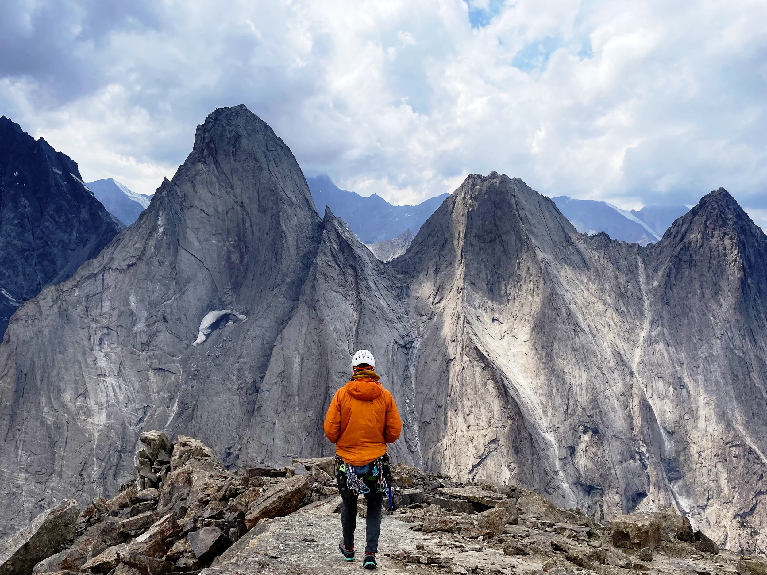
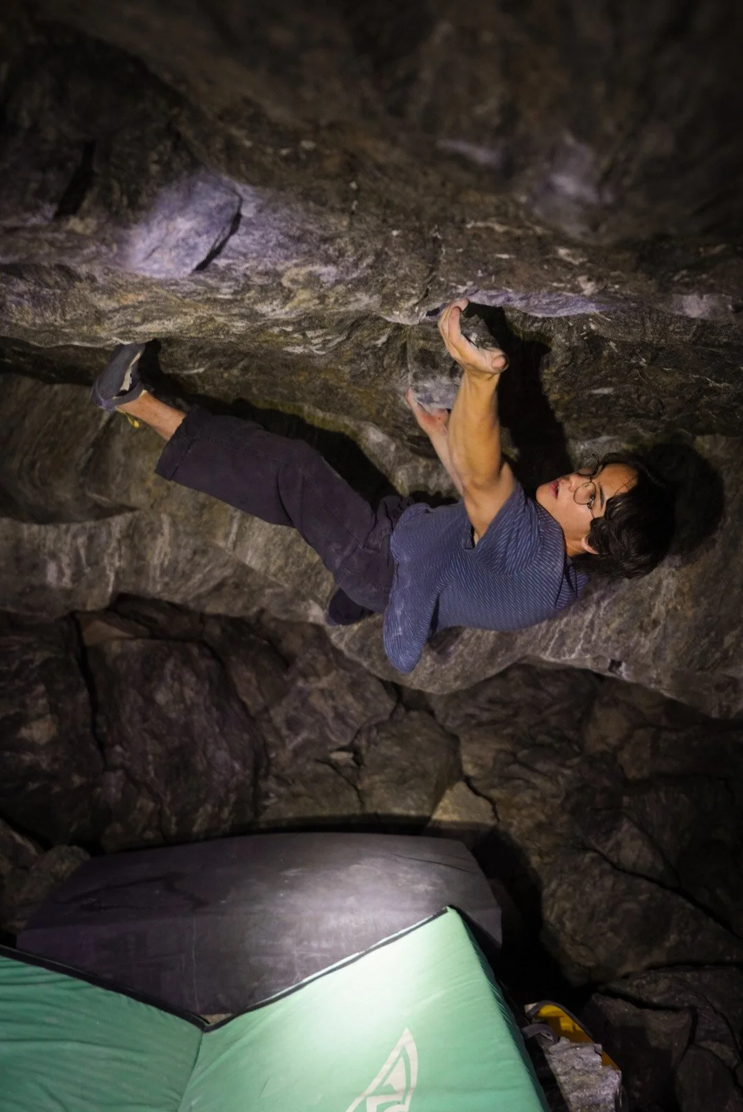
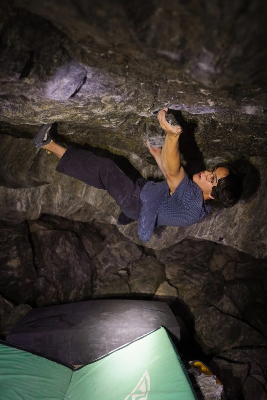
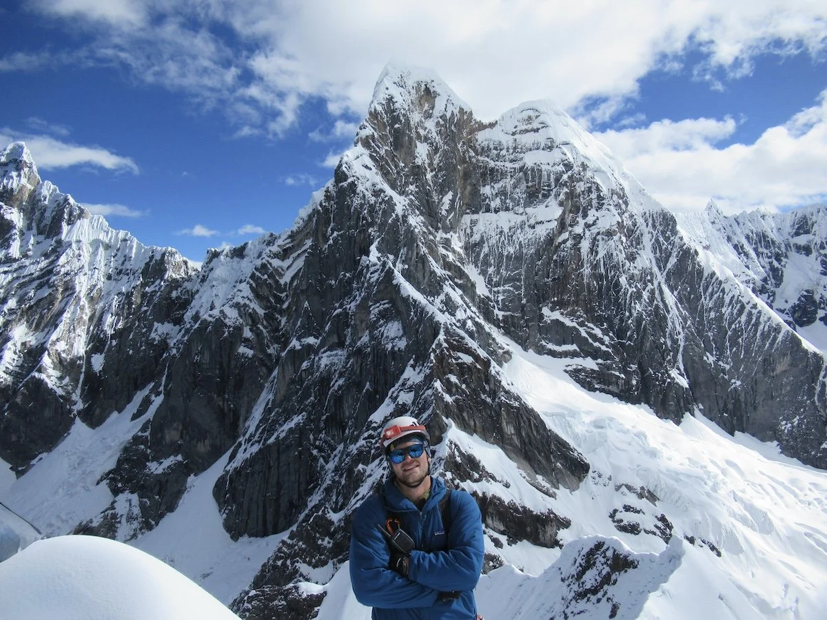
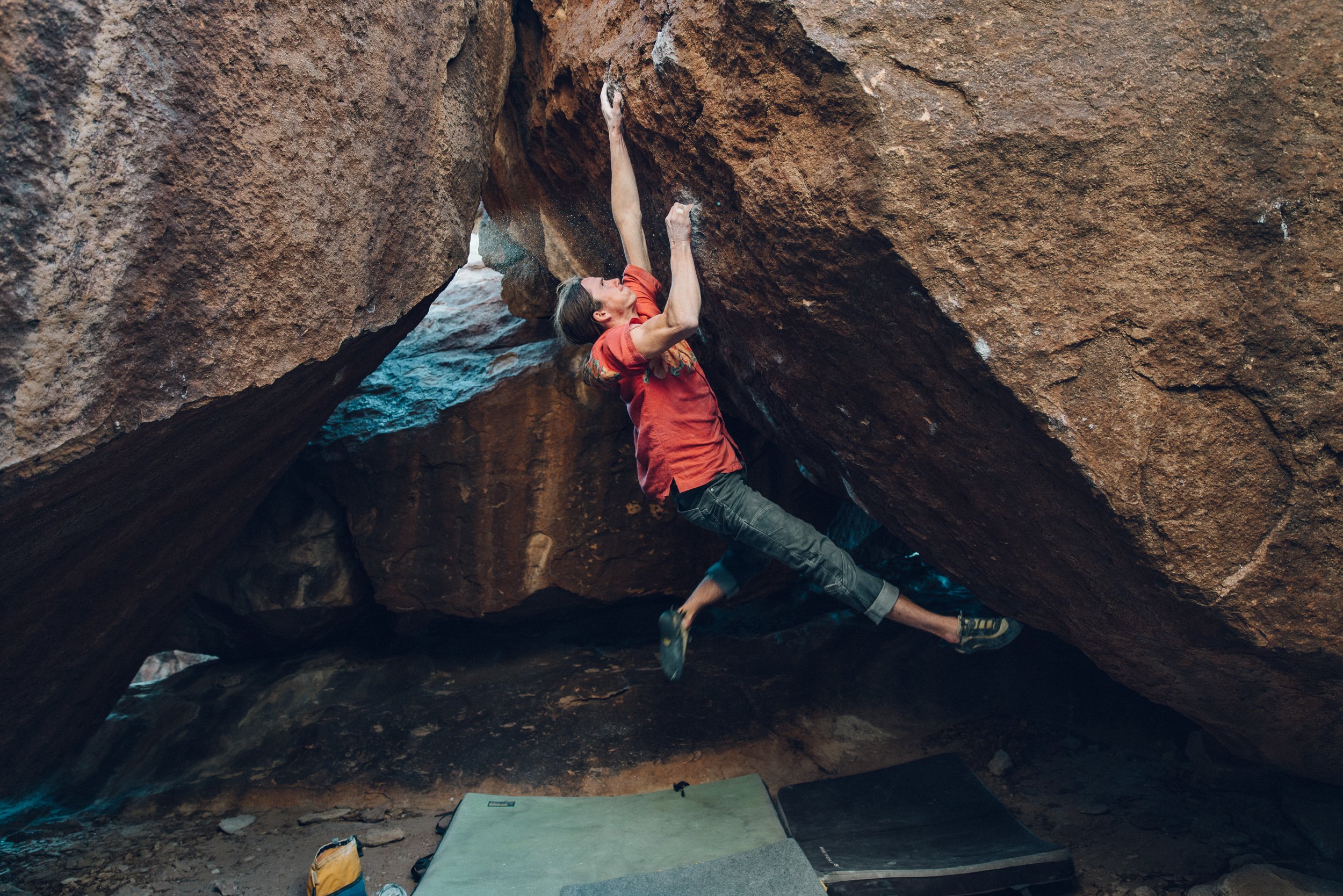
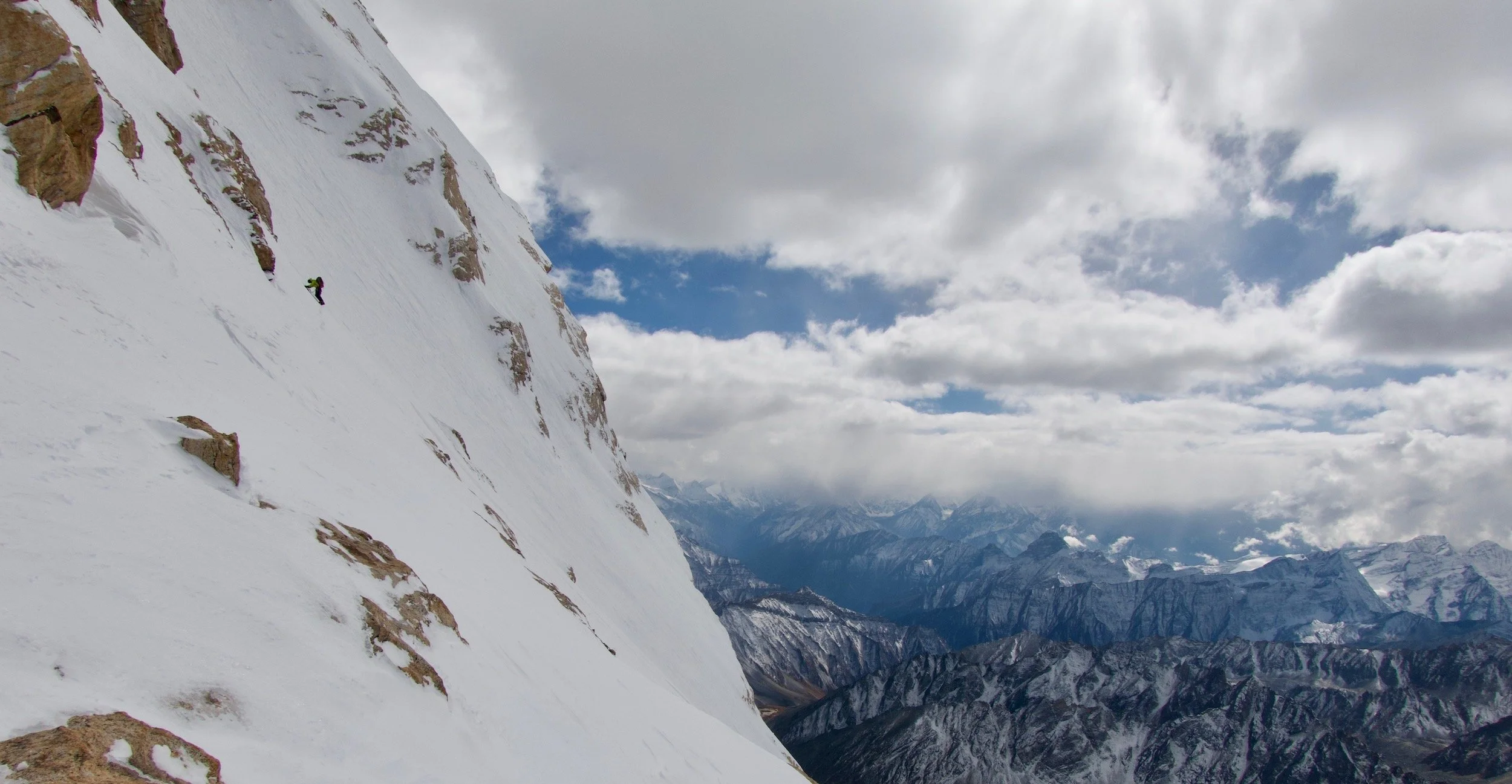
Image by Christian Kiefer

A Member Story by Christian Kiefer

Originally Published in Guidebook XIX.

My father enters the hospital after his third round of chemotherapy. Over the preceding months, he has suffered a sore throat and often been out of breath. The diagnosis is, at first, a crushed tonsil, the result of a previous round of chemo seven years before. Then came the revision: a return of lymphoma, a different variety than the one he had beaten, although this one is, they tell him, easier to treat. A good prognosis, considering; he feels calm and resolved. He beat it once; he knows what to expect; this will be much the same.

The first new round of chemo knocks him off his feet for a few weeks, but he recovers. The second results in a cough and shortness of breath serious enough to be of concern. Now, after the third round, the cough becomes persistent enough that he has trouble catching his breath and can't sleep. I am climbing in Red Rocks when my mom calls to tell me that I need to come home. It takes most of a day to get back to my parents' Northern California home, and when arrive, it is to find my father pale and drawn, exhausted, clearly out of breath, his sentences comprised of three or four words.

***

Over the next 25 days in the hospital, my father's condition improves and then worsens and then improves again and then finally cascades into an increasingly untenable situation. Air is black on a CT scan, and the image of his lungs from the previous year showed healthy black emptiness striated by white threads. The newest images show lungs the color of concrete: tissue without air.

“I just want three good days so I can talk to people,” he says. It does not yet occur to either of us that all the good days he might have had are already behind him.

I stay overnight every night, my sister and my mom take the day shifts. Some days, he wants visitors-anything to assuage the boredom-but the visits also exhaust him. On a day when neither my mom nor sister is available to sit with him, he bursts into tears when I arrive in the early evening. "That was too long," he says. "That was too long."

He goes from the ICU to the telemetry floor and then back to the ICU and back to telemetry and back to ICU again, where he stays. At no point do I really believe that he will not make it home. I assume that he will probably be on oxygen, at least until the chemo is over, and we talk about how I might rearrange his house so that he can get around better in a somewhat debilitated state.

"I think this is it," he says sometimes.

"But you're getting better," I tell him. "You don't see it because it's so slow, but you're better than you were when you first got here."

"I guess," he'd say in return.

"Shut the f*&k up," I'd tell him.

He would laugh. I would laugh. There would be laughter.
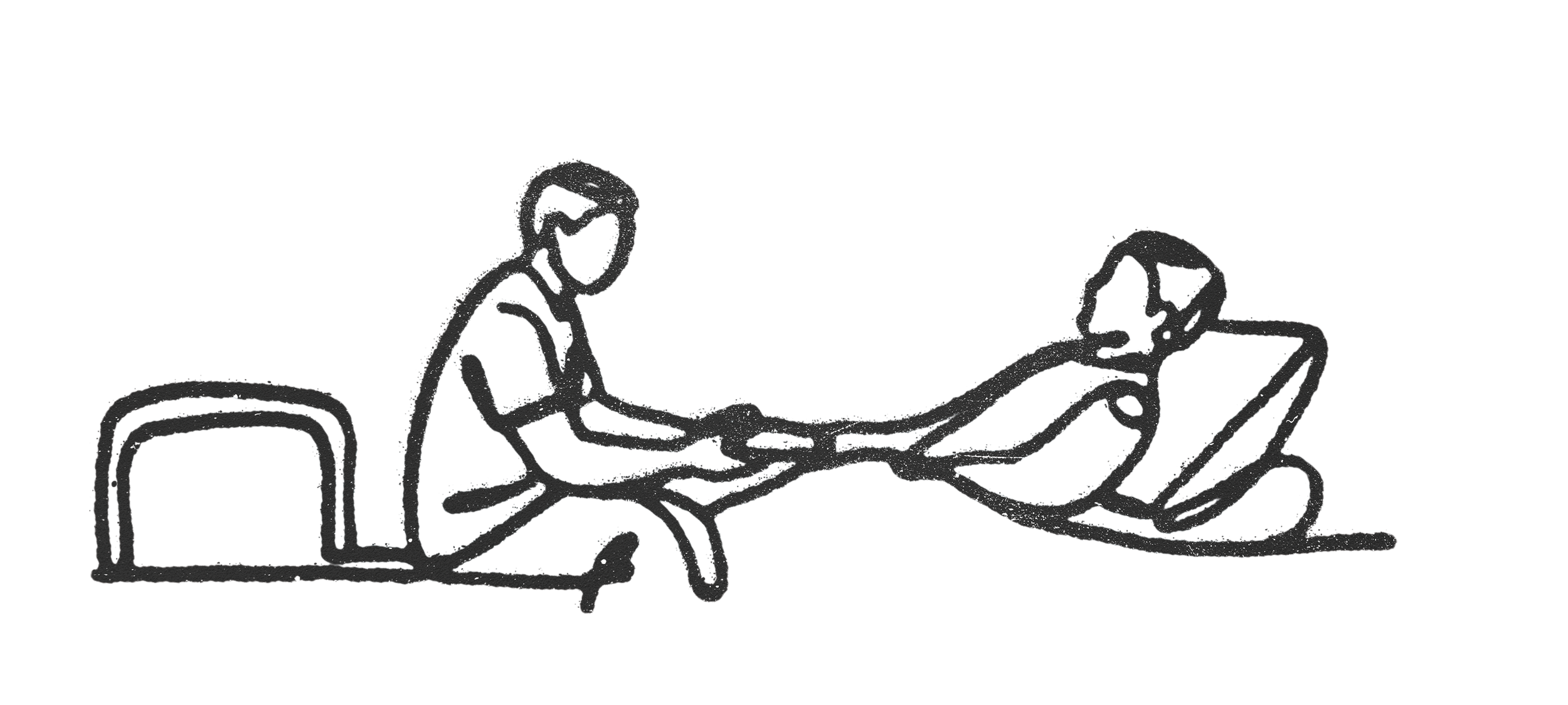
Illustration by Foster Denney

***

I give my dad the best of me, but when I’m not in the hospital, I feel the black wave of depression come washing once more over my heart. I was officially diagnosed with major depressive disorder at the age of 18 or 19, although it probably started well before that. There have been better days, of course, but over the past three or four years, the darkness has felt increasingly overwhelming.

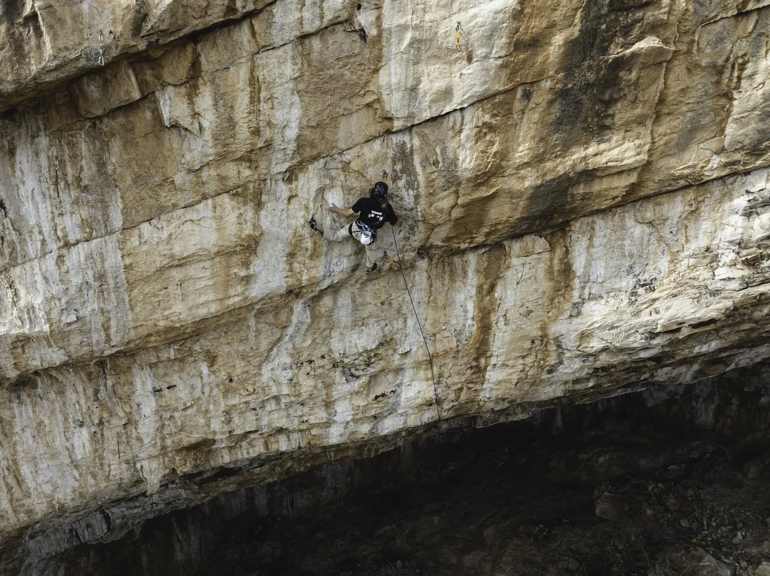
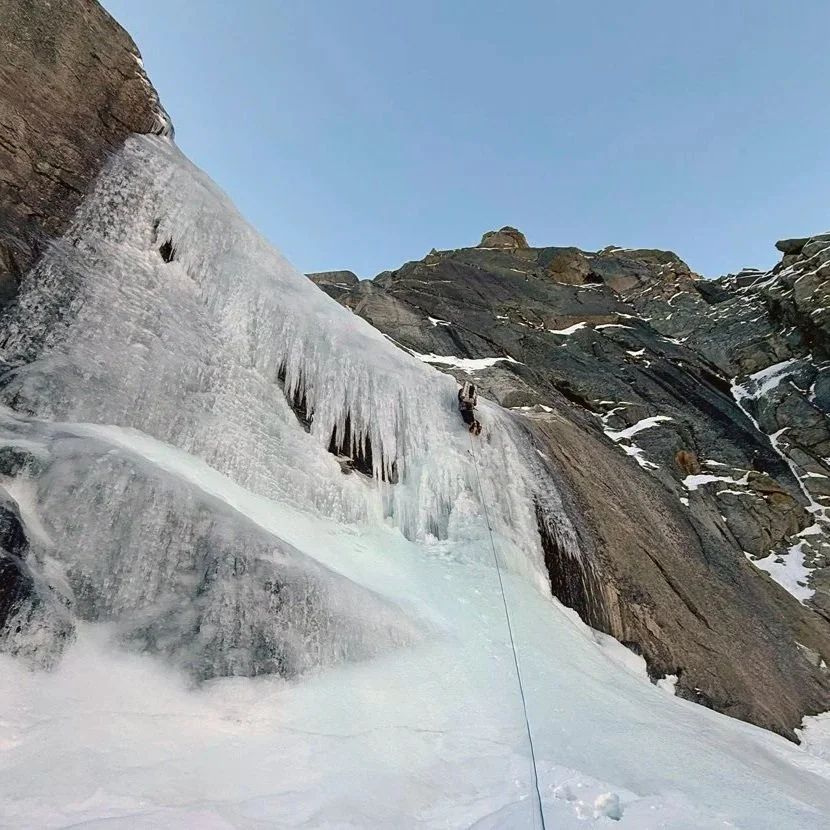
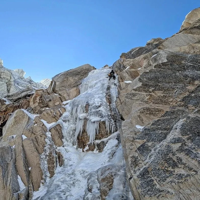
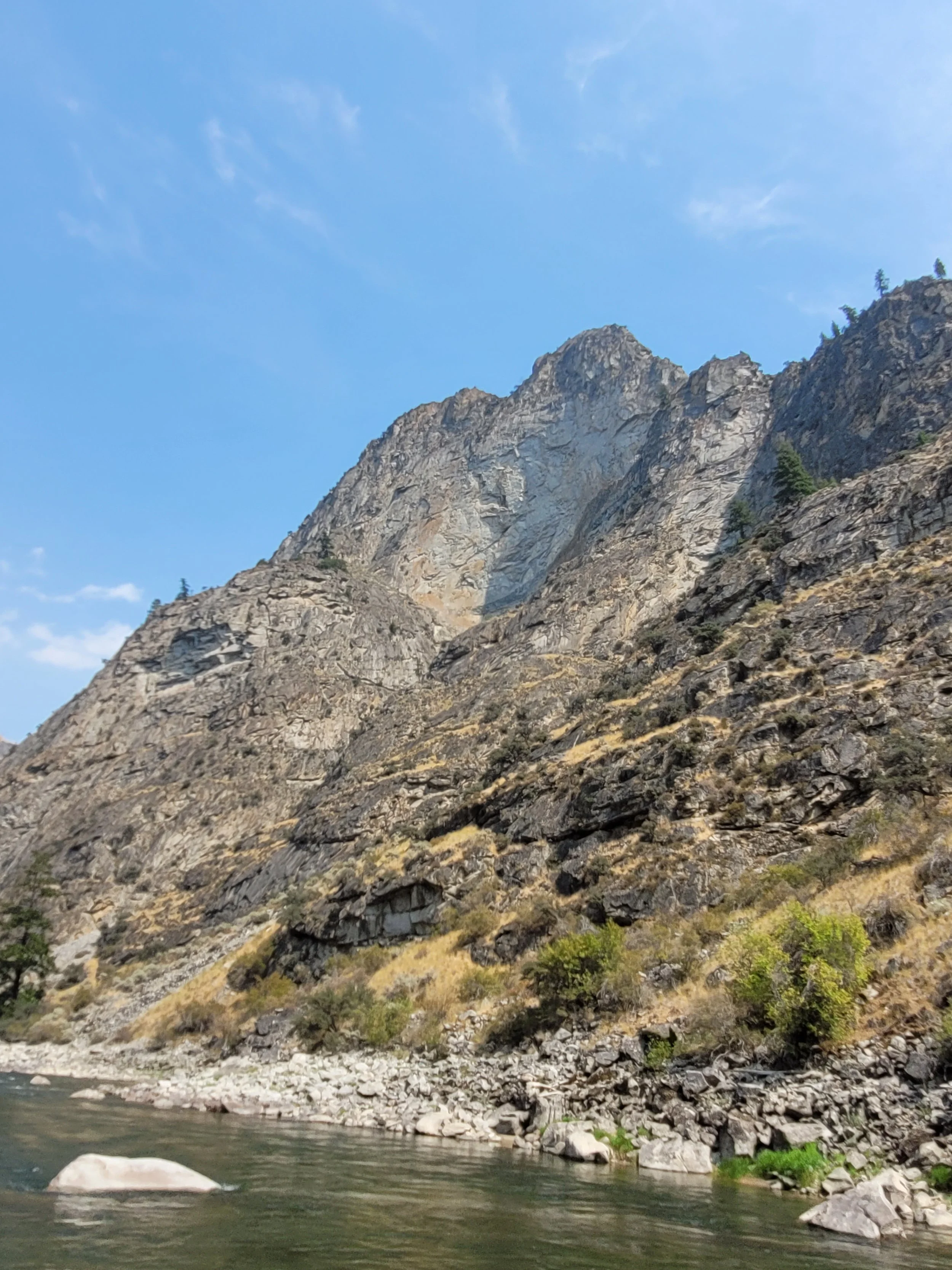
Climbing has been the only thing I’ve found that helps at all, and in the days between hospital visits, I’ve found a mungy, moss-covered, dirty, fractured, undeveloped crag not far from my home. My current climbing obsession is dry-tooling, although I’m not particularly good at it. Using ice tools to climb bare, unfrozen rock is a strange obsession for someone who lives in Northern California, the topography of which offers few venues. Climbing takes all of me, body and mind, so that there is nothing left. I can hardly remember a climb when I’m done with it—it’s like I enter a fugue state, less flow and more annihilation—and dry-tooling puts me in that headspace from the moment my cramponed feet leave the dirt. Perhaps this is a strange reason to climb, but I’ve found nothing else that brings me to absolute zero, without which I often don’t think I’d survive at all.

There’s an arête at the center of the crag, perhaps 20 feet of vertical or near-vertical climbing after which it devolves into typical Sierra granite rambling. It’s probably something like 5.8 in climbing shoes, the holds solid if dirty, but with ice tools and crampons it feels skittery and tenuous. I bolt it between trips to the hospital and do solo top-rope laps for hours.

***

I think about taking my dad out to the new crag when he’s better. I think about him sitting in the shade, belaying or just watching as I scratch my way up and down the route. Sometimes it feels like that day might be possible. Things get better. But then things get worse. During the days, I venture to the crag and put three sets of top anchors in, and then drop a rope and run up and down possible routes with my tools. At night, I show Dad pictures on my phone. At some point—10 or 11p.m.—I pull the chair into a bed and fall asleep listening to the various machines beep and whir. The nurses come and go. He does not sleep well—how could he?—so his nights are mostly tedious, watching the clock and waiting for the day to begin. When the sun comes up, it’s always a relief.

“Why?” I ask him. “Day and night are pretty much the same here.”

“I know,” he says. “It’s weird, but I’m always waiting for the day.”

He is mostly terrified—terrified and bored, a combination that anyone who has spent much time in a hospital will recognize with abject horror. He felt betrayed by his upbringing as a Catholic, and when he split from that faith, it was total. For him, what lies beyond is only a bleak and all-encompassing emptiness.

And yet this: “I keep thinking how much I’ll miss everyone,” he tells me from his hospital bed, the high-flow cannula a constant hiss. “I know that’s stupid. I’m the one who’ll be gone.”

***

By day 25, my father has deteriorated to the point where he can only function if dosed regularly with Schedule II painkillers—morphine and Dilaudid—and a cocktail of benzodiazepines for his ever-increasing anxiety and air-hunger. When I arrive home early that morning, I tell my mom that I hope we can wean him off the benzos, as they make him so exhausted and distracted, and it is impossible to communicate with him.

It is that same day that my sister calls to tell me that Dad wants to be taken off everything. “He’s done,” she says. There isn’t even a sense of loss. Not yet. There is nothing but the physical motion of getting back in the car.

His family, my family, gather across the afternoon. At his request, he is dosed with morphine, and we drop the oxygen slowly. I hold his hand and talk to him for five hours until he is gone. Or I try to. At four hours and 30 minutes, I fall apart, screaming and crying, my snot dripping onto the hospital floor. I can’t help him. I can’t do anything. And there is my dad, his final, agonal breaths rasping, and then, finally, lifeless, pale. And all I can think is: That’s my dad. That’s my dad. A few weeks before, he had been helping me build a storage shed in the forest. Now he is gone. And what I thought then, what I still think, is this: How can there be a world that my dad is not in?

* * *
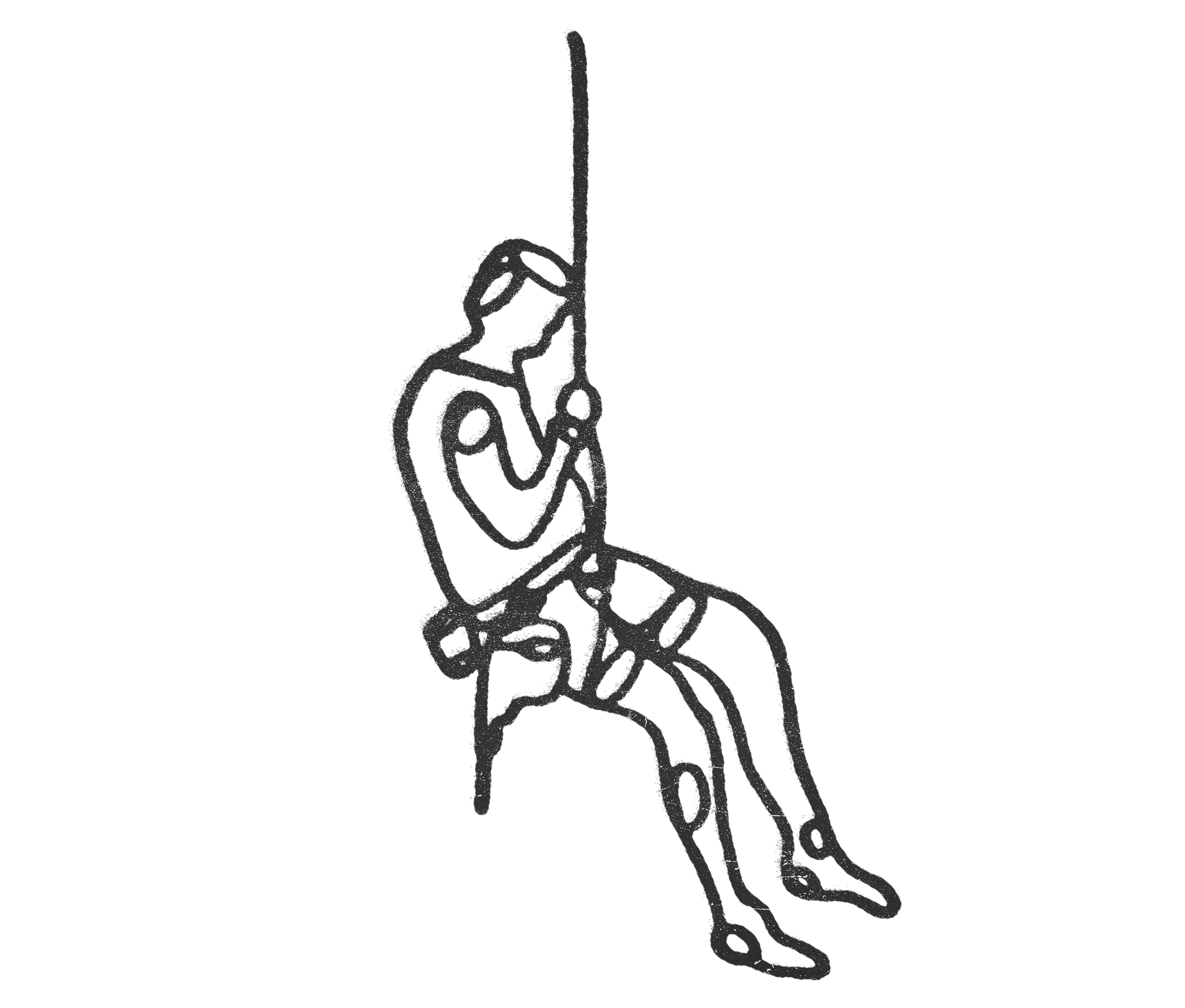
Illustration by Foster Denney

The day after my father’s death, I return to the crag, clip into the anchors, drop onto the rambling, fractured face, and begin bolting again. A few hours of granite dust, tears, sweat. Occasionally, I think of telling my dad about the new route only to be reminded that I’ll never get to tell him anything again.

I call the new route Mr. Subaru, in reference to my dad’s late-in-life used car business. The route runs up the side of a broken arête so that the climber must shuffle up and to the right over and over again, rising and turning across the face on thin edges, one’s body constantly tipping sideways into the fall line, ice tools scratching at bare granite. It is balancey, tenuous, and just difficult enough to demand attention. I cannot say that I feel any joy upon the first ascent, but it at least requires enough of me that I can’t think of anything else.

I have no partner at the crag. Everything I do here is alone. I bolt routes and climb them. I sit in the shade of the cedars. I weep.

* * *

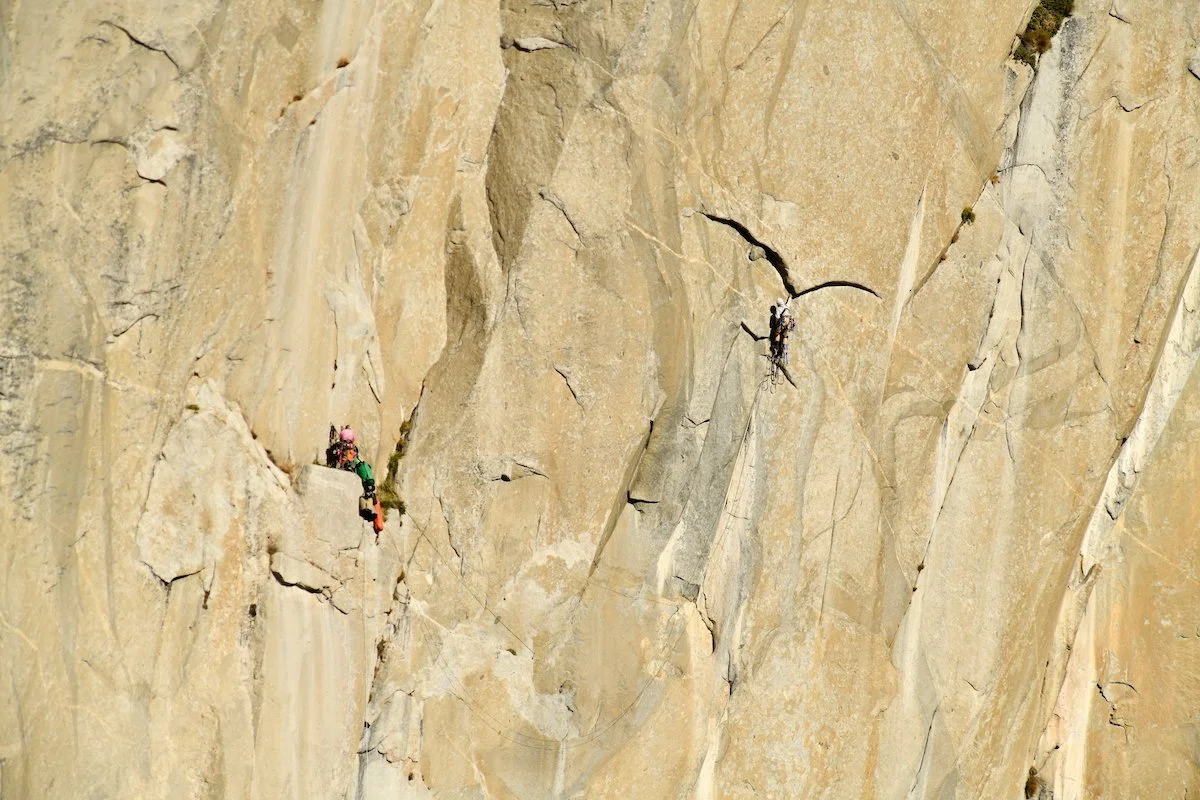
My father returns home as a box of ashes in early July. The box is simple cardboard wrapped in plastic, although there’s a separate small baggie for me to scatter in Yosemite, the place he loved the best in all the world. I have plans to go up El Cap and scatter those ashes from the top after climbing it, but realistically, that will probably never happen.

My mom places the box on a small shelf in the closet of the bedroom, which is now only her own.

What is the point if, in the end, you are just a box of ashes in someone’s closet? Why struggle? Why do any of it at all?

* * *

I bolt three more routes. There is a wasp’s nest in one of the cracks under a prominent roof, although I cannot determine which crack actually holds their paper hexagons. The wasps are uniformly black and move lazily around me as I pull myself up the route, testing holds, looking for good crampon placements from which to clip, thumping possible bolt locations with my fist or the hammer. Then the impact drill. Then the bolt and the hammer. Then I wrench it down.

The rope I have been using was fairly new when I started; once 80m, it has been cut into 50m and 30m, rockfall having created a core shot. Even what remains is fuzzy in places, probably unsafe. I’m not sure that I care, although I have noticed that, when putting up my rope for the day, I’m not excited about falling from the top anchors. So do I want to live? Maybe my body does, the animal in me. Sometimes I holster the drill and just hang there in the harness midway up that fuzzy rope. Sometimes I cry there, up above the ground. Sometimes I just remain where I am for no reason I can determine. Maybe it’s just the act of being in a location difficult enough to get to that I feel a measure of safety. Sometimes I close my eyes. Sometimes I open them.

* * *

The most difficult route gives the entire crag its name: Grief Project. It’s the route with the wasps, beginning with a short slab with scratchy but positive placements, just enough to keep you moving and in balance. The trouble starts at a roof that is, coincidentally, about where the slab smooths out, and the placements disappear. One can lever in the back of the roof—difficult but possible—and then a pick can be slotted leftward into a crack formed by an exfoliating hunk of granite akin to a loaf of French bread. It’s a solid placement, but just at the edge of the lip of the roof, so that one is forced into a left-handed lock-off on that tool. It’s difficult—impossible for me—to get into a Figure 4 or 9 as my body ends up crammed up under the roof and I actually lose more height than I gain.

I think about the route at night when I’m lying in bed, in my parents’—in my mom’s—spare bedroom. Sometimes I feel like I can almost do the move. If I lock off and then reach far right and then shift my feet over to the bottom of the roof …

But instead, I’m stuck at the lip of the roof again. I scratch around, sweat running into my eyes, but find no purchase. The black wasps circle. One eventually stings me on the forehead as I struggle to release my two progress capture devices from the rope. This is the price of the ticket, it seems.

* * *

When one is in the depths, when the black dogs are roaming, you do not remember ever feeling different. You cannot. The overwhelming feeling of doom is your only reality, and it is infinite. Upon waking, it is with the grim understanding that I am now faced with the task of filling another seemingly endless collection of bleak hours before I can return to bed. I’ve told people it is akin to waking up each day with an invisible gun in your mouth.

The psychiatrist writes a Wellbutrin prescription to augment my current Prozac. My mom tells me I seem better. I don’t feel any difference except that now I’m waking up at 7a.m. and can’t get back to sleep, a problem in that it adds to the daylight hours I need to fill. So I do what I do: I pack up my car with my increasingly decrepit rope and the box of bolts and hangers, screws and washers, set everything on the junk-show that is the back of my car, and head back to the project.

A few times a day, teenagers, mostly boys, pass on the trail below me on the way to or from the swimming hole and cliff diving downriver.

“Whoa, bro, are you a climber? That’s so sick.”

“Did you see that movie about that guy who climbed that stuff?”

“Have you climbed El Cap?”

I’m kind, and I even answer their questions, but you can imagine what I’m thinking.

* * *

At some point, I put the Grief Project on the internet. I’m not done with the development yet, but it helps me keep track of things. Each route is named with significance, most related to my dad’s passing, but others in tribute to a friend’s deceased brothers. There are ten climbs now, each slowly being filled in with lead bolts; all ready for top-rope, at least.

I tend to head out to the crag in the late afternoon, avoiding the direct summer heat, bolting for an hour or two, and then heading home. Sometimes I think that the bolting is not really the point; the point is that I have to force myself to get out of the house and do something, and this is what I’ve chosen. It is lonely, but then again, so am I.
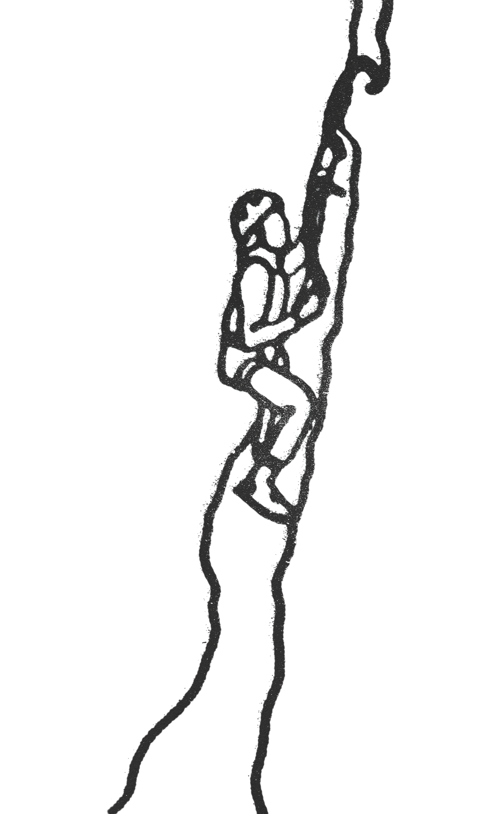
Illustration by Foster Denney

Then comes a day when, much to my surprise, I arrive at the crag to find a rope—not my rope—affixed to one of the anchors. I rap in to discover someone I don’t know top-rope soloing Mr. Subaru. When he reaches the ground, he introduces himself. He’s found the crag from my internet post and has driven from Sacramento. Now he’s effusive in his thanks for my commitment to dry-tooling and the work I’ve done in putting in the routes. When he talks about the climb, calling it by the name I have given it, the name that was in honor of my dad, I almost start crying. He rattles off the other climbs he’s already done here: Pop Goes, The Creezle, Take What You Need. They’re all names that hold deep meaning to me, and now they are in the world. “I did a variation of Discrete Mathematics,” he tells me. I ask him if it’s good, and he tells me it’s his favorite of the crag. So I bolted it as a route and put his name up on Mountain Project as the FA. Mathematics Direct (Variation), I call it.

I call my eldest son that night and tell him I met a guy climbing the routes I put up. “That’s f*&king awesome,” he says. “Those routes will be there forever.”

I guess that’s true.

* * *

I don’t know where this all leaves me. In depression, there is no great reckoning. With addiction, one can—at least theoretically—stop using and begin the path to recovery. But there is no recovery from depression, or at least I don’t know of one. I take my meds each morning, although there comes a day when it’s clear that the Wellbutrin is making things worse. I cry during a visit to my regular doctor, then I cry at the dentist’s. There isn’t any clear thought behind it; it’s just a terrible ache in my gut and a mangled moan interrupted by sobbing. I pull over on the freeway; I stop in parking lots. There’s no end to it. My head aches. I have a therapist and a psychiatrist, so I’m doing what I’m supposed to be doing, but I don’t know if any of it will amount to anything.

And yet I return again and again to the Grief Project. It’s been a private place for me, but now it’s public, a community resource. I know of five people who have visited the crag. Perhaps more will come. There’s an active dry-tooling community in Bozeman, the place where I first fully caught the dry-tooling bug, and sometimes I wonder if I could start something similar in Northern California. This has been a place of terrible grief but also a variety of solace, and sometimes I fantasize that we could hold a small dry-tooling festival here under the cedars, on the banks of the river. What a strange thought to have. Does this mean something is working?

I feel empty when the final bolt is tightened down, and I pull up the rope, coil it, and begin the short walk back to the car. It feels like something has ended out here in the shadows of the cedars. Not my grief, but this stage of working through it, of allowing my heart to change shape enough to begin to contain it. Or whatever the heart does. That night, I log into Mountain Project and add one final route, the sixteenth: up the mungy, broken corner that runs up the right side of the crag. I’d been looking at it for a long while, thinking it might need bolts, but I think I’ve put enough bolts in already, and it’s not really a climb that someone would much want to lead: a scramble up broken granite steps with plenty of easy rests, perhaps something a newcomer to dry-tooling might enjoy. I decide to keep it unbolted. Top-rope only. A blocky road disappearing into the ever-darkening sky.

As I type this, my dad’s 1970 El Camino SS gathers dust in the carport under the deck. He restored it from junk, lavishing it with care and attention. Even through the dust it shines, a blue that is almost black.

I call the route El Camino Obscuro. The dark road.

I wish you were here to see it all, Dad. God, how I wish you were here.

Sign Up for AAC Emails

The Line—First Ascent of Duality of Man, America’s First 5.15d

Sean Bailey locked into a wild rose move on the Duality of Man headwall, with its porcelain-hard orange-and-white rock and microscopic handholds. Photo by Ben Neilson (@neilson.ben)

5.15d Comes to America

The Dry Canyon, an hour southeast of Tucson, Arizona, is a forbidding place. Tucked within the sere Whetstone Mountains in the Sonoran Desert, the Dry is comprised of a scarp of limestone running up a sunbaked hill, home to scree, cacti, rattlesnakes…and sometimes sport climbers. The one time I visited, we busted our rental car’s oil pan on the 4x4 road and I got heat exhaustion walking up the hill, albeit in late April, when the crag is well out of season.

With 100-plus mostly attainable sport routes in the 5.10–5.14 range, this remote desert crag hardly seems like a place where you might find America’s hardest sport climb. But it is. It’s here, in the Celebrity Cave at the top of the hill, that you’ll find Duality of Man, a 5.15d freed by Sean Bailey (@seanbailey) in March 2025, a process documented in the inaugural, 2026 American Climbing Journal. 

There are only five total proposed 5.15d’s (9c’s) in the world, beginning with Adam Ondra’s Silence at Flatanger, Norway, climbed in 2017. (The Céüse, France, route Bibliographie, which Alex Megos freed in 2020 and originally graded 9c, has since dropped to consensus 9b+.) The article below gets into the breakdown and unique difficulties with Duality. But perhaps the most notable thing with this 9c and the four others is that they all took huge campaigns by top climbers and they all remain unrepeated, showing just how much dedication—and often specialization—is needed for the world’s hardest sport climbs. 

—Matt Samet, Editor, American Climbing Journal


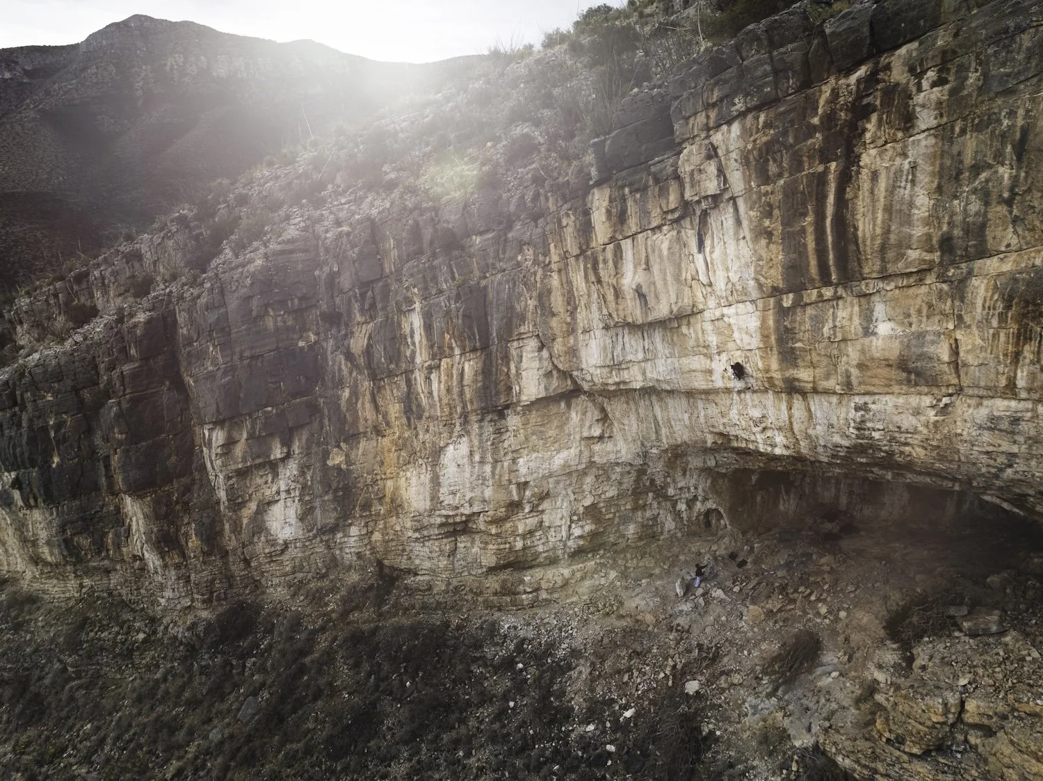
A pulled-back view of Duality of Man. The route was bolted two-odd decades ago but didn’t go free until 2025. Photo by Ben Neilson (@neilson.ben)

How Sean Bailey dug deep to put up the States’—if not the world’s—hardest sport climb

At present, there are only five routes given 9c (5.15d) on Earth, all unrepeated: Silence, put up by Adam Ondra in 2017 in the Hanshelleren Cave, Flatanger, Norway; DNA, put up by Seb Bouin at La Ramirole, Verdon Gorge, France, in 2022; B.I.G., also in the Hanshelleren Cave, its first ascent livestreamed by Jakob Schubert in 2023; Duality of Man in the Celebrity Cave, Dry Canyon, Arizona, freed by Sean Bailey in March 2025; and Café Colombia at Margalef, Spain, completed by Jorge Díaz-Rullo in March 2026.

But here’s the thing about Duality, the first (and so far only) 5.15d on American soil: If you run its discrete sections through the online grade calculator Darth Grader—5.14c to a medium rest to V11/12 to another medium rest to V15—Darth spits out a new grade altogether: “9c+ [or 5.16a] soft.” (For comparison, the only other one of the world’s 9c’s with a crux this hard is Silence, where some have said the upside-down compression and crack boulder might even be V16, though it does come after a no-hands knee-bar.) So, it’s possible that Duality is the world’s first 5.16. However, given that it is way up a hill at the end of a gnarly 4x4 road and faces almost due south in the sere, remote Sonoran Desert of Southern Arizona, it may be some time before the climb sees a repeat. Well, that plus the insane difficulty of the climbing.

Duality’s first half is the existing sport route Lee Majors, a 5.14c cave tackling tufas, pockets, pinches, and tiered roofs via improbable dynos and knee-bars. The line was bolted by CP Little in the Dry’s early days and freed by Nathaniel Coleman in autumn 2018. Above Lee Majors’s anchor is an extension that Coleman bolted after his FA, rapping in off upper anchors placed by Little. As Coleman tried the moves, a key hold broke on the 25°-overhanging headwall, rendering the crux harder. The full climb is outlandish, a massive roof on drippy, Spanish-style limestone to a white- and orange-streaked headwall, its rock porcelain smooth. 

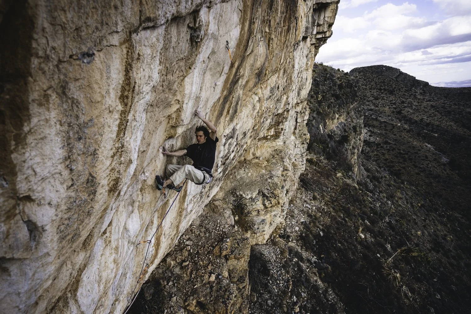
 Sean Bailey on the headwall of Duality of Man, Dry Canyon, Arizona, a 5.15d—America’s first—that he freed in March 2025. The route links the 5.14c cave route Lee Majors (FFA: Nathaniel Coleman) into two extremely difficult boulder problems on the headwall, the final one—the crux—being a complex V15 on terrible holds. Photo by Ben Neilson (@neilson.ben)

It is also remarkable at an area that, with the nearby Farmhouse, has remnants of “90s ethics,” that there’s only one artificial hold, an enhanced gaston on a V11/12 boulder at the start. CP Little clearly saw that the climb could be done by someone, someday, and left it in a nearly 100 percent natural state—which may just be needed to cultivate climbs this hard. (Both of the Hanshelleren Cave routes, on featured gneiss, are natural, while DNA has, as is common on limestone, glue reinforcing at least one hold that broke.)

That someone was Sean Bailey, who spent three seasons on Duality—his final one, according to Climbing.com, being a concerted two-month push with lots of “almost sending”—often committing to evening sessions to avoid the heat and finally figuring out that he had his best burns when there was the biggest delta between the ambient temperature and the dewpoint.

Bailey is an almost deliberately low-profile phenom, having made a rare repeat of the Céüse 5.15c Bibliographie in 2021 and the only repeat, in November 2025, of Aidan Roberts’s mysterious crimp line Arrival of the Birds in Chironico, Switzerland, given 9A/V17 but sometimes speculated to be harder. On Bailey’s send go of Duality, only the second time he’d made it through the middle V11/12 and well into the V15, he told himself, “[All] right, this is finally the fucking moment. I can finally take control of the situation again, and I’m just going to make it happen.”


New Cutting Edge Episode—The South Face of Kichatna Spire

The south face of Kichatna Spire in Alaska was one of the great unclimbed walls of North America. Until July. On their second attempt in two years, young American alpinists Eli Spitulnik and Michael Telstad climbed the 1,000-meter face with a blend of difficult aid and tricky mixed, placing no bolts. In a tight weather window, they blazed up and down the face in a little over three days, with only a four-hour bivy and some catnaps along the way, leading to a level of exhaustion that pushed them to the brink of delirium.
In this episode, host Jim Aikman interviews Eli and Michael about their adventure, explores the rich, colorful history of the Kichatna Mountains with legendary alpinist Conrad Anker and American Alpine Journal Editor Dougald MacDonald, and shares recorded tales from Al DeMaria and Peter Geiser, two members of the very first climbers to enter the Kichatnas, way back in 1965.

The Cutting Edge is sponsored by:


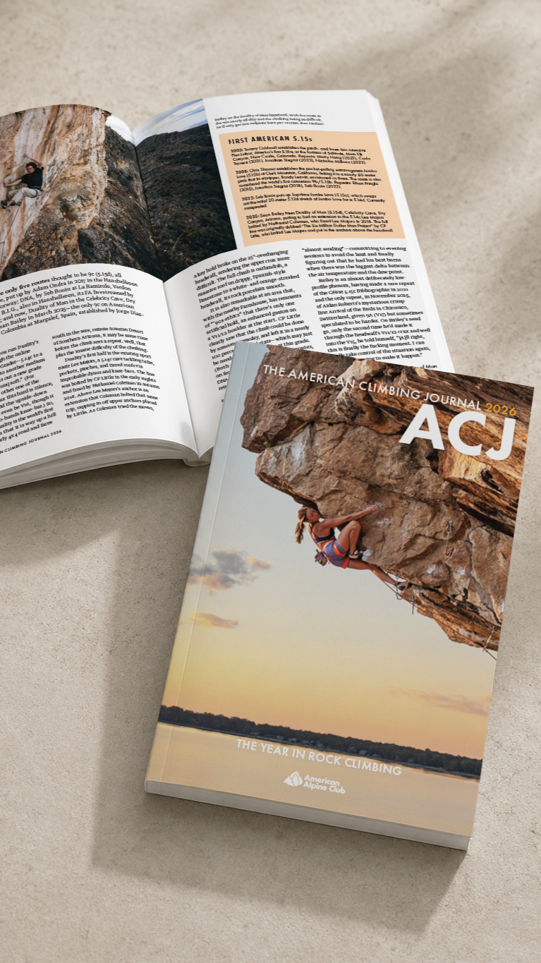
Want More Bouldering and Sport Climbing? Get the American Climbing Journal

Want more thoughtful, deeply researched writing on the cutting edge of North American and international rock climbing in your mailbox? Then join the American Alpine Club at the Partner or higher level, and opt in to receive the inaugural, 224-page 2026 American Climbing Journal! With stories like Adam Ondra flashing Lexicon (E11), Katie Lamb sending The Dark Side (V16), Connor Herson’s crazy pogo on the first 5.15a trad line—ever—plus other features from or about Sasha DiGiulian, Noah Wheeler, Jonathan Siegrist, Sungsu Lee, Hamish McArthur, Mary Eden, Seb Berthe, Chris Deuto, and so many others, the 2026 ACJ offers the world’s best climbing stories about the world’s hardest and most interesting rock climbs. 


Sign Up for AAC Emails

American Alpine Club Launches New Mentorship Program in Grand Teton National Park

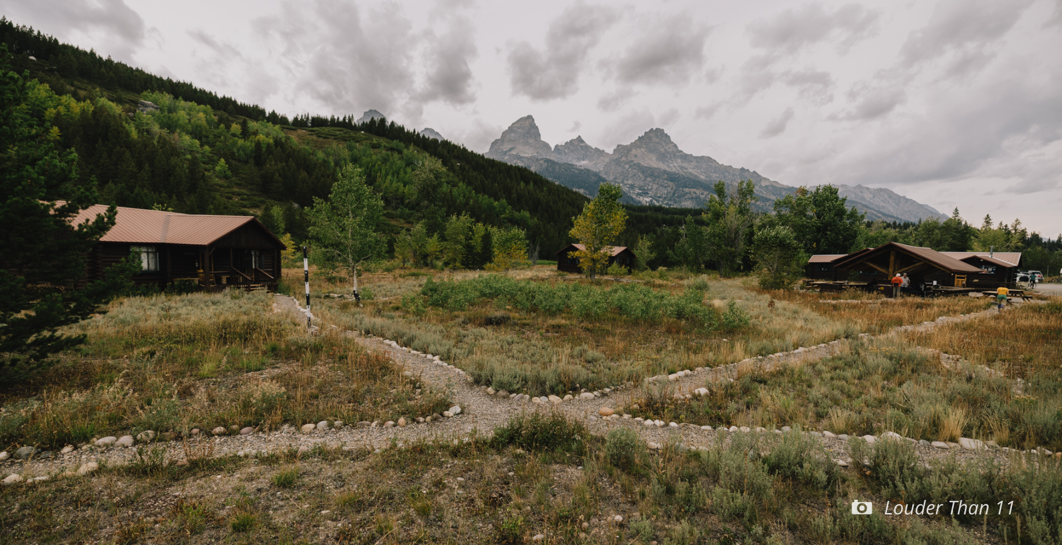
Image by Fredrik Marmsater.

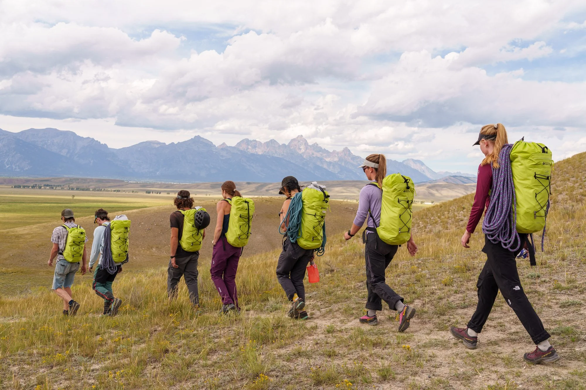
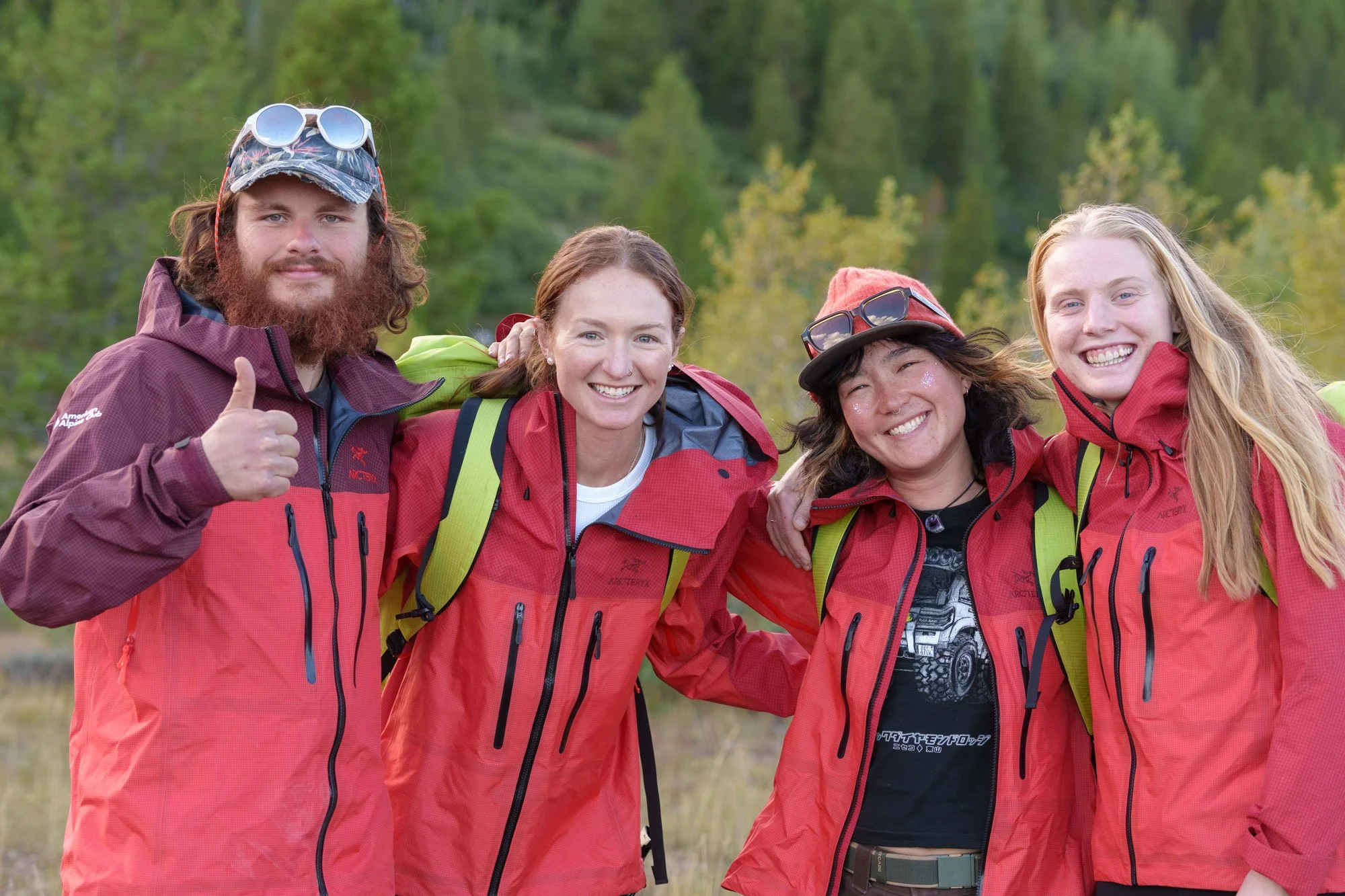
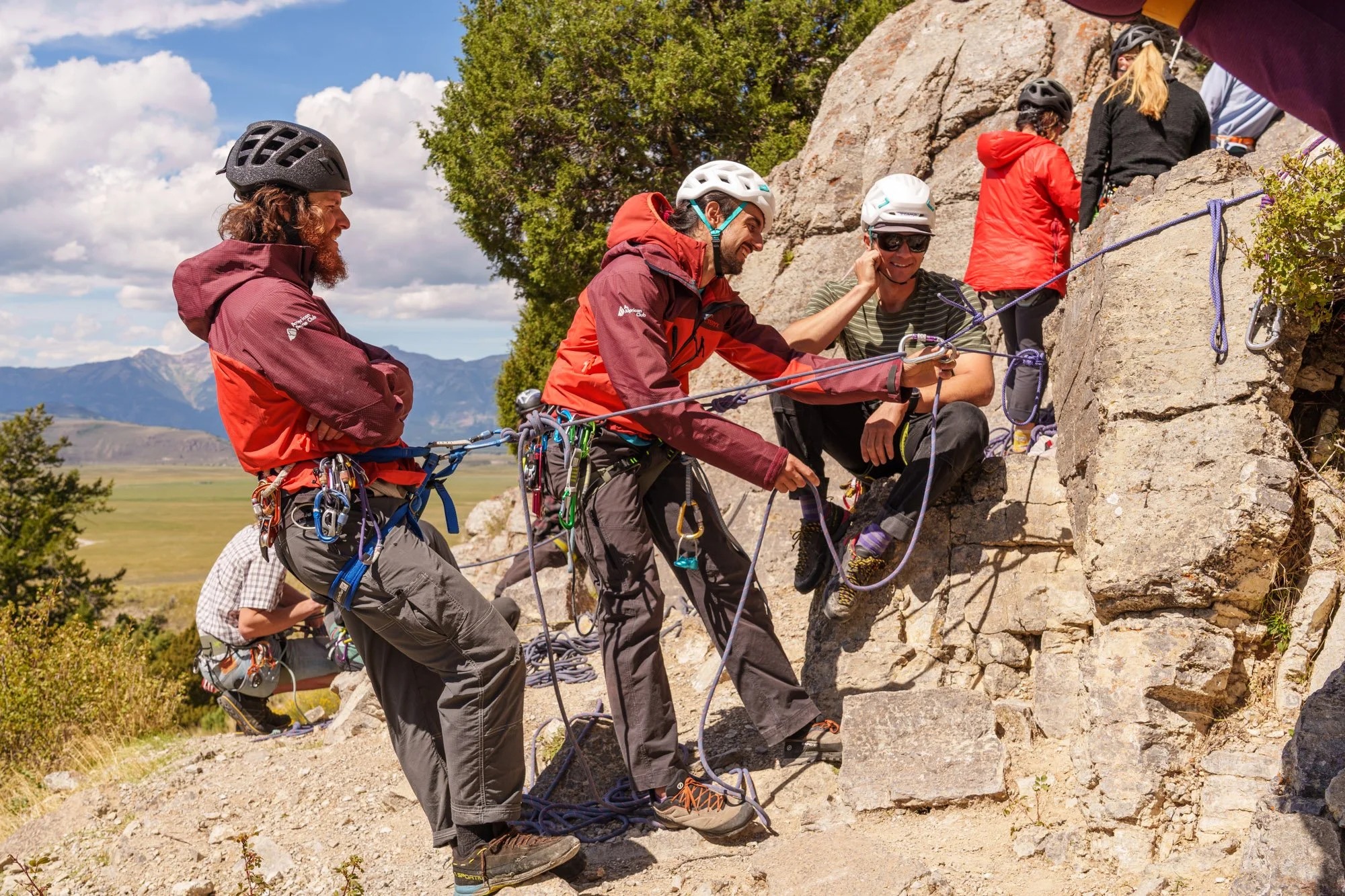
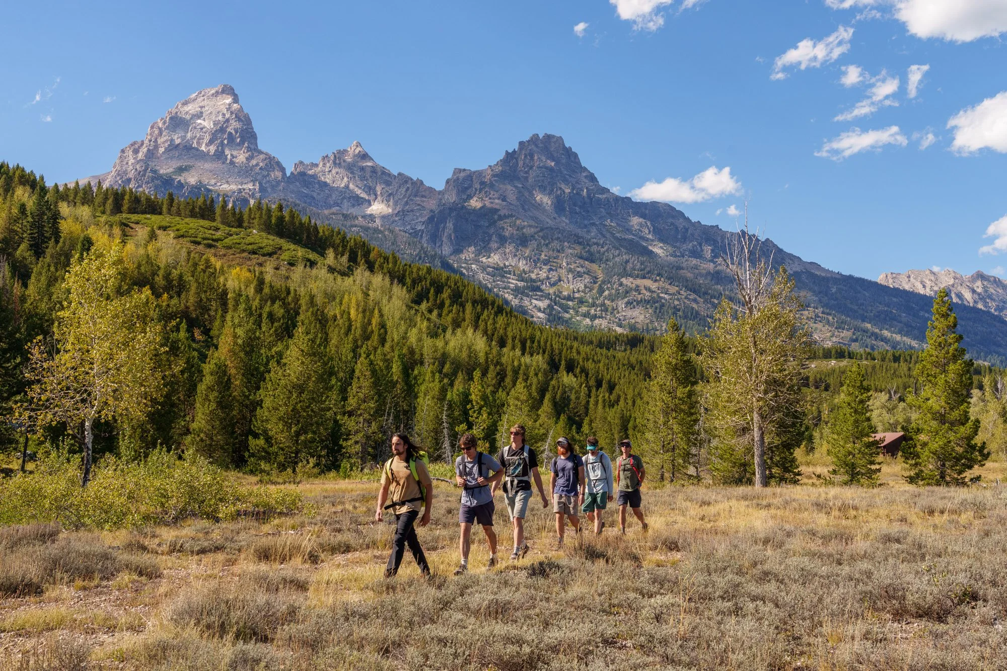
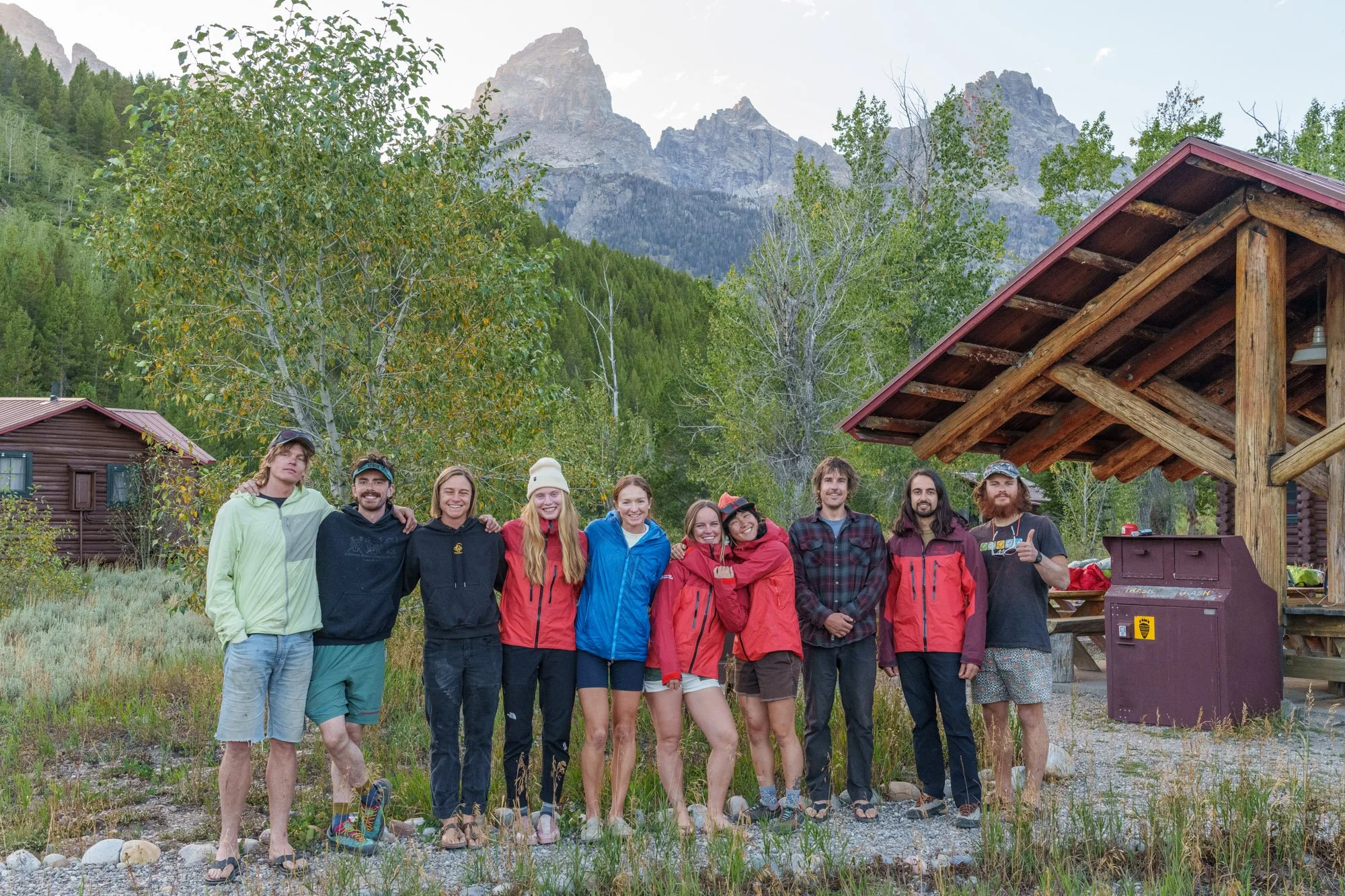
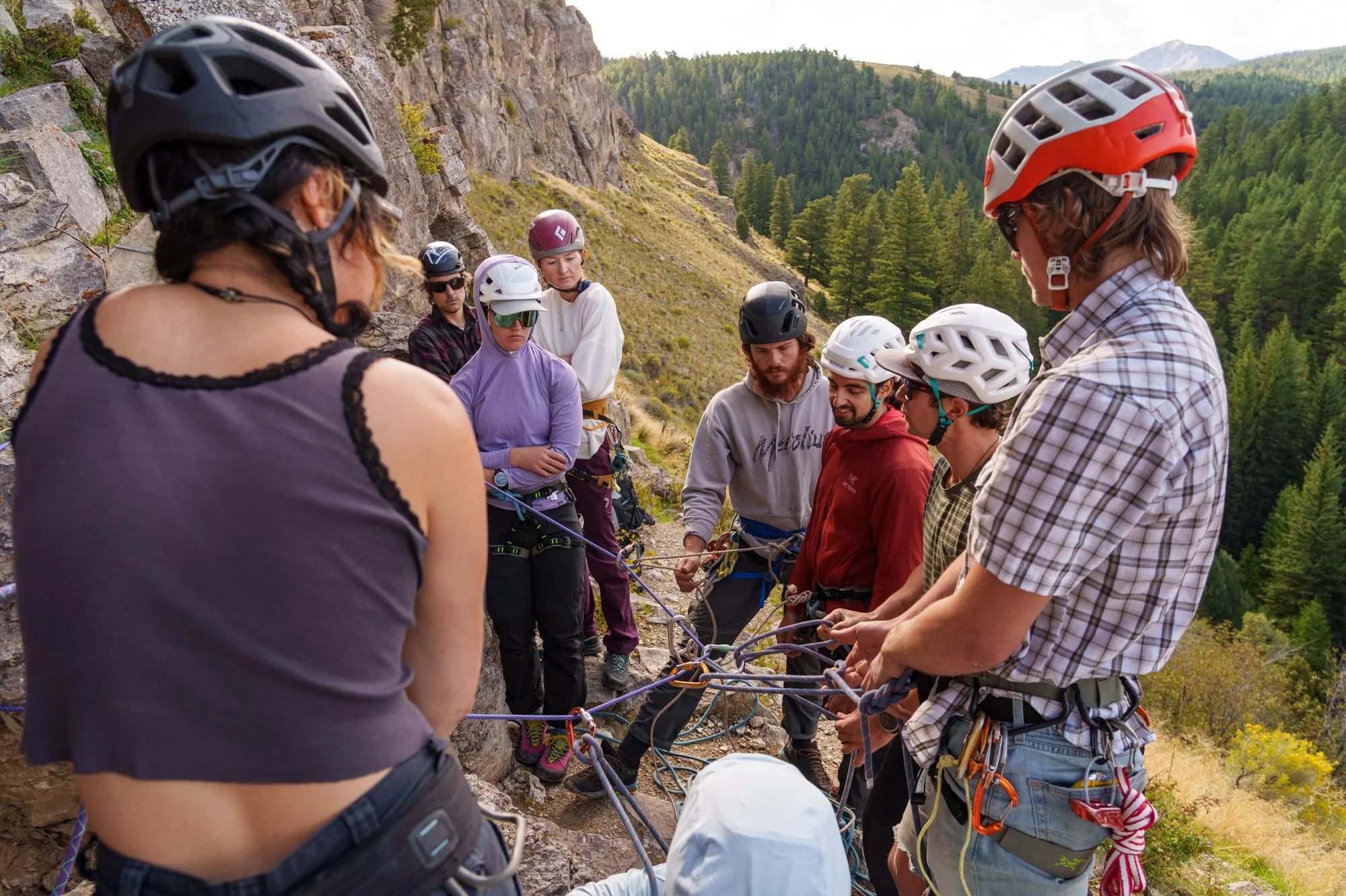
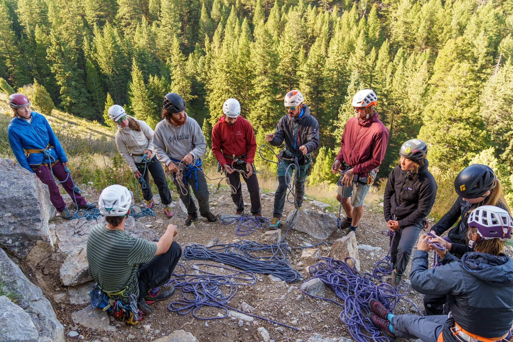
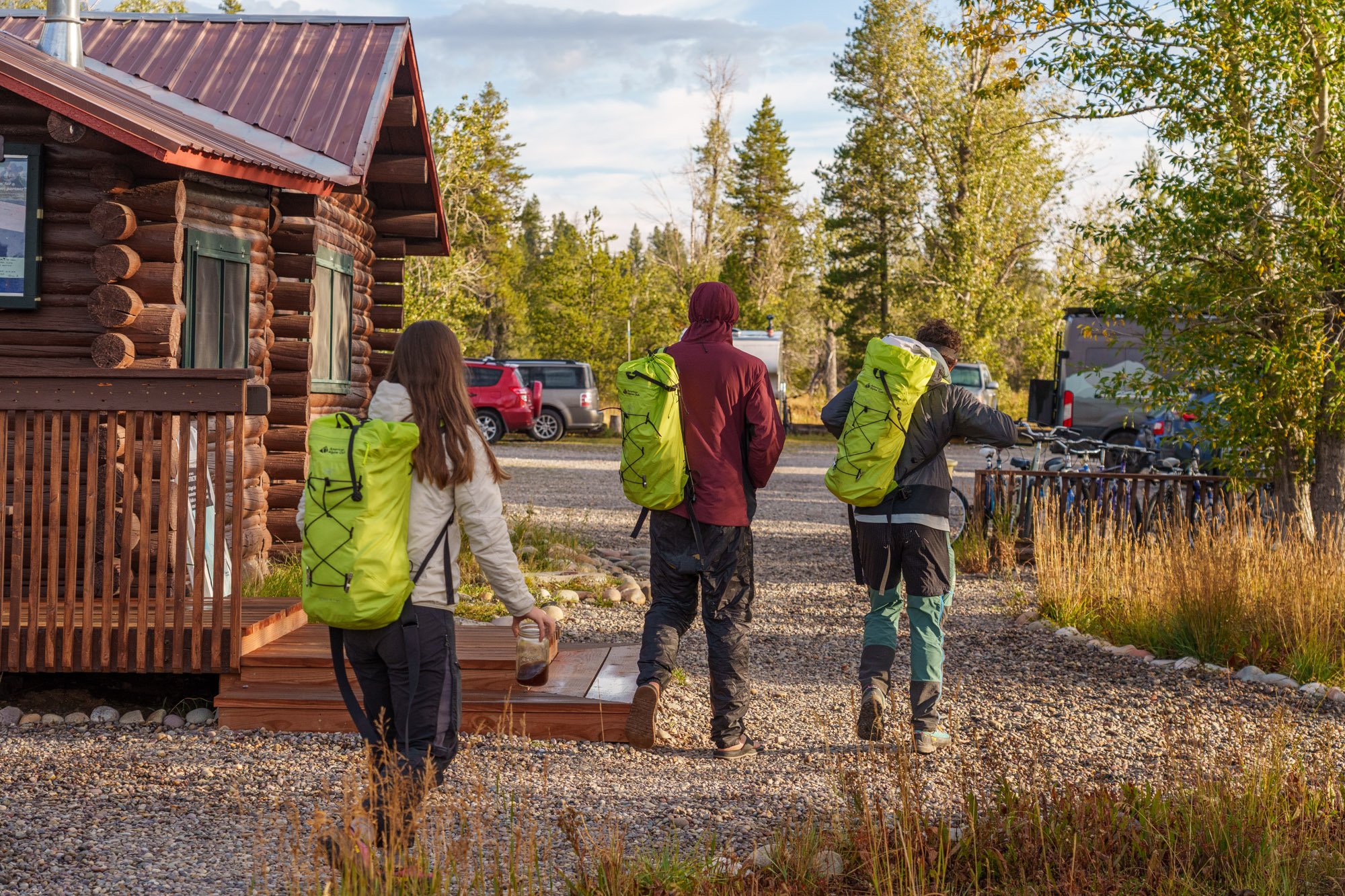
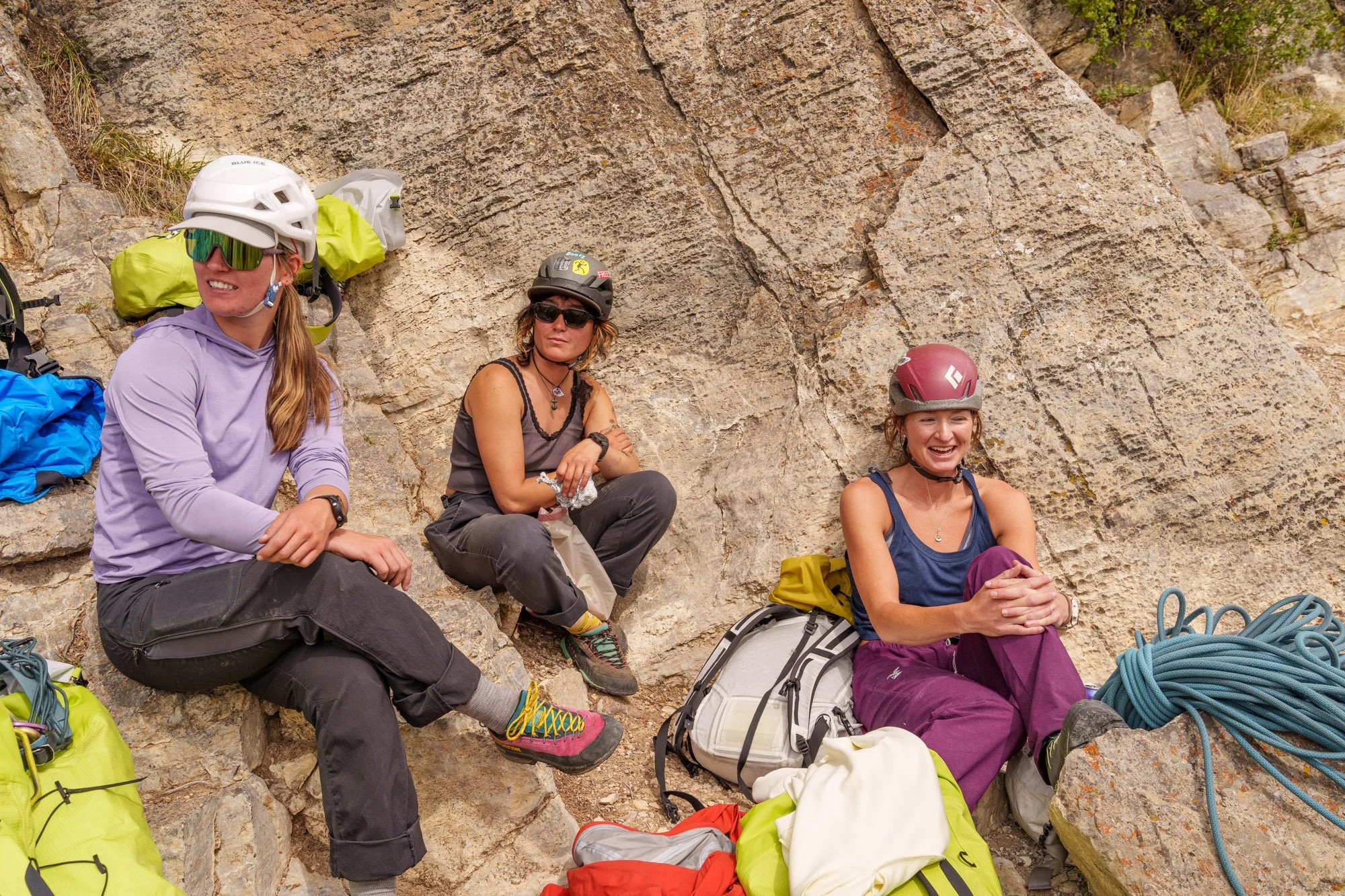
The American Alpine Club's Mentorship Program—Alpine Track kicked off its first field module in Grand Teton National Park, bringing eight emerging alpine climbers together with coaches Sam Hennessey and Anne Gilbert Chase for eight days of climbing, technical training, and mentorship in the mountains surrounding Jackson, Wyoming.

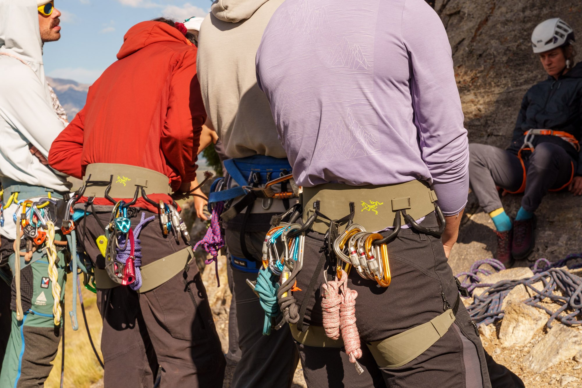
Made possible through the support of Arc’teryx and Sterling, as well The Mountain Guides for this first module, the program is provided at no cost to participants, giving AAC members the opportunity to develop advanced alpine skills through hands-on instruction, mentorship, and field experience.

“Everyone is bringing a unique perspective to the table,” said Maia Crichlow, a member of the women’s team. “And getting to actualize dreams—really put words to what I want to do and see it reflected in other people around me—has been so special.”

Image by Fredrik Marmsater.

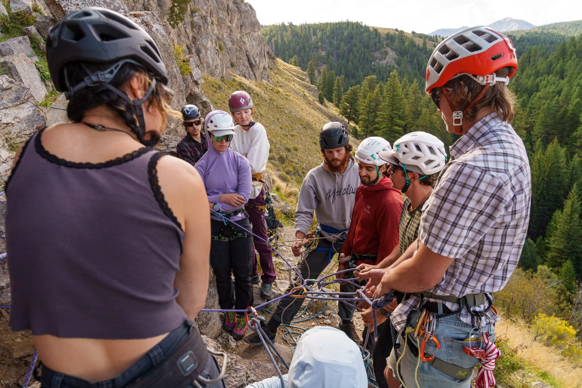
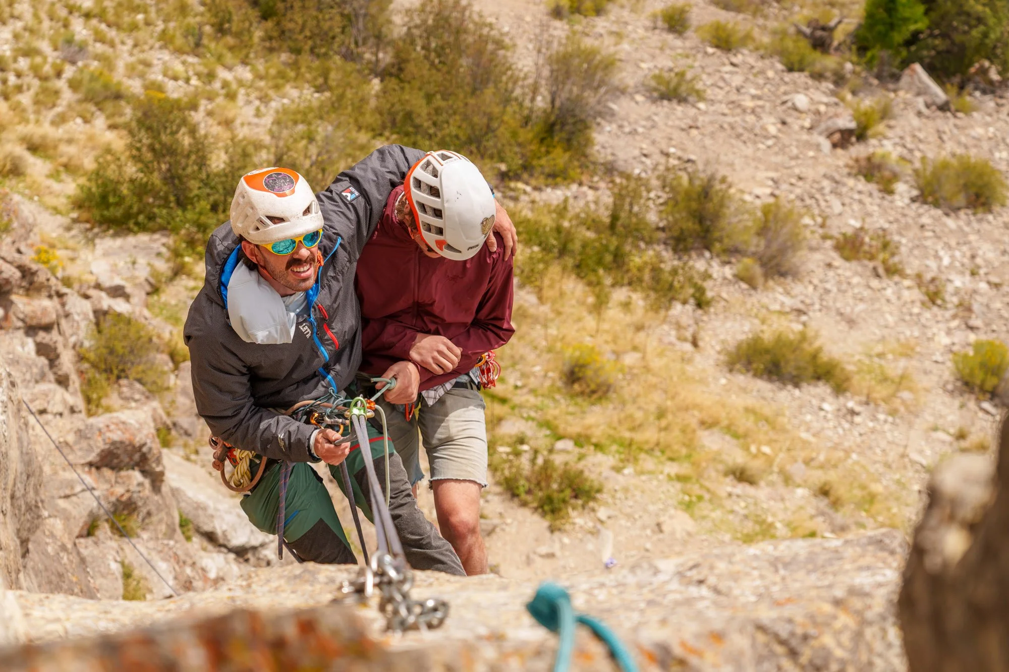
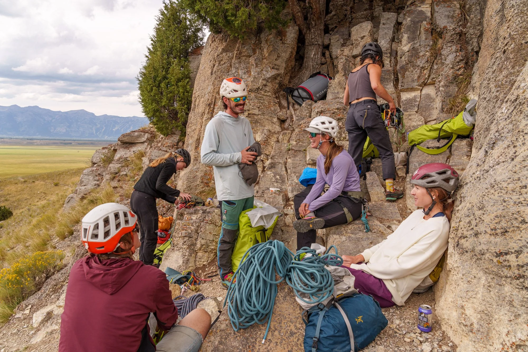
In this inaugural module, participants focused on building a foundation in multipitch climbing, including gear placement, anchor systems, and descent techniques. They also practiced rock rescue on single- and multipitch routes and learned how to plan for overnight climbing.


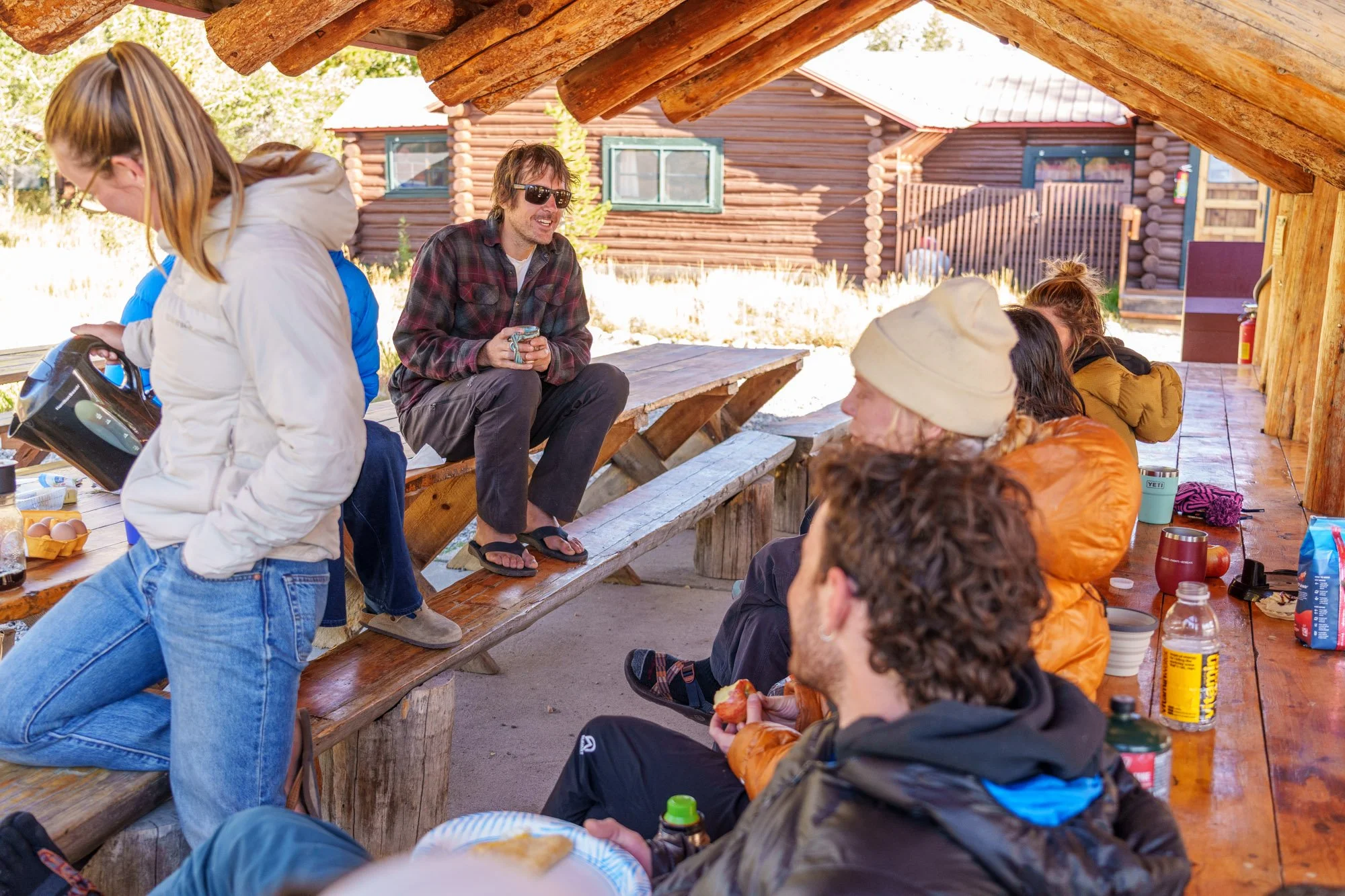
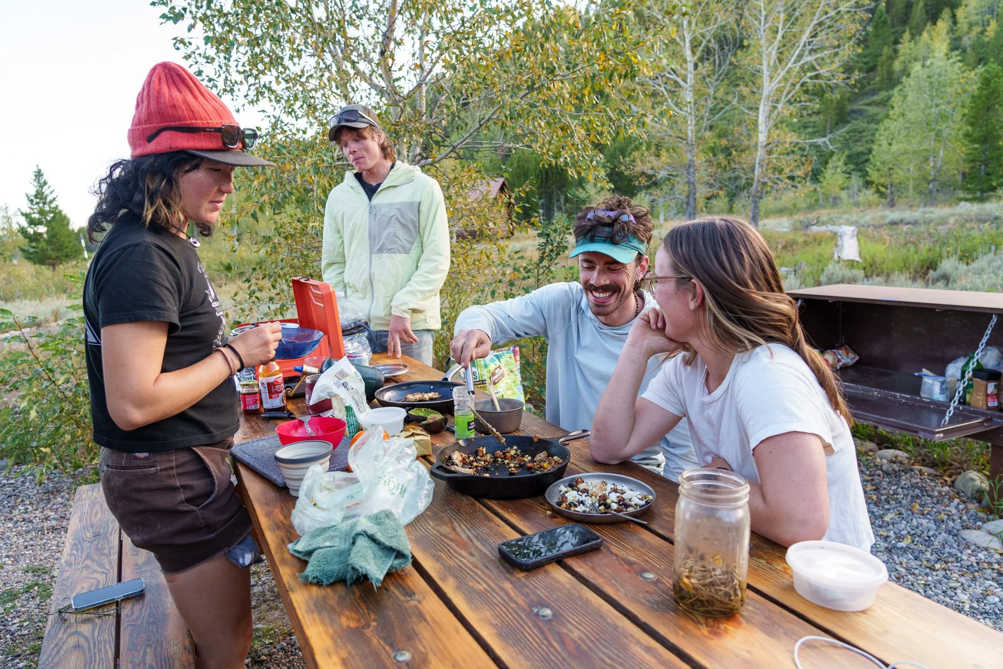
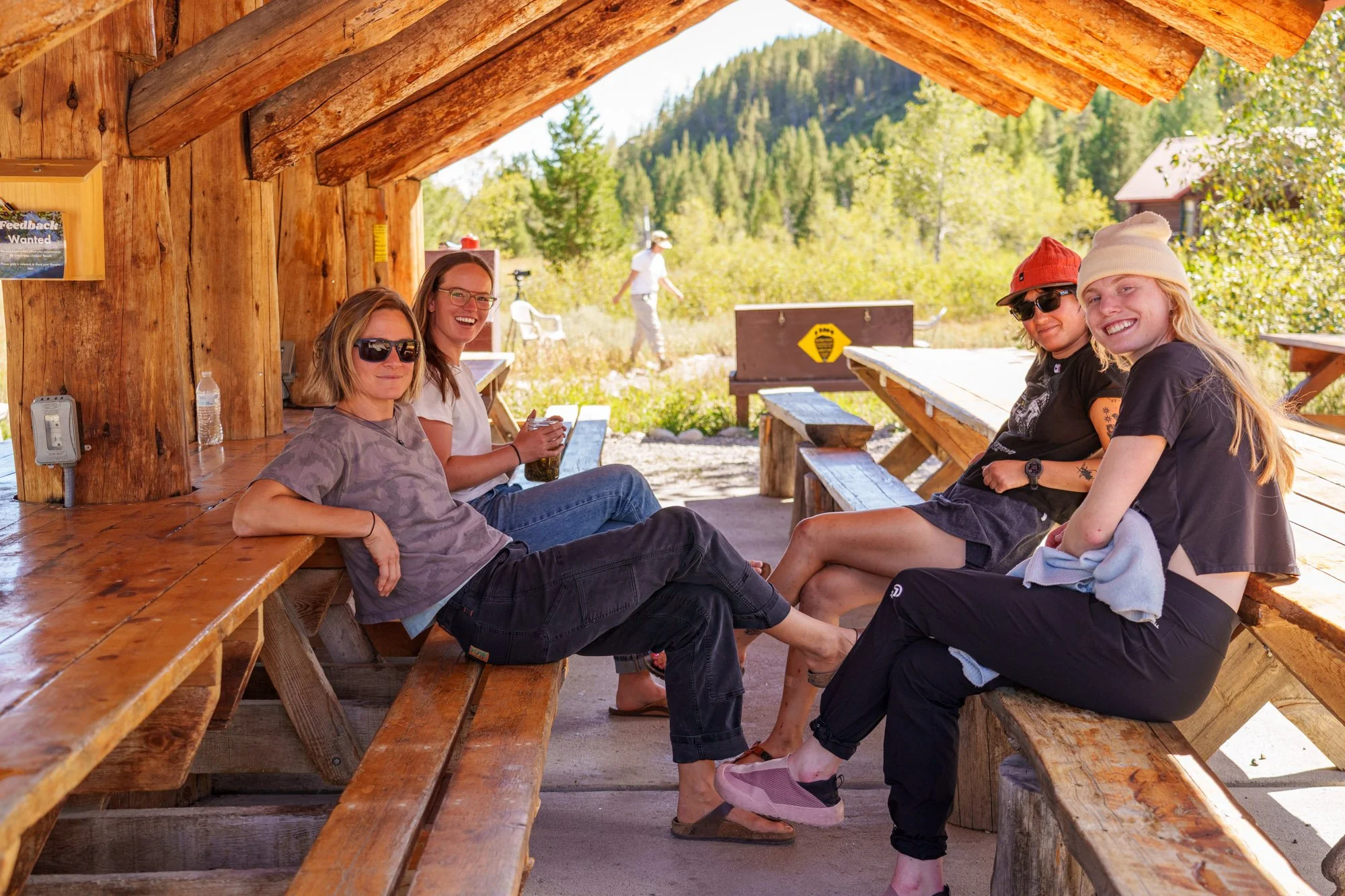
Alongside technical training, coaches Hennessey and Chase spent significant time building trust and camaraderie with mentees off the wall at the AAC’s Grand Teton Climbers’ Ranch. After all, an important element of alpine climbing is sharing a meal, reviewing a map, or swapping stories at camp.

“Mentorship is so much of the motivation behind why I climb. I find it really energizing,” said Suraj Kushwaha, a member of the men’s team.

With the first module complete, all eight mentees will return for the program’s second field module in December. The group will travel to Bozeman, Montana, and Cody, Wyoming, to put their developing skills into practice on some of the nation’s best ice climbing terrain.

The Alpine Track is designed as a yearlong progression, with four in-person field modules complemented by opportunities to learn from coaches. Through practical coaching, teamwork, and technical field programs, participants are developing the skills and experience needed to plan and execute technical climbs and trips in alpine environments.

The mentorship program is open to AAC members. Through the generous support of its sponsors, the AAC does not charge a fee for participation in the program, and is able to cover participant lodging during all field modules. Learn more about the AAC’s mentorship program and meet the full team of mentees here.
The AAC Mentorship Program is presented by Arc’teryx, supported by Sterling, and The Mountain Guides supported the Jackson module:


The Line—The Canadian Rockies Choss Gobbler

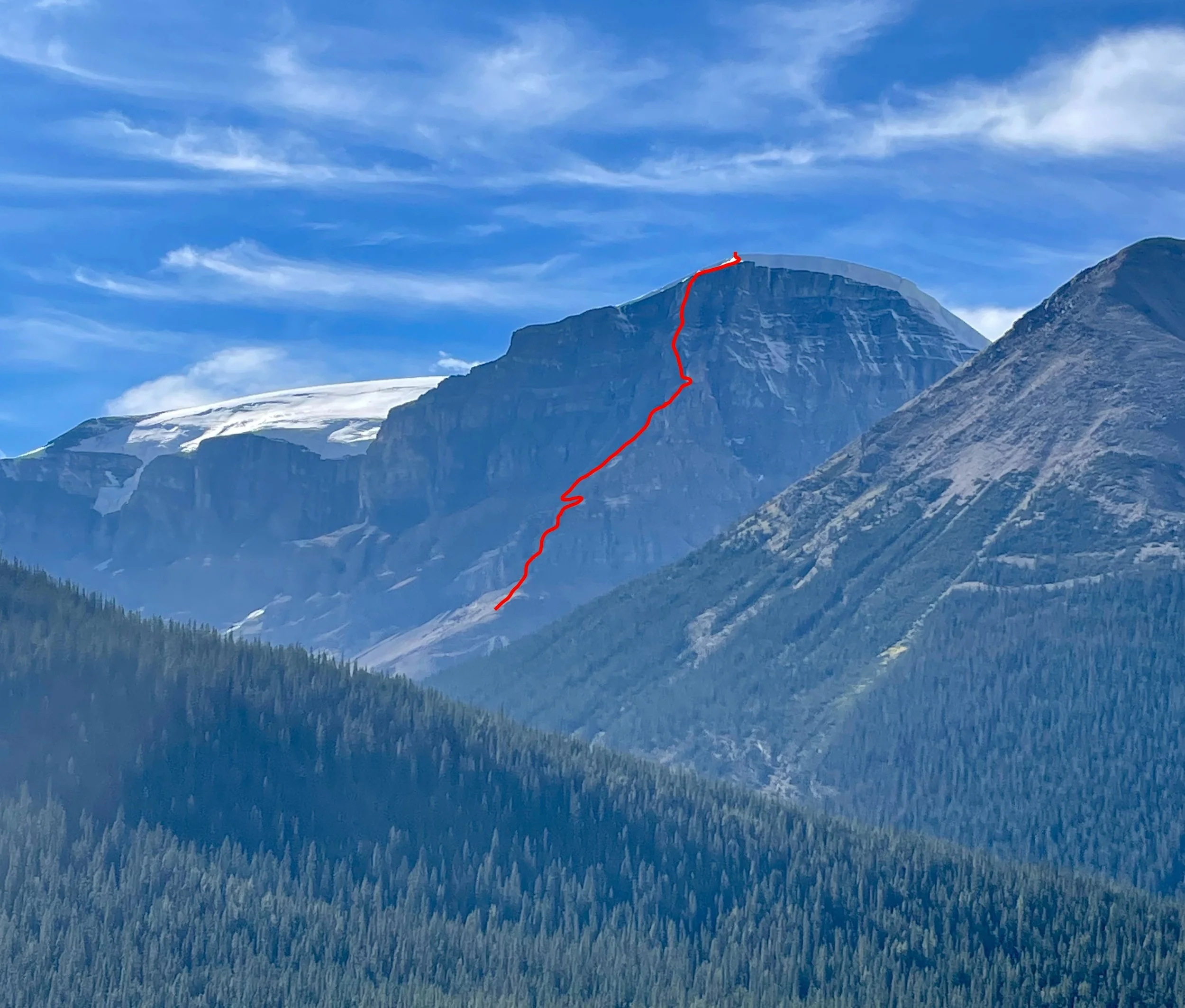
The line of No Fiesta, No Siesta (1,200m, TD- 5.8) on the east ridge of Stutfield Peak East. Photo: Nick Baggaley Collection.

Exploring Canada’s Rockies Chossies

Nick Baggaley scrambling up to the east ridge of Stutfield Peak East during the first ascent of No Fiesta, No Siesta (1,200m, TD- 5.8). Photo by Greg Barrett.

Greg Barrett, a 38-year-old software developer and aspirant alpine guide from Canmore, Alberta, is among the most active climbers currently operating in the Canadian Rockies. Four reports in the upcoming 2026 AAJ cover first ascents on which Barrett was a key player. Barrett and partners keep finding new lines on familiar faces, as well as striking ridges and faces that have never been touched. Almost all of them require a tolerance for—even an appreciation of—the dreaded Canadian Rockies choss. Here, we’re sharing a report that arrived too late for the 2026 edition: Nick Baggaley’s story of the first ascent—with Greg Barrett—of a huge, previously unclimbed, and very chossy ridge on a Rockies 11,000er, where the modest grade of 5.8 only tells part of the story.

Stutfield Peak East, East Ridge, No Fiesta, No Siesta

In the late summer of 2025, after a ton of rain, there were a couple of short weather windows for bigger objectives in the high peaks of the Canadian Rockies. Greg Barrett and I seized the opportunity to get on a route I’d been eyeing for quite some time. The long east ridge of Stutfield Peak East (3,422m/11,227’, a.k.a. Stutfield Northeast) was, as far as I could tell, unclimbed. We didn’t know what to expect but figured that with my alpine guide training over the summer, and with Greg’s recent hot streak of ascents, we’d be able to get the route done in a push. 

Greg Barrett crawling along a ledge to reach the final tower before the summit of Stutfield Peak East. Photo by Nick Baggaley.

On September 2, we got a late start from Canmore, only to have my Ford Fiesta break down just after passing Banff, with several more hours of driving to go. This delay meant that we only shouldered our packs at the prime alpine-start time of 6:30 p.m. 

A three-hour approach up the Stutfield Creek drainage took us to a bivy on the silty bank of an alpine tarn below the ridge. Having forgotten my sleeping pad, I proceeded to snatch a couple of fitful hours of sleep as Greg happily snoozed away beside me. We got a leisurely start at 7 a.m., under an unexpected and unwelcome pall of wildfire smoke.

The ridge started easily enough, with scree and talus hiking turning into fourth- and low-fifth-class rock on the first step. We soloed up several hundred meters before roping up at the base of the second rock step, and then, after about 40 meters of 5.8 climbing, unroped once more.

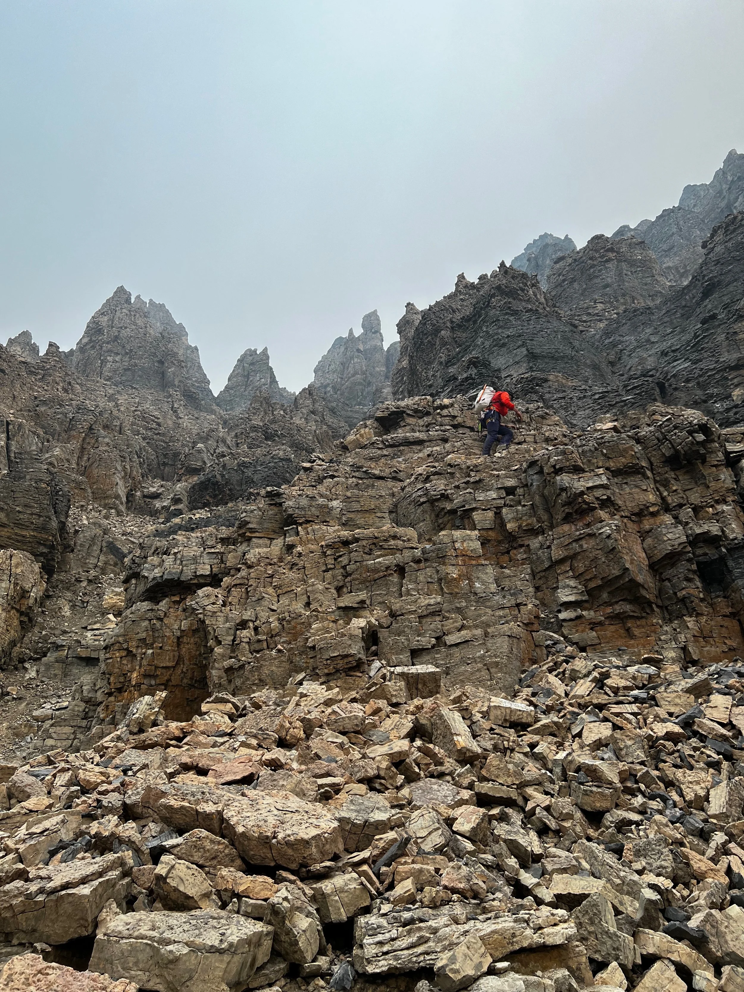
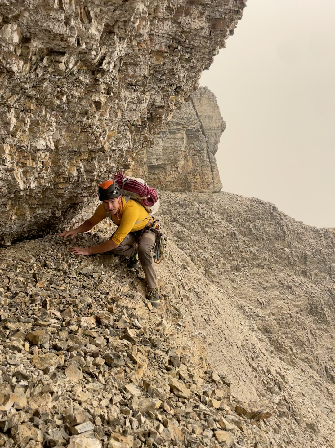
The imposing towers looming out of the smoke above the next step on the ridge prompted us to search for an easier route, and we traversed several hundred meters south along a scree bench before soloing more fourth-class terrain to regain the ridge crest in the middle of the towers. Challenging route-finding eventually forced us back down on the south side, where we found a chimney that took us around the final tower. From here, we found a ledge across which we crawled to the base of the summit headwall.

Nick Baggaley scrambling to the base of the final tower on the east ridge of Stutfield Peak East. Photo by Greg Barrett.

More soloing of low- to mid-fifth-class rock, with increasing exposure and steadily terrible rock quality, took us along a rib on the left side of the headwall and up to the last rock band below the summit cornice. Here, we climbed two pitches of loose 5.8 to a rock bench, then climbed through easy snow to bypass the cornice, gain the glacier, and continue to the summit.

We named the route after my late car and my lack of sleeping pad: No Fiesta, No Siesta (1,200m, TD- 5.8). Overall, we would not recommend it to anyone except the most committed choss aficionados, as the poor to terrible rock quality makes protection difficult for most of the ridge. We chose to solo all but three pitches, but would probably recommend that other parties rope up for more.

—Nick Baggaley, Canada 


Confessions of a Choss Gobbler

Yet another Greg Barrett new route is Confessions of a Choss Gobbler (440m, 5.11- A0), the first ascent of the northwest headwall of Castle Mountain, climbed with Gavin McNamara in July 2025. We asked Barrett what he loves about routes like this and for his words of wisdom on climbing Rockies choss.

Q. Climbers have been exploring the Rockies for more than 125 years. Why aren’t these mountains climbed out?

Greg Barrett leading the intimidating pitch-five crux of Iron Tears (465m, TD- 5.11-), above an old fixed anchor from a winter attempt. Photo by Gabs Clark.

Many of the accessible and obvious routes in the Rockies were plucked long ago. But if you stay curious, read between the lines, and look farther afield, many treasures remain. The required commitment and willingness to be scared keep new alpine rock lines available for those who seek them.

Rockies alpine choss is an acquired taste, like bitter black coffee or peaty scotch. Very few people like their first sip, and many people never learn to enjoy it at all. But for the few of us who grow addicted to it, we can’t live without it. I savor the puzzle and the challenge of methodically working through loose, steep, untouched terrain. Long, scary days are taxing in the moment, but they create memories that last a lifetime.

I sometimes yearn for an earlier era when obvious untouched lines abounded. But I don’t know that I would have had the boldness to push those lines with the gear and tactics of those times. Perhaps the present is perfect for me.

Q. What’s your favorite among the new routes you’ve done in the past few years?

Greg Barrett following the beautiful corner on pitch four (5.10+) of Iron Tears, at the Rimwall. Photo by Gabs Clark.

You’re asking me to pick a favorite child. But perhaps I can choose the one I find most recommendable, which is Iron Tears, on the Rimwall, which I climbed last August with Gabs Clark.

One of my favorite parts of that line was the spontaneity and relative commitment. We were planning to repeat an existing route, but during the approach, a striking corner alongside a rusty-red waterfall caught Gabs’s eye, and we decided to explore it instead. With no drill and only a vague plan, we journeyed upward, knowing retreat could be involved and expensive. In the end, we topped out a magical line and were back home before sunset.

Q. What are the secrets to climbing choss (more or less) safely?

First and foremost, stay within your physical ability. With few exceptions, I’m not out on the sharp end pumped out of my mind and facing a bad fall. If I’m not feeling solid on terrain, I’m downclimbing until I can either find a controlled version of the sequence or protect myself well enough that I’m comfortable taking the whip. The ability to maintain composure and control at 5.10 and 5.11 does more for you in the Rockies alpine than being able to power-scream through 5.13.

Mileage is a huge piece of this. On Yamnuska, the big limestone cliff near Canmore, we have a collection of routes from the first published guidebook called “The Kallen 34.” Some are now classics, some are testpieces, and some are obscure, runout choss. I completed the list last summer, and the climber I became by the last pitch of the 34 bears little resemblance to the climber who started that list. This sort of training pays dividends when you get properly “out there.”

It’s also important to fight for protection. Sometimes it’s easier to just keep climbing, but when things are serious, I’ll take the time to sneak in a knifeblade or clear choss out of a slot with my hammer and wiggle in a cam. It’s a numbers game, and you’re going to fall eventually. If you don’t place the gear, it definitely won’t hold.

I do think it’s important to be honest with yourself about the hazards. I’ve met climbers who seem to manage fear by telling themselves they’re infallible. You can get far with this approach, but, ultimately, hope isn’t a strategy. I think it’s healthier and safer to fully acknowledge the hazards you will face, manage them as best you can, and make an honest decision about whether the remaining risks outweigh the rewards.


Cutting Edge Podcast: Le Bombé Bleu

On February 11, Erwan Legrand—son of the legendary French climber François Legrand—took down one of the longest-standing open sport projects in the world: Le Bombé Bleu (5.15b) at Buoux, France. Bolted in 1991 by Marc Le Menestrel, the 100-foot route features a notoriously difficult precision dyno on its blue-streaked bulge, followed by ferocious tugging on tiny pockets. Famously, Le Menestrel had opened the route as long as it was left in its natural state, a vision—35 years ago—of what climbing might someday become. Join host Jim Aikman as he talks with Legrand about his remarkable barefoot redpoint, as well as chats with UK icon Ben Moon—one of the route’s early suitors—and American Climbing Journal Editor Matt Samet.


Sign Up for AAC Emails

The Line—First Female Ascent of Spirit Quest (5.14d), Squamish

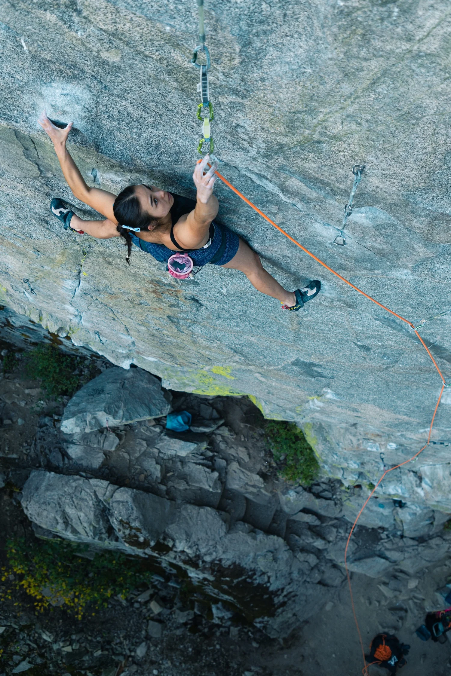
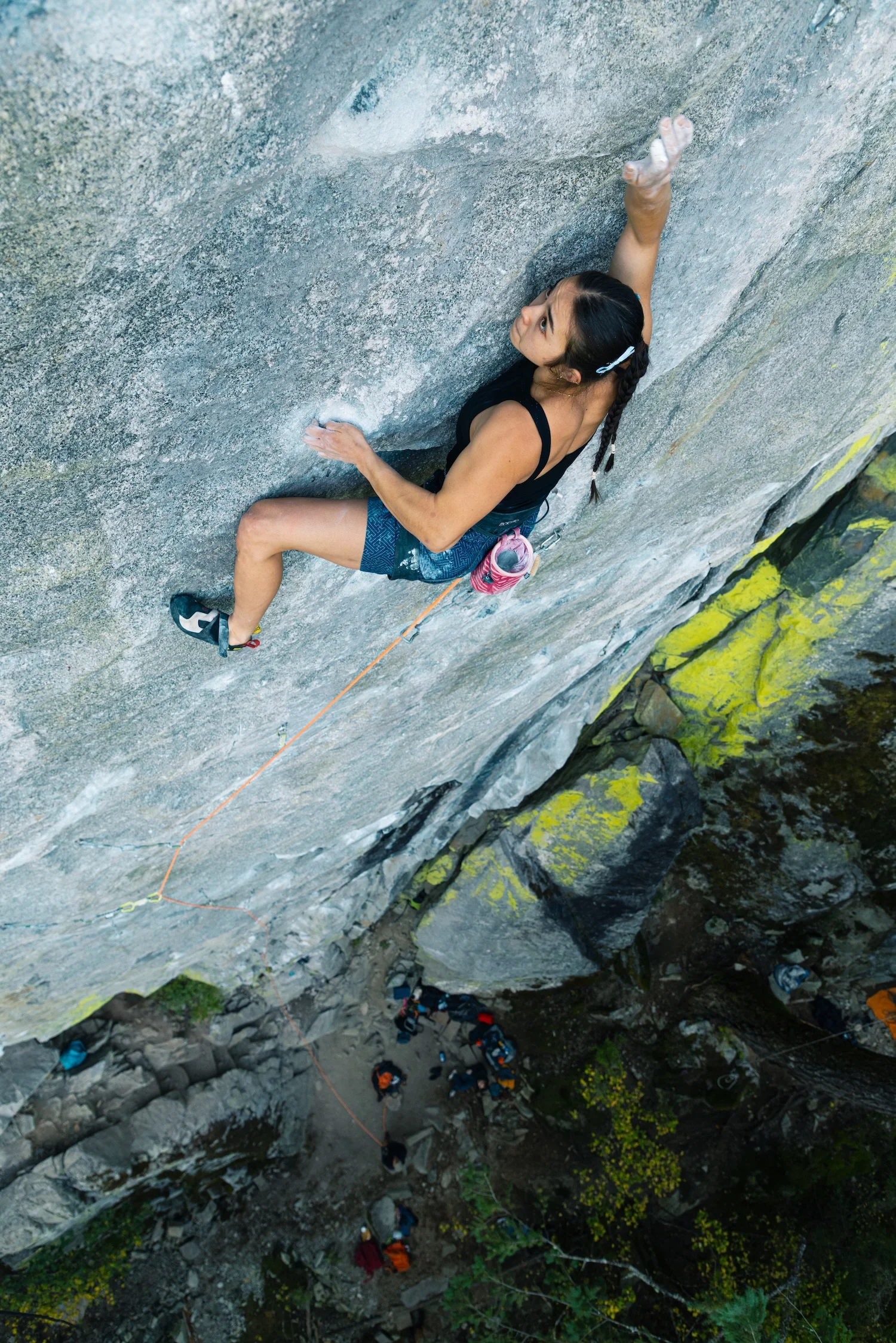
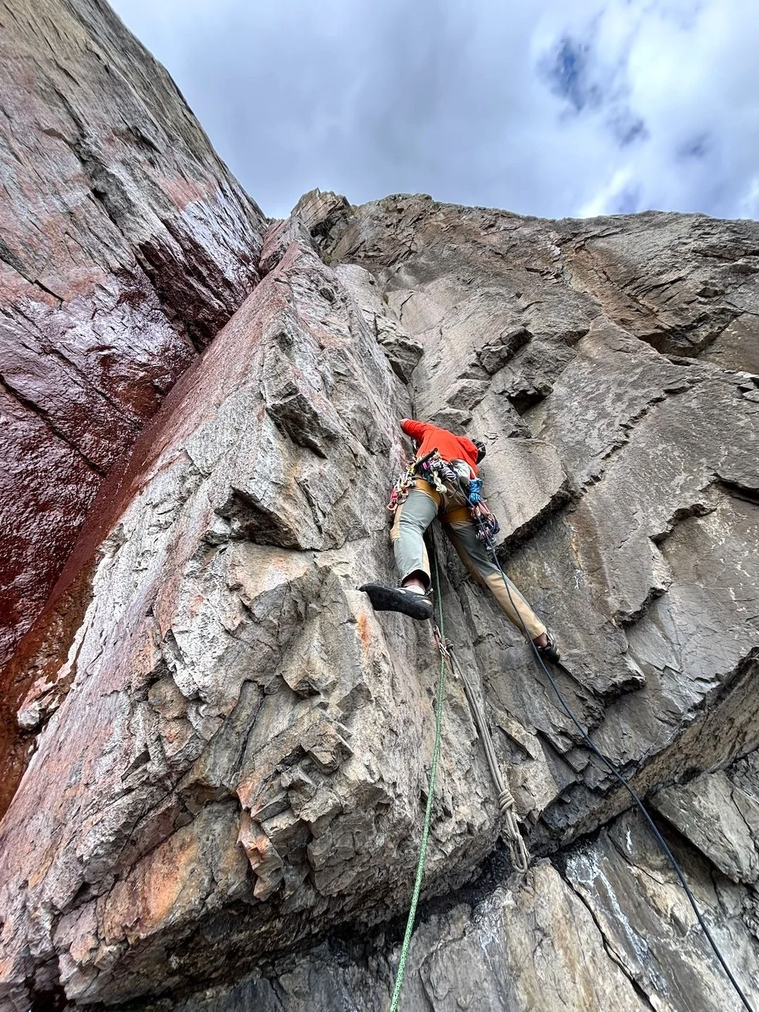
Quinn Mason eyeing down the seventh draw early on in the hard climbing of Spirit Quest (5.14d), Paradise Wall, Squamish, British Columbia. Mason made the route’s first female ascent on October 9, 2025. Photo: Don Mason

Paradise Wall is one of the many gems at Squamish, British Columbia, a granite mega-destination known for its breadth: everything from classic moderates, to cutting-edge single-pitch trad like Drifter’s Escape (proposed 5.15a: FFA: Connor Herson, 2025) and Cobra Crack (5.14b; FFA: Sonnie Trotter, 2006), to endless bouldering, to technical sport. The wild traverse of Dreamcatcher (5.14d) on the Cacodemon Boulder, freed by Chris Sharma in 2005, might be Squamish’s most iconic hard sport climb. But the 5.14d face climb Spirit Quest (2021: FFA by Mike Foley) at Paradise Wall has garnered recent attention, too.

Spirit Quest offers a direct start to Tom Wright’s 2015 classic Spirit of the West (5.14a). “Interestingly. [Spirit of the West] was the first route I ever bolted. And in all of the 35 meters, only one small piece of rock broke off during cleaning. I was thinking, Man, putting up routes is a piece of cake!” says Wright. “It’s an immaculate piece of stone, and I think it’s important to point out that all the routes on that wall are fully natural, including Spirit Quest and Midnight Way—which I think is rare at that level.” (Midnight Way is a 5.15a that breaks left off Spirit Quest, put up by Connor Herson in 2024.)

In autumn 2025, Quinn Mason (@quinn.midori), who contributed both the story below as well as imagery of Hamish McArthur’s bouldering tear through Colorado in 2025 to the inaugural American Climbing Journal, made the route’s first female ascent. The redpoint process, though initially intimidating, ended up being meditative and joyful—a chance for Mason to connect with a beautiful climb in a serene setting amidst friends. May your summer (and fall) projects give you such meaning as well!

—Matt Samet, Editor, American Climbing Journal


First Female Ascent of Spirit Quest (5.14d)

Dan Beland on the classic Spirit of the West (5.14a), Paradise Wall; Spirit Quest takes a direct start to this line, upping the difficulty significantly. Photo: Sonnie Trotter

Spirit Quest (9a/5.14d) snakes up the middle of the sheer, breathtaking Paradise Wall in Paradise Valley, Squamish, BC. The first routes went up on this crag in 2015, making it a relatively new addition to Squamish sport climbing. Paradise Wall is stacked with stellar, all-natural climbing, with about one route per grade from 8a+/5.13c to 9a+/5.15a.

Squamish local Tom Wright bolted Spirit Quest as a direct start to Spirit of the West, a classic 30-meter 5.14a he freed in autumn 2015. After Wright opened up Spirit Quest to the community, it saw its first ascent in 2021 by the talented Mike Foley. Until then, Dreamcatcher had been Squamish’s premier hard sport climb. While Dreamcatcher famously demands bouldery, gymnastic climbing, Spirit Quest stands in contrast, asking for head-to-toe tension and technique combined with powerful closed-hand crimping for 30–40 consecutive moves through its cruxy middle section, with an equal number or more of foot sequences.

I climbed Spirit Quest on October 9, 2025, making its first female ascent after 14 days of effort.

An overview of Paradise Wall, Paradise Valley, Squamish, B.C. Spirit Quest (5.14d) makes its way right up the middle of the wall. Photo: Sonnie Trotter

When I first walked up to Paradise Wall in summer 2023, I was blown away by its aura—in particular by Spirit Quest, the obvious king line following crisp, crystalline fractures up the slightly overhanging, monolithic panel. I waited awhile to try the climb—I didn’t know if I was ready and feared what my first attempt might unveil. What became more apparent during the process, however, is that if you perpetually wait to “feel” ready, that feeling might never come. It became a balance of embracing uncertainty and allowing for doubt while simultaneously fostering the deep belief that I could and would complete the route.     

I fell in love with Spirit Quest’s intricate, dancelike sequences, in which the hand and foot movements played against each other in perfect harmony. The route tempts you with the opportunity to crimp with all of your might, but with over 35 meters of climbing, it also insists you learn to relax into tenuous positions and find harmony with the rock. 

Tackling one of the most infamous moves on Paradise Wall—and the culprit of many a large fall. The move revolves around a left-hand sidepull undercling, settling into an uncomfortable box, and creeping across to a right-hand slimper you could seemingly spend all day readjusting on. Photo: Don Mason

There’s a move shortly after the seventh quickdraw that required me to lock a right-hand edge to my shoulder and pull over an unlikely-feeling left foot to reach a left-hand undercling at full extension. From there, walking my feet through and then bringing the undercling to my waist was one of the most challenging sequences—it not only required the most physicality but was also a barrier to reaching the more sustained climbing above, where I knew the real battle would begin. Two weeks prior to sending, I linked from the fifth quickdraw to the chains, climbing all the difficult sections. This encounter left me grappling with the contrived nature of climbing, and I lost patience and respect for the projecting process. In the following two weeks, I spent time sitting with my thoughts, eventually gaining the equilibrium needed to clip the chain. 

That day, wind moved through the trees of Paradise Valley, a welcome occurrence both for me and the community of climbers who’d spent many a summer morning here. Spirit Quest was my first true project, requiring at least 10 more days of effort than anything I’d done before. Those additional days represented many hours of rehearsing moves in my head, stressing over weather, trusting what was in my hands, and making peace with what wasn’t. I am grateful to have shared the experience of working the route and eventually sending it with so many familiar faces present.
—Quinn Mason

Ascent Info: First female ascent of Spirit Quest (35 meters, 5.14d), Paradise Wall, Squamish, British Columbia; Quinn Mason, October 9, 2025.


Want More Bouldering and Sport Climbing? Get the American Climbing Journal

Want more thoughtful, deeply researched writing on the cutting edge of North American and international rock climbing in your mailbox? Then join the American Alpine Club at the Partner or higher level, and opt in to receive the inaugural, 224-page 2026 American Climbing Journal! With stories like Adam Ondra flashing Lexicon (E11), Katie Lamb sending The Dark Side (V16), Connor Herson’s crazy pogo on the first 5.15a trad line—ever—plus other features from or about Sasha DiGiulian, Noah Wheeler, Jonathan Siegrist, Sungsu Lee, Hamish McArthur, Mary Eden, Seb Berthe, Chris Deuto, and so many others, the 2026 ACJ offers the world’s best climbing stories about the world’s hardest and most interesting rock climbs. 


New Cutting Edge Podcast: Le Bombé Bleu

On February 11, Erwan Legrand—son of the legendary French climber François Legrand—took down one of the longest-standing open sport projects in the world: Le Bombé Bleu (5.15b) at Buoux, France. Bolted in 1991 by Marc Le Menestrel, the 100-foot route features a notoriously difficult precision dyno on its blue-streaked bulge, followed by ferocious tugging on tiny pockets. Famously, Le Menestrel had opened the route as long as it was left in its natural state, a vision—35 years ago—of what climbing might someday become. Join host Jim Aikman as he talks with Legrand about his remarkable barefoot redpoint, as well as chats with UK icon Ben Moon—one of the route’s early suitors—and American Climbing Journal Editor Matt Samet.


Sign Up for AAC Emails

The Line—Idaho’s Forgotten Granite Spires

The Bighorn Crags above Ship Island Creek in the Salmon River Mountains are a cluster of towering granite spires that would be crawling with climbers if they were a little closer to the road—or even if they were close to any significant population of climbers. In 1955, climbers—including K2 legend Pete Schoening—briefly explored the area, and a short, alluring description of the cliffs is included in Idaho: A Climbing Guide. But the first reported ascents by modern rock climbers weren’t until 2020, when a team of six made the 13.5-mile trek to the west side of Ship Island Lake and climbed 40 new pitches—with six Grade III and two Grade IV routes—in less than a week. It’s likely few climbers have been there since. Maybe Jim Pace’s story and photos in AAJ 2026 will convince a few more people to brave the steep barrier to entry. The summer is still young, so we’re sharing an abridged version of Jim’s story here.
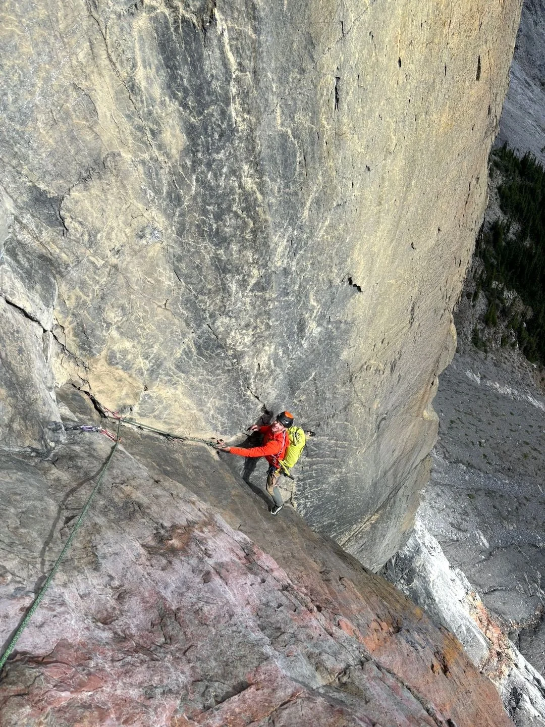
Panoramic view of the crags above both sides of Ship Island Creek, which drains Ship Island Lake at left and flows down to the Middle Fork Salmon River. Photo: Cody Goldberg

The Litner Group: Many First Ascents

For decades, Idaho climbers have imagined what it would be like to climb in the area of the Bighorn Crags surrounding Ship Island Creek, which flows steeply out of Ship Island Lake and down to the Middle Fork Salmon River. The climbs, tantalizingly hard to reach, would ascend long and steep arêtes, faces, and cracks toward summits that didn’t have names, had never been touched by climbers (unless the Sheepeater/Shoshone peoples liked steep rock climbing), and might be made of solid Idaho Batholith granite (but more likely Idaho choss).

In his excellent Idaho: A Climbing Guide, Tom Lopez writes enticingly of the area: “Of interest to rock climbers is a tangled collection of spires, faces, and cliffs at the west end of Ship Island Lake called the Litner Group. Because it is more than 10 miles from the nearest trailhead, little climbing activity has taken place in the Litner Group but, rest assured, the area has high potential for serious rock climbers.” Tom mentions a Litner Peak, but which one is that? No one is sure. The only recorded climbing our group could unearth was detailed in a 1955 expedition report by Lincoln Hales in the Seattle Mountaineers’ annual journal. Hales and Pete Schoening made the first ascent of the “main peak”—presumably the Litner Peak that Tom mentions.

Intrigued, Max Bechdel, Ian Cavanaugh, Cody Goldberg, Brady Johnston, Carolyn Pace, and I made the long trek into the Litner Group in late August 2020, with pack string support, to see what we would find.

From the trailhead—itself three hours from the small town of Challis—we hiked 12 miles and crossed two passes through the Frank Church–River of No Return Wilderness to reach Ship Island Lake. We then bushwhacked another 1.5 miles to the west end of the lake and made camp.
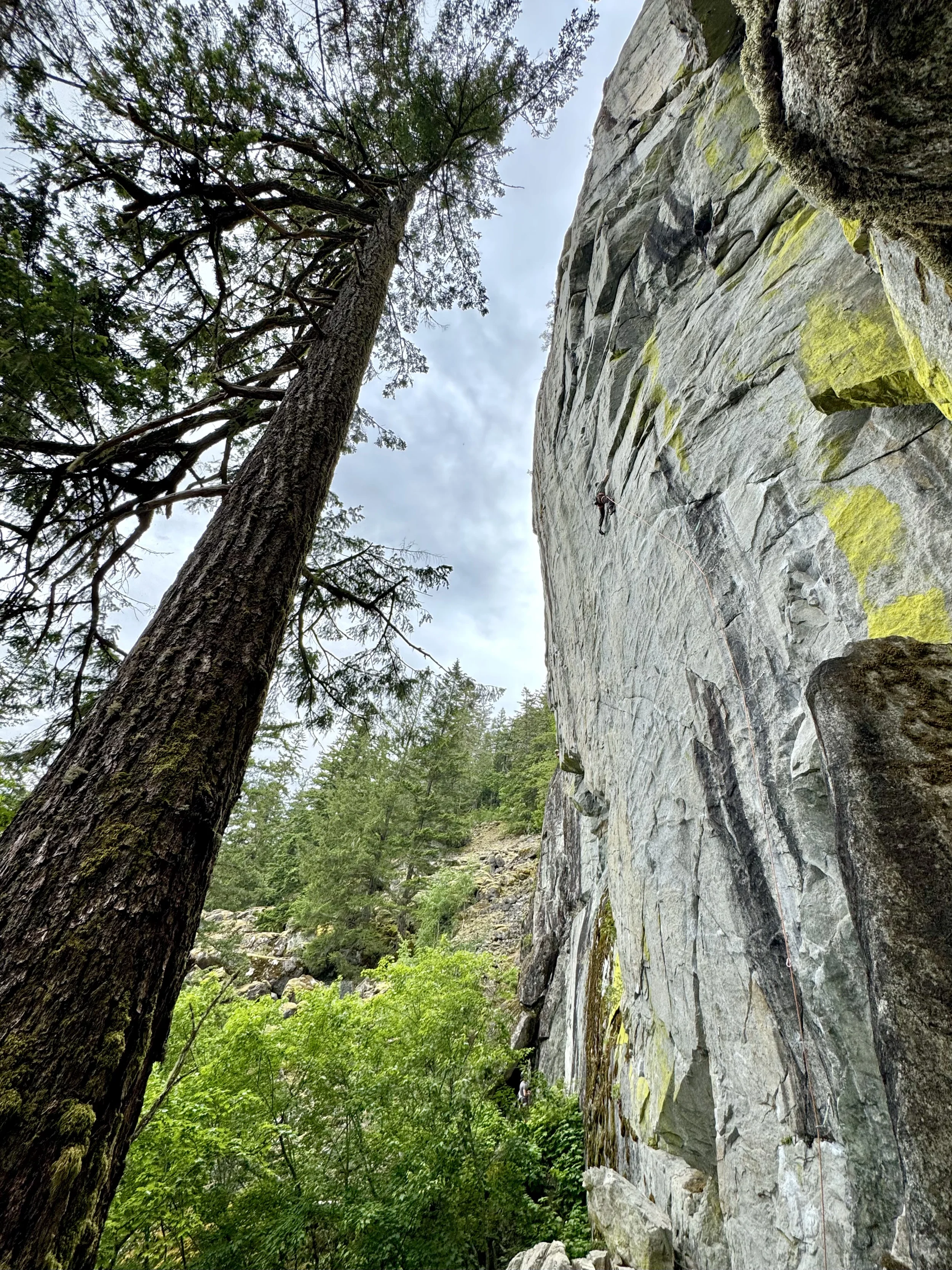
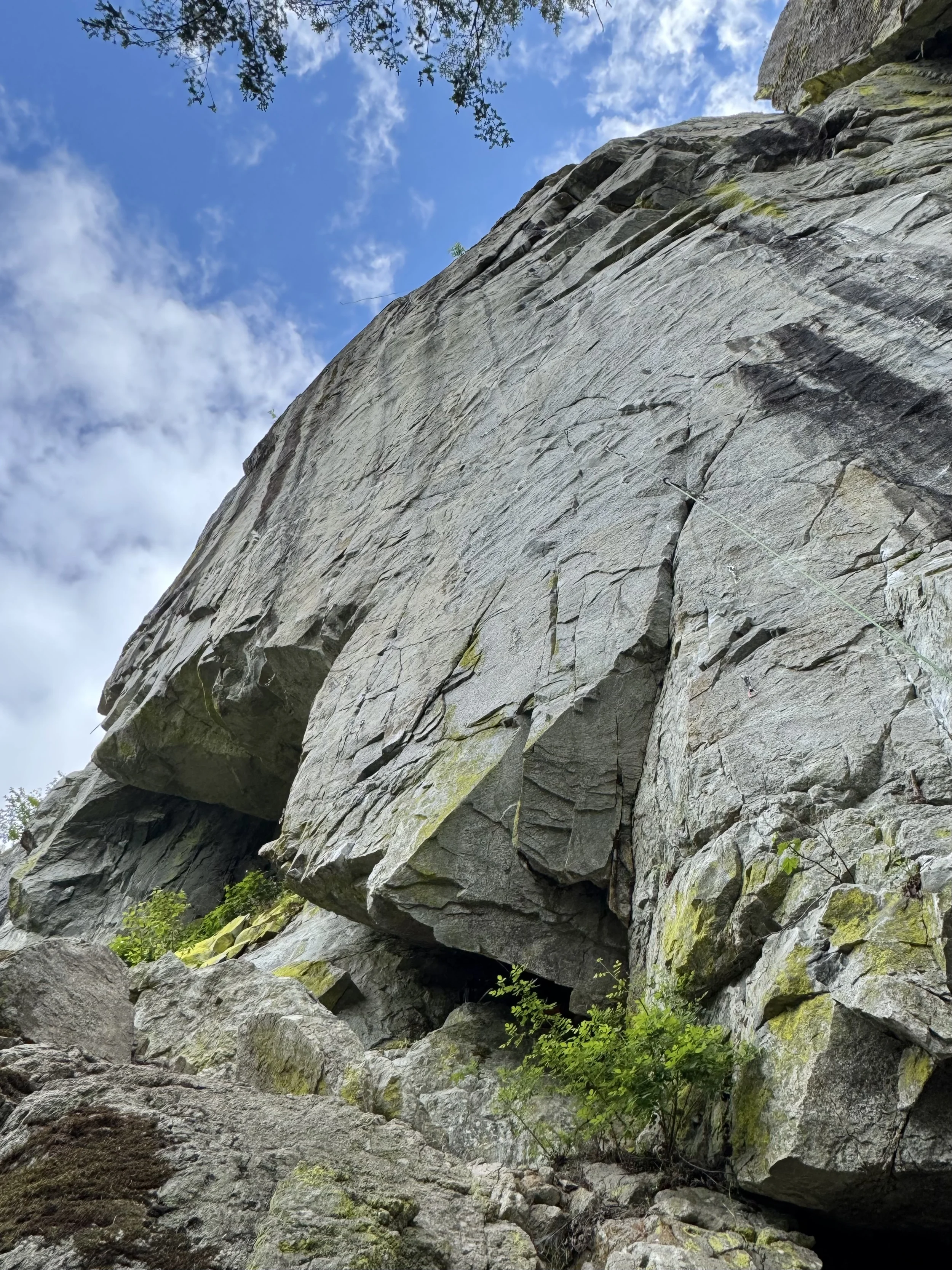
On our first climbing day, we aimed for the obvious face on a twin-spired formation we named the Rabbit Ears, right above camp. Brady and I made the first ascent of Pace Setter (850’, 7 pitches, III 5.9), while 30 meters to our left, Max and Ian opened the Jeff Halligan Memorial Route (850’, 7 pitches, III 5.10), in honor of our horse-packing guide. Both were exceptionally high quality and promised more good things to come.

That same day, Cody and Carolyn established Launch Over It (700’, 5 pitches, III 5.10+), on a formation we called the BFR (Big Fancy? Rocket) after Elon Musk’s Mars ambitions. The BFR lies halfway up the magnificent Mission to Mars massif, just northwest of the Rabbit Ears. The top two pitches of their climb have it all: great cracks, yawning exposure, breathtaking views. 

A rainy day allowed us to explore down the canyon. Jaw-dropping views to the Biggie Smalls Wall (dead vertical, 300 meters) made all of us realize just how extensive the climbing here could be. But looks are deceiving: The splitter hand jam in the spotting scope, we learned, often turned out to be a splitter offwidth, the offwidth turned out to be a chimney, and so on. Scaling took practice.

Lighthouse Tower on Wolf’s Fang Ridge: The five-pitch Idahome (5.11a) ascends near the center of the formation. Photo by Jim Pace.

After a cold night that brought snow above camp, Brady, Ian, and Max traversed the lake-outlet slabs to explore a complex tower at the northwest end of the already-named Wolf’s Fang Ridge and completed the first climb to the top: Idahome (925’, 5 pitches, IV 5.11a).

Brady Johnson stemming on Siren’s Song, a 5.12 variation to the three-pitch Mermaid’s Tale (5.11b), on the Bookshelf. Photo: Ian Cavanaugh | Idahoclimbingguide.com.

Meanwhile, Cody and Carolyn established Geoffrey Chosser (650’, 5 pitches, IV 5.10+) on the Bookshelf, a soaring formation with half a dozen or so summits. Over the next two days, the group put up three more climbs on this face. The first two—Mermaid’s Tail (3 pitches, III 5.11b) and a direct variation called Siren’s Song (III 5.12)—were highlights of the trip. 

In all, with just four climbing days, our group climbed six Grade III and two Grade IV routes—with a couple of other shorter routes—on mostly great granite. Most of those pitches were 50 to 65 meters and ranged from 5.6 to 5.12. We summited on just three routes, but all the other lines could be continued to their respective summits to create Grade IV or Grade V climbs. —Jim Pace

Pace’s full story will be in AAJ 2026, coming this fall, and an extended version will be published at the AAJ website, along with photos and topos of many climbs. In the meantime, climbers can see his earlier article, on which this story was based, at Idahoclimbingguide.com. 


Have You Climbed At Ship Island Creek? Submit a story to the AAJ.

Many Idaho climbers are taciturn and even secretive about their routes, and it’s certainly possible that more climbs have been completed in the Litner Group but never published. If you’ve explored climbs in this area and you’re interested in sharing info, the AAJ would love to help. Contact us at [email protected].


New Cutting Edge Podcast: 24 Hours on the Central Tower of Paine

The east face of the Central Tower in Chile's Torres del Paine is one of the great walls of the world. Recently, Belgian Siebe Vanhee and American Tommy Caldwell completed the third free ascent of the South African Route in remarkable style. On their third attempt, the two climbers raced up the 1,200-meter 5.12 route in exactly 24 hours—in an area where most big-wall ascents take weeks. Host Jim Aikman interviewed both climbers, as well as American Ben Ditto, who was on the first free ascent of the South African Route back in 2009. It's an episode about risk, the ups and downs of multiple efforts on a serious objective, and a partnership that perfectly balances the strengths of two amazing climbers.


Sign Up for AAC Emails

The Line—Old School Adventure in the Alaska Range

Serious adventures in the Alaska Range aren’t just about high-end alpinism. In May 2025, AAC member Roo Streba and frequent ski partner Shawn Jordan pulled off a nine-day traverse of the range involving skiing, trekking, and packrafting—and likely the first ski descent of a 7,000-foot line. There wasn’t room in the upcoming 2026 American Alpine Journal for more than a brief mention of this adventure, so we’re sharing the full story here. 
Slogging up Mt. Crosson at the start of the nine-day traverse. Begguya (Mt. Hunter) is prominent in the back, above Kahiltna Base Camp. Photo: Roo Streba Collection

Journey Through the Denali Wilderness

Shawn Jordan and I are Tahoe-based skiers who have adventured together throughout the Sierra. The climbing and expedition history of the Alaska Range have interested both of us for much of our lives. During a visit to the north side of the range in 2023, we conceptualized a trip that would marry aspects of old-school expedition-style mountaineering with modern, lightweight gear and skiing techniques, and that we could pull off in the limited time our lives and work allowed. We flew up to Anchorage in May 2025.

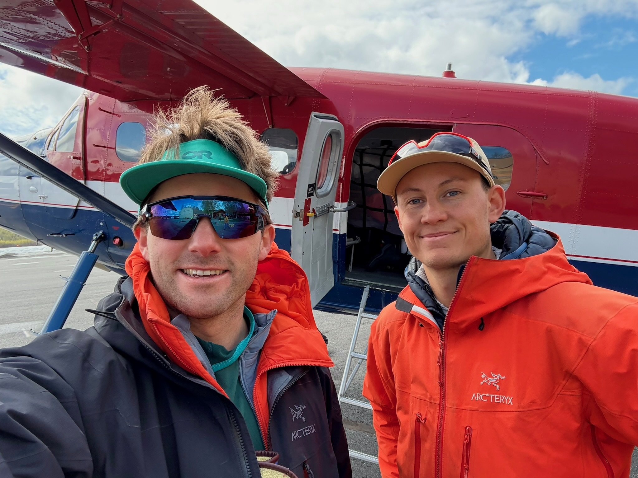
After an anxious few days of trip delays in Talkeetna, Shawn and I landed at Kahiltna Base Camp on May 13 and immediately set off across the glacier to start our ascent of the southeast ridge of Mt. Crosson, the 12,800-foot peak’s normal route. The snow conditions were reasonable, but with our heavy packs the going was a slog.

On the second night, we camped below the summit of Crosson in a cold windstorm and discussed our plan. Multiple forecasts seemed to agree—for once—and they showed a poor trend in the weather. With satellite imagery showing our chosen river of egress in the midst of a later-than-normal break-up, we concluded we would not have the time to complete Plan A: traversing to the Sultana Ridge and up Mt. Foraker, with a descent by skiing the north face and packrafting to Lake Minchumina via the Foraker River.

So, we switched to Plan B: climb over the three peaks of the Crosson group, ski down to the northwest to reach the Foraker Glacier, then ski and packraft to the bush village of Lake Minchumina. The full journey would be just under 100 miles.

Pausing on the Crosson ridgeline after an icy section of the ski traverse. Photo: Roo Streba Collection

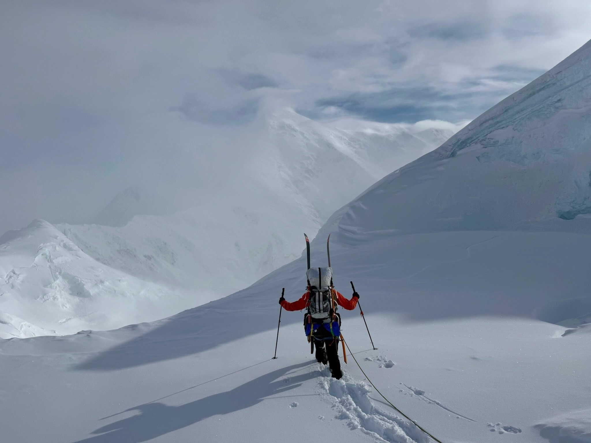
The next day, we woke to excellent weather, summited Crosson, and continued west over Peak 12,472’ (the peak that marks the start of Foraker’s Sultana Ridge) and Point 11,910’. Although summiting a peak is generally very exciting, three summits did not triple our excitement, and by the third we were very much ready for our final transition.

The skiing on the descent varied as much as skiing can. Windswept ice gave way to awkward turns in an upside-down snowpack. The steepness changed dramatically, and at one pinch point in the ridge we rappelled over some suspicious snow.

Despite less-than-glamorous skiing, the views couldn’t have been better: Foraker’s great north face to our left, the back side of Kahiltna Dome to our right, and the north side of the Alaska Range giving way to endless tundra before us. Clouds moved in and out, but somehow we managed to keep good visibility. In the gloaming, we navigated the final seracs on the ridge and made it to a pass between the Foraker and Straightaway glaciers, where we spent our third night. Park rangers later told us this was the first ski descent of the northwest ridge of the Crosson group.

Day four was a dream: We skied the remaining 2,000 feet down to the main Foraker Glacier on a spring snowpack capped with a few inches of powder, easily the best skiing of the trip. (The full descent from Point 11,910’ had been nearly 7,000 vertical feet.) For the rest of that day, we skinned and then walked to exit the Foraker Glacier, appreciating the incredible mountains surrounding us. We passed massive skiable lines on unnamed peaks that would be legendary and coveted in the Lower 48. Signs of life—an occasional bear print, a small plant, and, finally, birds—slowly started to appear as we navigated the moraine. 

The line of the ski descent off the northwest side of the Mt. Crosson group, seen from the Foraker Glacier. Photo: Roo Streba Collection

The next few days provided endless opportunities for character building. The pleasant and efficient travel of the glacier and high tundra gave way to thicker and thicker vegetation, until we found ourselves in all-out brawls with alder thickets. The alders won many of these battles, pulling skis off our packs, testing (and breaking) our patience, and severely hampering our progress, yet we persevered, and on the third afternoon of the descent, we finally found a comfortable location to launch our packrafts.

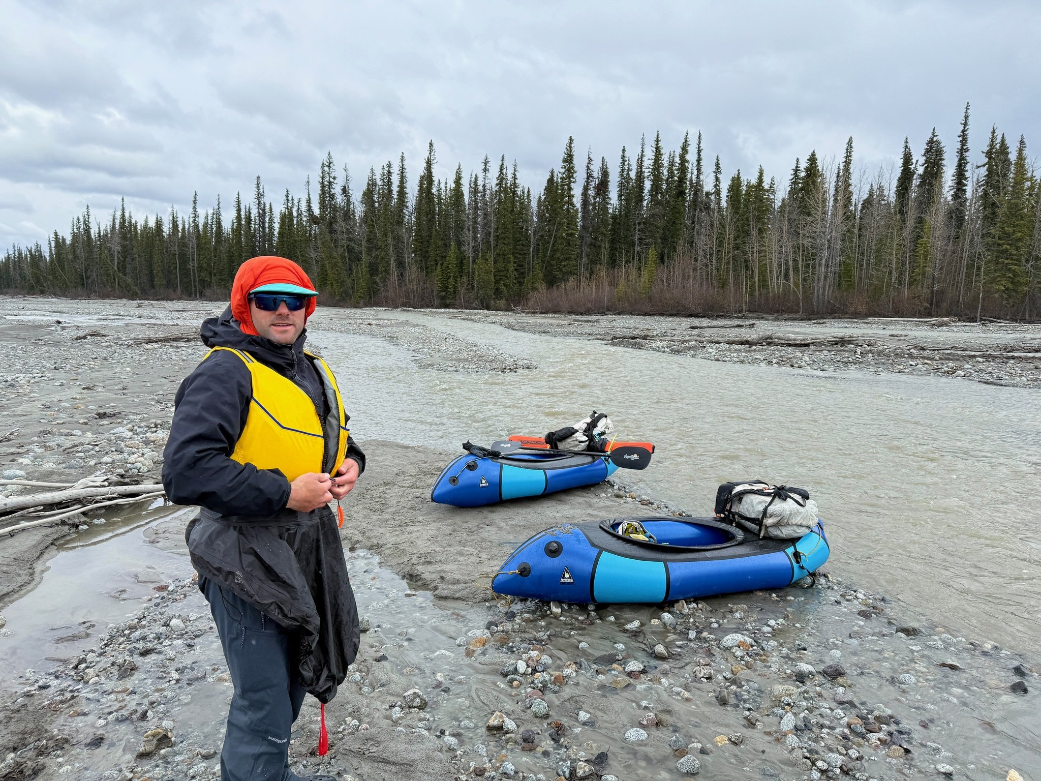
We are skiers a thousand times more than we are packrafters, and, acknowledging this weakness, we had discussed in depth our safety measures, communications, and strategy. We pushed into the fast-moving and turbid glacial river, readying ourselves for epic rafting. Ten yards down the river, my boat scraped bottom and halted. I freed myself, only to notice Shawn stuck ten yards below me. Confused, we continued down, repeatedly getting stuck and unstuck. Finally, with exasperation, we climbed out of rafts and discovered that we were able to walk across the entire river without going more than knee deep.

The following two days were wet. We found ourselves in a cycle of rafting until we hit bottom, walking our boats down the river until it was deep enough to raft again, and repeating. Despite the toil, we made good time and deeply enjoyed our surroundings. Caribou walked past our camp, birds flocked in droves, and planes rarely flew overhead.

Shawn enjoying some easy skiing off the Foraker Glacier near the end of day four of the traverse. Photo: Roo Streba

We finally reached the confluence of the Foraker River with the White River. In normal years, this confluence is of little consequence, as the White River becomes a trickle by summer. This year, due to the late thaw, the river was running at several times the flow of the Foraker, and the next several miles went by in a flash. By dinnertime, we were beyond satisfied with our progress and entirely exhausted. That night, we found enough dry sticks to make a fire and, for the first time in days, went to sleep dry.

The river flowed hard for several more miles, but as the gradient decreased, it sprawled and slowed. Prior to the trip, we had been advised that the Foraker River no longer terminates in Lake Minchumina, and only a branch still reached it. Soon we noticed the river was rising—not the water in the river, but the riverbed itself, which was now notably higher than the surrounding land. In certain sections, parts of the massive river had broken through and were spilling into the muskeg swamp. (We later learned that glacial rivers carry so much silt that, as the river’s gradient and power decrease, the silt builds up until the river eventually breaches its banks.) As we finally neared the branch allegedly heading for Lake Minchumina, the river simply terminated in mud flats. 

Shawn by the upper Foraker River, with Mt. Crosson and its neighbors in the distance. Photo: Roo Streba

We paddled to a sandbar, pulled out our backpacks, and started walking along the dried-up riverbed. In the late-twilight glow, we reminisced on the trip so far—how lucky and grateful we were to see such a wild and remote part of Alaska, to follow the high alpine into the muskeg swamps, to maintain our health and have relatively few hiccups along the way. At one point, a juvenile grizzly false-charged us, and upon realizing we weren’t giving ground, awkwardly sauntered into the brush. At another point that same evening, we both simultaneously fell into quicksand. That night, as we finally went to sleep, we could hear sled dogs howling in the distance.

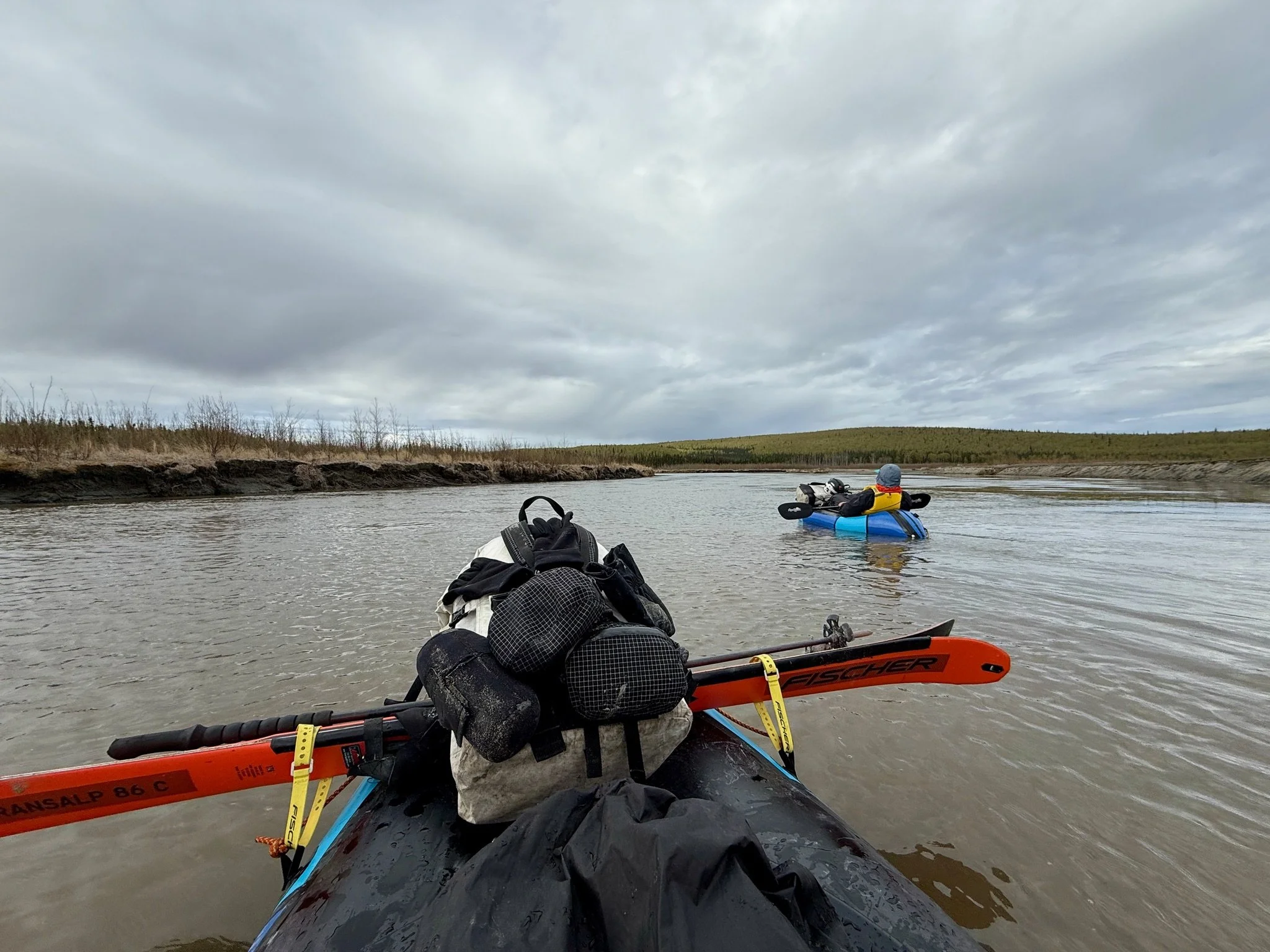
In the morning, we transitioned for the last time to our packrafts and set off down an inlet of Lake Minchumina (elevation 630 feet). After nine days alone, we were giddy at the prospect of meeting other people. After a few turns, we were greeted by a beautiful house surrounded by well-maintained grass, horses, and a dog team. We had arrived at the home of the Collins twins, Julie and Miki, two women who had spent their entire lives in the bush. They made a living by trapping and had recently started writing books and articles chronicling their adventures. They gave us a tour around their homestead and treated us to a fantastic home-cooked meal.

Roo relaxing on a mellow section of the Foraker River. Photo: Shawn Jordan

The Collins twins live across the lake from the town and airstrip. When we casually mentioned our plans to hitch a ride with the postal plane the following morning, the twins both laughed. The late ice-off meant crossing the lake might be a several-day endeavor, depending on which way the winds blew the remaining lake ice. Alarmed at the prospect of missing our plane, we cut lunch short and hurried off.

We prepared ourselves for a final massive push through the night, but at some point the winds shifted and, somewhat biblically, opened a passage between the ice floes. We thanked our lucky stars and cruised across glassy water to a delicious meal of moose stew and pumpkin pie in Lake Minchumina. We met most of the 12 year-round residents and were told we were the third group to raft the river and the first to come from the mountains. We were also told that many members of the previous groups had decided to make Lake Minchumina their home, and we certainly understood why.

The following day, we hitched a ride on the postal plane from Lake Minchumina to Fairbanks, retracing part of our nine-day, 98-mile traverse. With a bird’s-eye view, we could watch the river meander back toward those incredible mountains. The north side of the Alaska Range is wild, rugged, and alluring. It requires a lot of effort to get there, and even more to get out. For those who persist, an excess of adventure and infinite splendor are guaranteed.

—Roo Streba


Get the First Edition of the American Climbing Journal

Part of the AAC's mission is to provide climbers with resources that enhance climbing knowledge and inspiration. Our world-renowned American Alpine Journal and The Line newsletter are critical pieces of delivering on that mission. For 97 years, we’ve documented the cutting edge of alpine climbing in the AAJ, and it’s been high time the AAC has done the same for bouldering and sport climbing. The ACJ also covers single-pitch trad climbing, performance big-wall ascents, profiles on new areas, and major local ascents from across the world.

If you’re an AAC Partner level or above, you’ll receive the ACJ with your normal publications preferences. Not a member?

Join the Club by July 1 to ensure you get this year’s copy!


The AAC Podcast—Introducing the American Climbing Journal, with Editor Matt Samet

Matt Samet is a climbing lifer, and as a writer and editor in the climbing industry for 25+ years, he’s left his mark on climbing media. The AAC hired him to create our newest publication, the American Climbing Journal, a journal of record for the most significant rock climbs each year.

In the latest episode of the AAC Podcast, we sit down with Matt to chat about the behind-the-scenes secrets of creating this new book, why it matters to have a “yearbook” of climbing when we have the internet, and other nerding out about hard rock climbing. Listen to the episode to learn more about the ACJ! 


Cutting Edge Podcast—Two New Episodes!

Since the last edition of The Line, two new episodes of the Cutting Edge podcast have launched, covering stories from the high peaks of the Himalaya to the boulders of Yosemite Valley. First, French super-alpinist Benjamin Védrines sat still for a minute to share the story of one of last fall’s alpine highlights: the first ascent of the north face of 7,468-meter Jannu East in Nepal. Then, in the first Cutting Edge podcast for the new American Climbing Journal, Cutting Edge host Jim Aikman interviewed Katie Lamb about becoming the first woman to boulder V16.


Tuolomne Adventures with the Rooting Souls Team: A Story From the Catalyst Grant

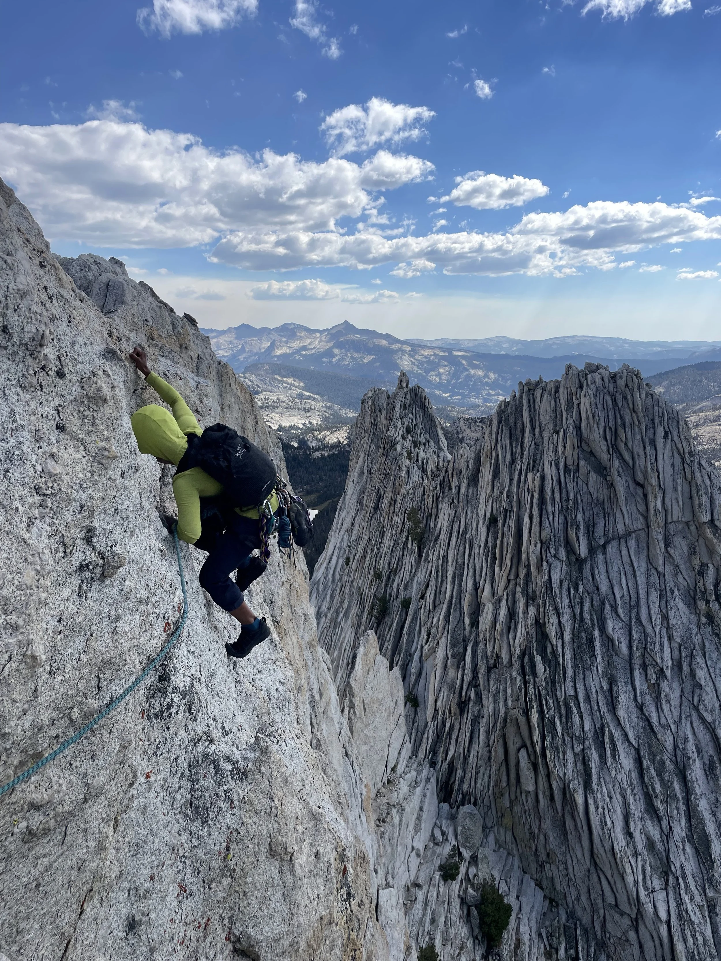
Zivia, Sof, and Rosemary on the Summit of Matthes Crest. PC: Miya Tsudome

By: Zivia Berkowitz

In August of 2021, I did a three-week backpacking trip on the Sierra High Route. Over the course of the expedition, we went up and down countless passes, and I stared in wonder at the sheer granite peaks of the Sierra Nevada. I had never led a trad climb or done any alpine climbing. On the trip, I made a promise to myself that my return to the Sierra High Country would be for a rock climbing trip. 

Sof and Zivia on the summit of Cathedral Peak. PC: Emmie Snead

My name is Zivia Berkowitz. I’m a climber and outdoor educator based in central Wyoming, and for the past two years, I’ve been working with a handful of close friends on a passion project—a documentary film called Rooting Souls. Rooting Souls is an expression of my desire, as a Black queer woman climber, to explore themes of community, connection, and sense of place through the trials and tribulations of expedition rock climbing. To achieve this goal, I am leading an expedition with Sof Petros and Rosemary Saal to climb the North Face Standard Route of Batian Peak (17,054 ft) on Mt. Kenya in September 2026, as a self-sufficient team of Black womxn climbers. 

Climbing a 22-pitch, 2,600ft technical rock route at altitude requires us to train individually but also to gain experience climbing together as a team. This August, the Rooting Souls climbing team received a Catalyst Grant from the American Alpine Club to go on a training trip in Tuolumne Meadows to sharpen our trad/alpine multi-pitch skills. I’m excited to share what we did on our training trip in the trip report below.


Day 1 (8/30/25): After 12 hours of driving from my home in Lander, WY, I finally arrived in Bishop, California, buzzing with excitement to see my friends and climbing partners for the week. We all trickled into Bishop from various parts of the country. I drove from Wyoming, Sof flew from Seattle to Sacramento to meet Rosemary, and together they drove down to Bishop. Chey flew from Denver to Vegas and then rented a car and drove the rest of the way to Bishop. 

Between the giggles and gossip that come with friends reuniting after many months, we spent the evening grocery shopping, going over final logistics and plans with Jazz and Miya (who joined to help us document this trip), and making sure we had everything we needed to drive into Tuolumne Meadows the following morning. 

Day 2 (8/31/25): We departed Bishop around 8 a.m. and drove to Tioga Lake just outside of the Yosemite National Park entrance. We set up camp at the Tioga Lake Campground, fortuitously securing a spot in the campground just as the previous campers were packing up to leave. After camp was set up, we took time to recuperate from our extended travels, basking in the sun, jumping in the lake, and filming interviews. Restored by the downtime, we drove to Puppy Dome for the afternoon. At Puppy Dome, we experimented and refined our systems for traveling in low 5th-class terrain as a team (in anticipation of the following day's objectives). We caught a beautiful sunset at Puppy Dome before heading back to camp for dinner. The rest of the evening was spent preparing for our ascent of Matthes Crest the following day.

Sof leading on Matthes Crest. PC: Zivia Berkowitz

Day 3 (9/1/25): By 5:15 a.m, wheels were rolling, and we were on our way to the Cathedral Lakes Trailhead. We met up with Miya Tsudome and Gerry Egbalic, who were going to climb the objective ahead of us and help us document our time on the Crest. By 6:30 a.m., after some minor parking lot chaos, we began the approach to Matthes Crest. Approaching Matthes requires approximately three miles of hiking on trails, followed by another three miles off-trail with 1,700 ft of elevation gain. We reached the southern terminus of Matthes Crest just after 9:30 a.m. and began racking up in anticipation of our climb. There was one party ahead of us, and once they completed the first pitch, we began climbing. We pitched out the steeper terrain until we gained the ridge of Matthes. Once on the ridge, we simul-climbed most of the way. Sof and I took turns leading in blocks. This was my first time simul climbing, it was super valuable for me to practice simul-climbing in real time since it is a technique we are planning to use on Mt. Kenya. We reached our high point of the day on the North summit of Matthes (10,923 ft) around 3 p.m. At approximately 7 p.m, nearly nine hours after we started climbing, we completed our final downclimb of the day–we scrambled down off the ridge of Matthes back to the ground in the last light of the day. The apocalyptically vibrant and smoky sunset offered us a moment of reverence and awe for the beauty and power of the natural world. Once we were all on the ground, we took a beat to eat some food, reset, and begin our long walk back to the trailhead. We reached the trailhead just after 10 p.m., exhausted and elated by such a long and rewarding day in the High Sierra. 

Day 4 (9/2/25): We had a slow morning after our 16+ hour moving day on Matthes. We carved out time to debrief and process our ascent. In our debrief, we discussed what went well, what challenged us, and how we can apply our learnings on Matthes Crest to Mt. Kenya and other future objectives. Rain was forecasted for the afternoon and evening, so we thought it best to use the day as a rest day.  

Rosemary on lead. PC: Russell Woo

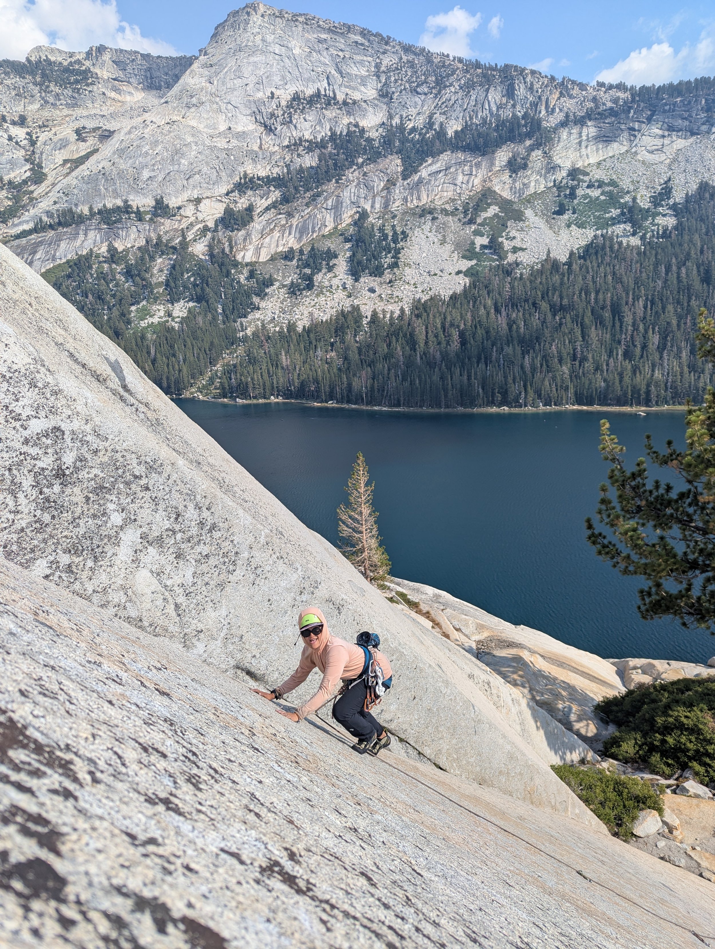
Day 5 (9/3/25): The forecast remained poor (significant afternoon precipitation). While we would’ve liked to climb another longer multipitch, the threat of aforementioned rain forced us to be flexible. As our time together is both precious and limited, we decided to see what we could climb. We compromised by choosing to attempt some lower-commitment routes at Stately Pleasure Dome. We went up Jabberwalky (5.5, 2 pitches) and Aoxomoxoa (5.5, 2 pitches), which proved more complex thanks to some chopped bolts. For me, the highlight of the day was when Rosemary came out of a lead climbing hiatus as she glided up Turkey Trot (5.8). Rosemary climbed with confidence and precision on the delicate slab, Tenaya Lake sparkling behind her. We all cheered with joy as Rosemary reached the anchor.

Day 6 (9/4/25): The weather cleared, and we were able to fit in one more day in the alpine. We chose to climb another Eastern Sierra classic, the Southeast Buttress of Cathedral Peak and Eichhorn Pinnacle. We began our approach at the Cathedral Lakes Trailhead around 7:15 a.m and reached the base of Cathedral Peak to begin our ascent around 9 a.m. We were familiar with most of the approach from our day on Matthes (although somehow that didn’t prevent us from walking in the wrong direction for a number of minutes). We simul-climbed most of Cathedral Peak, swapping leads, and summiting around 1 p.m. After descending the summit of Cathedral Peak, we traversed our way to the base of Eichorn Pinnacle for our last pitch and final summit of the trip. From the summit of Eichorn, we rappelled to the base of the pinnacle, then hiked to the Cathedral Peak walk-off. Once we were back at the base of Cathedral Peak, we started hiking back to the parking lot (with no misnavigations!). We were back to our vehicles before sunset, around 6 p.m. 

Day 7(9/5/25): We packed up camp in the morning and departed Tuolumne Meadows. On our drive to Bishop, we savored our final moments of the trip, exchanging music recommendations and reminiscing on our time together. At the Bishop Airport, we said our goodbyes, marking the end of a fruitful and memorable trip. Rosemary and I continued driving back to our respective homes thereafter. 


Rosemary and Sof at an anchor on Stately Pleasure Dome. PC: Zivia Berkowitz.

This grant was quite literally the catalyst for an incredible climbing trip. There are so few Black women climbing traditional alpine style routes, and we come from and live in so many different places! Finding the resources and time to come together is often a challenge. It was a gift to climb historic routes like Matthes Crest and Cathedral Peak as a team. This group of people, the intentions we set to build our skills as alpinists, push ourselves, support each other, and have a blast while doing so, was soul-filling and inspiring.

On a practical level, we practiced new systems on lower 5th-class terrain and gained valuable experience and insights into how we can move as efficiently as possible in exposed, technical terrain. 

Descending Matthes Crest while the sunset glowed red on the horizon, with a team of fellow Black women climber baddies and the friends supporting us, instilled in me a deep sense of gratitude.  

As Black women alpinists, we are often isolated in our experiences. Through the Catalyst Grant, we grew and learned together. On this trip, community and affinity were sources of boundless motivation and inspiration. Our time together in the High Sierra offered opportunities for growth as a climbing team with an abundance of dreams and bigger objectives ahead. 

Learn more about Rooting Souls, support the project, and stay up to date with our antics at rootingsouls.net and @rootingsouls on Instagram. Thanks to the American Alpine Club and The Catalyst Grant for the support! 


The Catalyst Grant is supported by:


The Line—A Sensational Spire in Pakistan

One winner of a 2025 Cutting Edge Grant from the AAC was alpinist and photographer Tad McCrea, who, along with fellow American Jon Griffin and German climber Thomas Huber, traveled to the Karakoram for their second expedition to attempt two sensational peaks. The first part of Tad’s trip report is shared below. For the second half, you’ll have to wait for your 2026 American Alpine Journal, coming later this year.

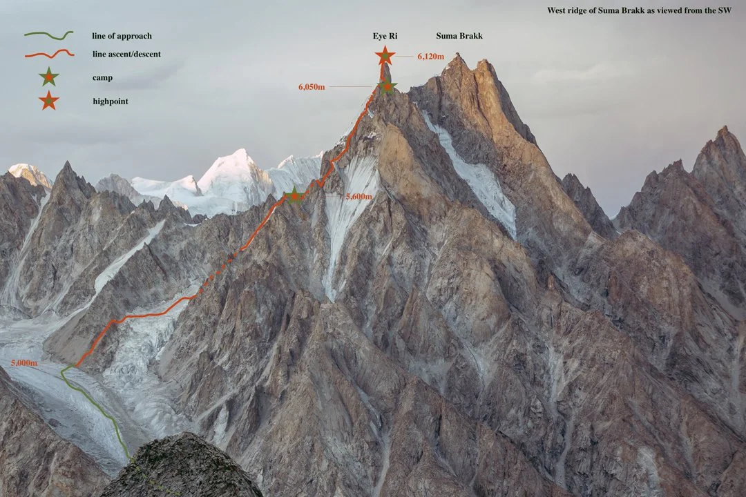
The line of the 2025 first ascent of Eye Ri (Suma Brakk West) by the west ridge. The central and highest peak has been climbed twice. Tad McCrea

Eye Ri, First Ascent, via Northwest Face and West Ridge

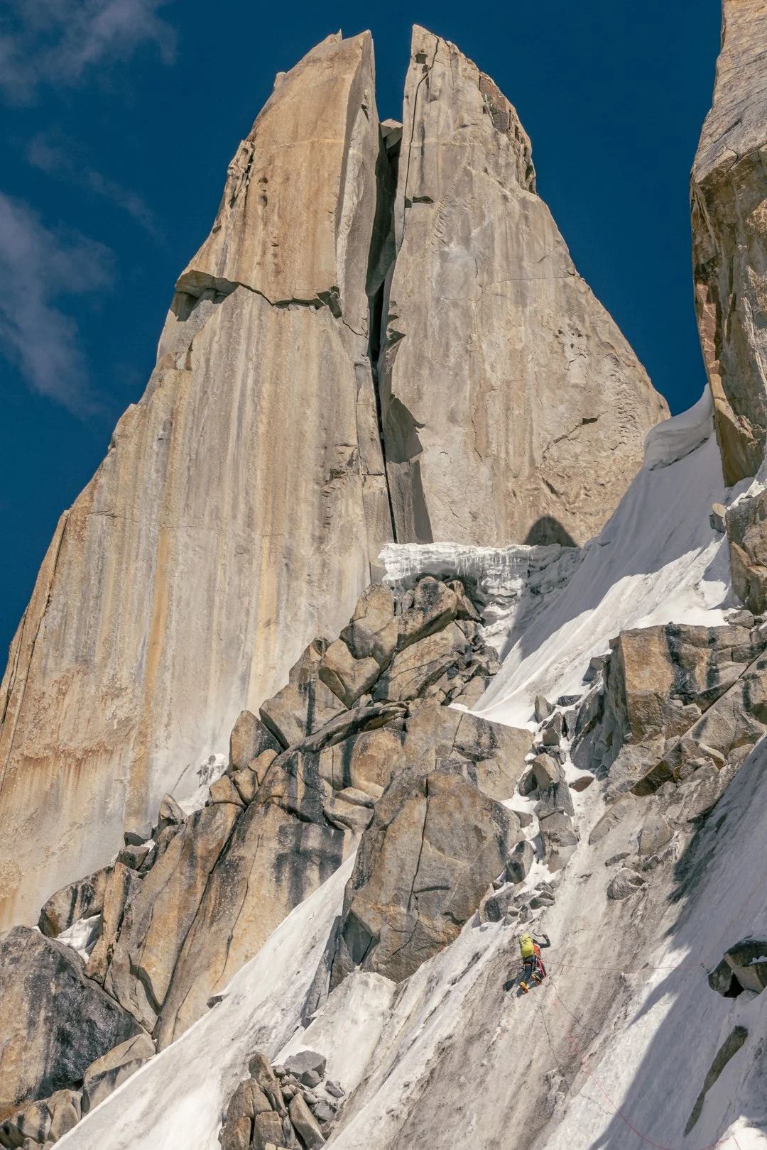
Jon Griffin heads toward the astonishing summit tower of Eye Ri, the west summit of Suma Brakk. Tad McCrea

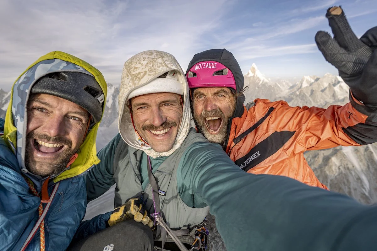
Jon Griffin, Thomas Huber, and I had visited the Choktoi Glacier in 2024, our goals the west summit of Suma Brakk and the southeast pillar of Latok III. Initially, the weather was stunning, but as our preparation was beginning to pay off, we were hit by five weeks of wet and restless weather. Our objectives quickly became out of reach.

On July 14, 2025, the three of us reconvened in Skardu, in northern Pakistan. The approach this time to base camp, at around 4,400 meters on the east side of the glacier, was challenging due to hot weather and raging river crossings. 

Then, five days into our stay at base camp, Thomas and I were called to assist in the attempted rescue of Laura Dahlmeier on Laila Peak. [The German athlete was a two-time Olympic biathlon champion and friend of Huber’s. She was retreating from the peak when she was hit by rockfall, fatally, around 5,700 meters.] Along with Americans Jackson Marvell and Alan Rousseau, who were on another expedition in Pakistan, we were airlifted to the peak, where we located her body from the air and realized any attempt to retrieve her would be futile. We hiked out to Hushe, then were helicoptered back to our Choktoi base camp on August 2. 

Two days later, we made an acclimatization trip to 5,700 meters near Suma Brakk. At 12:30 a.m. on August 9, we set off from base camp for the final climb.

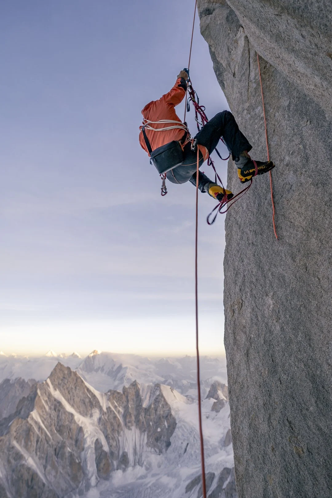
On summit day, Thomas Huber reascends the first pitch on the final tower of Eye Ri. Tad McCrea

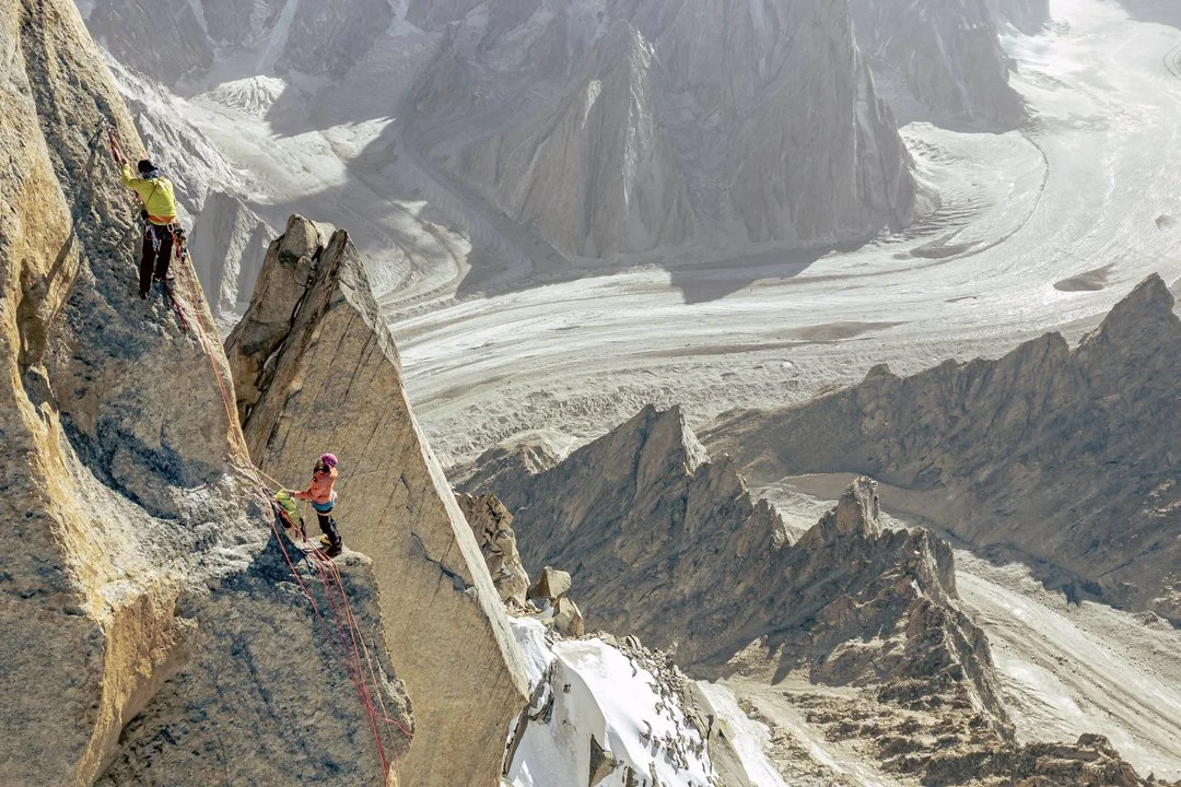
Suma Brakk is a triple-summited peak that has been climbed at least a couple of times by different routes. [The first ascent of the central and highest summit (6,166m) was made in 2007 via the southern slopes and southeast ridge, by Americans Doug Chabot, Mark Richey, and Steve Swenson. In 2018, Fabian Buhl and Alexander Huber—Thomas’s brother—completed the south ridge, with more than 56 pitches of climbing]. The west summit, which we dubbed Eye Ri (6,120m), was unclimbed. It appears as a spectacular needle when seen from the Choktoi side; moving around the peak to the west exposes a gash splitting the entire summit tower. There is a giant chockstone wedged 15 to 20 meters from the top that mimics Sauron's Eye.

Jon Griffin (leading) and Thomas Huber near the top of Eye Ri during the first ascent, with the Choktoi Glacier far below. Tad McCrea

We started up loose ribs and even looser rock gullies just left of a 300-meter icefall blocking access to a hanging glacier at the base of Eye Ri’s northwestern aspect. We had been here the year before, so we knew where to find the best path to the notch leading to the upper glacial basin. The climbing ranged from steep walking to scrambling. A hike up the glacier, then steep snow and névé with occasional stretches of ice and mixed (50°–75°), took us to the previous year’s high point at 5,600 meters on the west ridge, between the first and second gendarmes. While I chopped out a site for the tent, Jon and Thomas took our two single ropes and a tag line and fixed three pitches to the top of the second gendarme. 

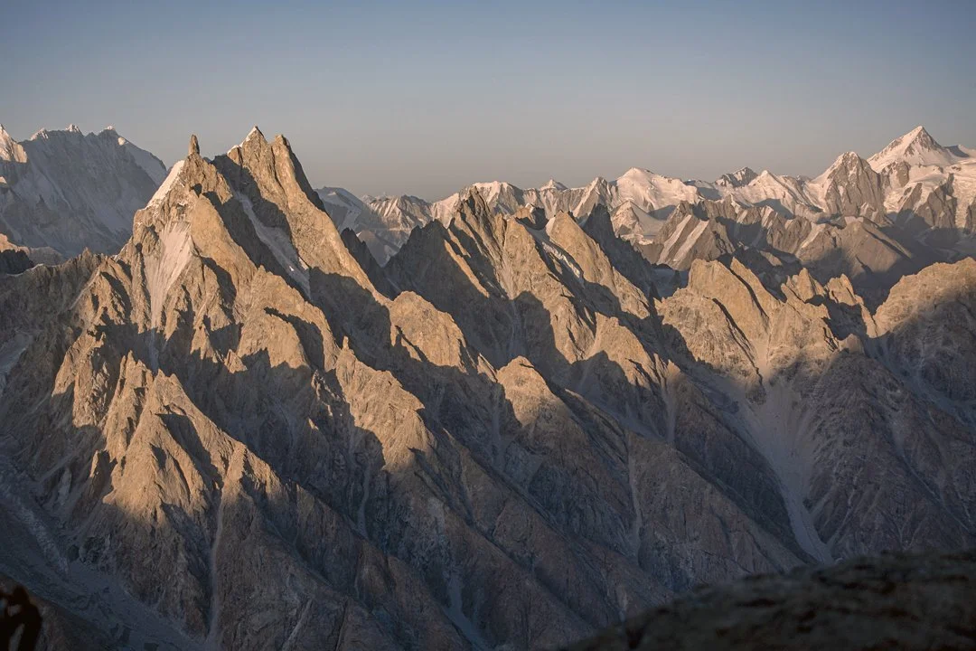
After making the first ascent of the triple-topped peak on the left side of this photo, Americans Doug Chabot, Mark Richey, and Steve Swenson gave it the name Suma Brakk, meaning “three summits” in Balti. They climbed the central summit in 2007. The 2025 first ascent of the pinnacle on the left, now called Eye Ri, followed the west ridge, descending to the left. The sea of rock fins and summits below and right of Suma Brakk, all below 6,000 meters, belongs to the Choktoi Subgroup, while the high pyramid at far right is Chiring (7,045m). Tad McCrea.

The next day, we continued past three more gendarmes to a bivouac below the final tower. There were a few rock pitches up to 5.10+ on textured golden granite, and ice up to 80°, and we needed the full quiver of alpine tactics and trickery to get our under-acclimatized bodies up to 6,000 meters.

In the morning, we climbed three challenging pitches up the tower, utilizing 12 bolts for protection and anchors. Free climbing up to 5.11, we also employed a variety of aid tactics. At a bus-sized platform four meters below the top of the tower, we fixed lines and rappelled 85 meters to our camp.

On August 12th, we jugged our lines and did a short boulder problem to the summit, for what appears to be its first ascent. We laughed, danced, and cried a little as we soaked in the expansive vista, then descended all the way to our 5,600-meter camp, making at least 15 rappels. With the heat maxing out, we were incredibly thankful to be on a ridge, as the mountain was exploding on all sides. The following day, we retraced our steps to base camp. We named the route HmlaA (1,000m, 5.11 A3 80°).

Left to right: Jon Griffin, Tad McCrea, and Thomas Huber.

—Tad McCrea, USA


New Cutting Edge Episode: Massive Climbs and Wild Adventures in Mozambique

The enormous granite peaks of Mozambique are among Africa’s most impressive rock formations, yet fewer than a dozen climbing teams have ever explored them. In 2025, a Spanish and American trio put up a 17-pitch route in Mozambique, and for this episode we spoke with one of the team members—American Dakota Walz—about what they encountered, including a seemingly inscrutable bureaucracy and a night in detention before they could even start the climb. Following the successful ascent, they suffered debilitating illness thanks to ill-advised celebratory ice cream.

In between were glorious days on a unique African mountain, creating a route worth repeating. Host Jim Aikman also chats with Majka Burhardt, a veteran of two climbing expeditions to Mozambique, about navigating the cultural and logistical challenges in a country struggling with a legacy of conflict. And AAJ editor Dougald MacDonald shares insights on southern Africa’s extraordinary granite climbing.


Sign Up for AAC Emails

The Huayhuash Is Still Open

Eric Kanopkin quests to find a dry spot for his tent. Photo by AAC member Luca Raso.

A Rare Ascent of Jirishanca Chico—A Story from the Mountaineering Fellowship Fund Grant

By Luca Raso

Originally published in Guidebook XVII

The mountain’s scale, as seen through my own eyes, terrified me. Film and photographs, a 60-year-old trip report, and even the topo sketches I had stared at for hours before arriving—none of them captured the size, or the exposure, or the weight of it. Lying in its eastern valley, listening to the static hiss of rain against nylon, I couldn’t sleep. I had been catfished by my own dreams. Any confidence I had built up in the Cordillera Blanca now felt suspect. Bootpacks and snow anchors set in place by mountain guides, lively refugios and high camps, and broader terrain that was mostly walkable; these were all crutches that fed into my delusion, now taken away by just one close glimpse at Jirishanca.

On June 2, 2025, after a few hours of tossing and turning in my sleeping bag, I set off with my partner Eric Kanopkin to climb Jirishanca Chico, a 5,400-meter peak in the Cordillera Huayhuash range of Peru. The grassy hills that rolled up to Niñacocha, the meltwater of the Rondoy Glacier, were flooded with rainwater and cow manure. Our double boots squished loudly as we went up the valley, waking and startling cattle as we passed. We were indiscreet spies under the cover of midnight’s darkness, clambering across no-man’s-land toward what we assumed was our acclimatization objective.

The first time I had seen the Huayhuash was back in 2024, from the popular hilltop sport climbing crag of Hatun Machay. I was there with Maxwell Hodges, a friend who helped introduce me to the climbing life—as well as to the Cordillera Blanca. That day, we were sunning ourselves on rock, a happy respite from slogging up the Blanca’s sloping glaciers. “Why don’t we head there?” I had asked him, pointing toward the jagged, snowcapped massif of the Huayhuash.

Trekking into the Mitococha Valley with views of (left to right) Jirishanca Chico, Jirishanca’s twin peaks, Rondoy, and Ninashanca. Photo by AAC member Luca Raso.

All we knew then of that place was the famous climbing accident recounted in Joe Simpson’s Touching the Void. While descending a 6,000-meter peak called Siula Grande in 1985, Simpson broke his leg and fell into a crevasse, which ultimately resulted in one of the most epic survival stories in mountaineering. Max just laughed. We weren’t ready. He was right; we could barely lead the bolted 5.10s at Hatun without our legs shaking.

Throughout a season of climbing the high peaks of the Cordillera Blanca and another year of climbing in Colorado, I could not stop thinking about the Huayhuash. Max and I climbed tourist peaks like Chopicalqui, Tocllaraju, and Pisco, and since we were always surrounded by other climbers and guides from all over the world, it was easy enough to mimic the common patterns of ascension even on our dirtbag budget. We followed the well-worn paths made by pack mules and beater taxis. Throughout our adventures, I kept my head up to admire the condors, untethered by the ground’s limits, as we were.

Luca and Eric find a mule at the Quartelhain trailhead of the Cordillera Blanca after driving through herds of cattle. Photo by AAC member Luca Raso.

The Huayhuash represented something different to me. Unlike the Blanca, it hosts no regular climbing activity; it’s harder to reach and has a higher concentration of more technical peaks. The number of climbers coming into the range each year can be counted on one hand. A significant reason for that lies in its history. The Huayhuash was closed off to climbing in the late 1980s into the ‘90s, as a result of the violent hegemony of a Maoist terrorist group called El Sendero Luminoso. Foreign climbers were turned away from the remote area for years, and the Huayhuash faded off of ticklists. Even after its reopening, the Huayhuash brought in limited climbing activity, while the Blanca, just hours to its north, expanded in popularity.

Eric Kanopkin traverses around one of the snow mushrooms on the west ridge of Jirishanca Chico before leading a pitch up an ice runnel. Photo by AAC member Luca Raso.

After leaving Peru in 2024, I was still drawn to the Huayhuash, but not just for the austere beauty of its mushroom-capped ridges and dramatic summit pinnacles. The mystique that shrouded the range, the lingering stigma among climbers, was what really captivated me. It was simply bizarre to me that two ranges, the Huayhuash and the Blanca, so close and similar in geography, could be perceived so differently by climbers. Stoked, ambitious, and just out of college, I was determined to go find out for myself.


Once the sun rose, warm colors illuminated a world of winter above us. Eric and I were finally on the Rondoy Glacier, heading toward Chico’s northeast face. To climber’s right, Jirishanca’s north ridge was a sweeping ramp of snow and ice into the golden and pink heavens. That was the ultimate route that we were preparing for on Chico, a goal that ironically seemed farther out of reach the closer we got to it. I was worried that I was already in over my head, but my fear was dissipating from the restless night before. Dwarfed by the apu, the Quechua’s mountain gods, I was momentarily comforted by the extreme beauty around me. In that light, I was inside a Gothic cathedral on a Sunday morning, soothed by the voices of the choir. It took me a while to notice the serac that loomed over our path on the face above. Anxiety returned. “Are you worried about that?” I asked Eric.

He paused to catch his breath and looked at it. “Let’s just keep moving.”

To gain the west ridge, we simul-soloed a couple of easy mixed steps and then steep snow, around 100 meters or so. Once we crested it, we could see that much of the ridge proper was a corniced knife-edge, narrow and even steeper on its southern side. Between us and the summit stood a kilometer of snow mushrooms.

At first, the ridge looked impassable. The only other two reported attempts of this exact ridgeline (besides its first ascent) declared it to be too dangerous. Still early in the morning, we decided to give it a shot. We moved back down from the ridgeline to go around the serac, eventually climbing through it via a narrow chute of ice. This was nothing in comparison to our next obstacle. Across a football field of flat ridge, a 30-meter step of snow-covered rock stood in our way. Shattered limestone choss frosted with dollops of sugar snow obscured any obvious line.

Eric Kanopkin leads the chossy mixed crux pitch on Jirishanca Chico’s west ridge. Photo by AAC member Luca Raso.

Protection was doubtful, the climbing was steep, and the snow on top was too shallow for any pickets. Demoralized, I looked to Eric.

Eric, ten years older than me, was one of my first ice climbing partners back in Colorado. The two of us have gotten in over our heads together several times—trauma-bonding over epics like the 29 hours it took us to climb Kiener’s Route on Longs Peak in the dead of winter. Married, with a steady job and a house, Eric had his sh*t together, and he was easy to trust. When I asked him to come to Peru for his first trip, his eyes lit up. Our first week and a half climbing together in Peru had its highs and lows. We went to the Ishinca Valley and easily climbed Urus Este as our first acclimatization climb, though a bad empanada resulted in some gastrointestinal difficulty. On the North Face of Ranrapalca, I had my turn. Halfway up the route, I vomited all over the ropes and soiled my new M10 pants, which I blamed mostly on altitude sickness.

Base camp in the Huayhuash had been anticlimactic. Days of rain isolated us in our separate tents, and despite the surprising numbers of trekkers and their entourages around us, a claustrophobic loneliness set in. Eric had mentioned that his wife was not happy with his decision to go on this trip without her, and he was preoccupied with the aftermath via his inReach. I spent a lot of time alone in my tent, listening to the soft patter of rain and the thundering conversation and laughter emanating from the trekkers’ tents across the valley. It was a different feeling of remoteness than I’d expected from the Huayhuash.


Luca Raso is very tired and stressed out on Jirishanca Chico’s summit mushroom. Photo by AAC member Eric Kanopkin.

“I think I can do it,” Eric said.

I looked down at our anchor, two pickets and an ice tool tied together. “Well, if that blows, I will try to jump off the other side of the ridge.”

Literally on the edge of my snow seat, I watched Eric lead the rope up and over the mixed step. At every placement of piton and Camalot, I shouted forced stoke at him. He showed stubborn confidence in every hook of his tool, standing on his frontpoints without any tremor in his legs. Occasionally, he cleaned chunks of rock into the abyss, but it never startled him. He was all in.

Once he swam up the next mushroom of sugar snow and built another picket anchor, he groaned with relief. “Hell yeah!” I yelled back. Eventually, the rope went tight, and I followed in his wake. I didn’t say anything when his gear came out with eerie ease, even as each pry of my ice tool to clean the pitons fractured more heaps of rock off the ridge.

From there, we swung leads across knife-edges and snow mushrooms for another half a kilometer to the summit. Often, it was hard to tell whether there was any mountain beneath our feet. It became clear why most climbers had thought the ridge to be too dangerous. The snow mushrooms’ physical structures seemed impossible: How could deep powder pile up so steeply without collapse? A few weeks after our ascent, Alexander Huber, Dani Arnold, and Simon Gietl bailed from Jirishanca’s east ridge, just across the saddle from our route, opting to end their route at the east summit, instead. It’s hard to say if conditions were the same, but there is a chance that we were braver (or more stupid) than the professional alpinists.

Eric let me have the final pitch. Exhausted from breaststroking my tools and kicking my feet into nothing, I had to catch my breath before belting out a loud “Whoo!” on Jirishanca Chico’s summit. From there, I finally appreciated the panorama of Siula Grande, Yerupajá, and Jirishanca around me, a momentary distraction from the stress of the past seven or so hours. Eric joined moments later, and we rejoiced in the reunion.

As we downclimbed the ridge back to the glacier, I thought about sirens. In The Odyssey, Ulysses sails his crew through treacherous waters past these alluring creatures and their infamous, transfixing siren song. While his sailors plug their ears to avoid the danger of drowning themselves for this beauty, Ulysses commands them to tie him to the mast of the ship. While most rational people would decide to cover their ears, Ulysses risked his sanity in order to experience something truly beautiful.

Perhaps Eric and I, tethered to each other, heard the Huayhuash’s siren song. On that delicate, corniced ridgeline, we experienced a new level of earthly beauty, unparalleled by any other experiences I have had in the mountains. But its fatal temptations also frightened me to my core. We were already talking about bailing on Jirishanca proper as we descended its smaller sibling. We had escaped the treacherous ridge alive, and it was hard to fathom another one on an even larger mountain at 6000 meters. We were satisfied enough with our time on Chico, a probable second known ascent of the Northeast Face. But as we left the Huayhuash and went home (where Eric patched things up with his wife), the feeling of failure crept into my mind. It felt as if we had gotten away with something, just barely escaping the lethal lure of the mountain.

With time and distance, this ascent has become a scrying glass. I had been driven by curiosity, a quiet itch to see if these seldom-climbed peaks could be a place of exploration and self-discovery for someone like me. I found the Huayhuash to be a place of alluring, dangerous beauty, but not without significant challenge. Yet my experiences there have ultimately reinforced my original curiosity with the range. As a young climber who quite frequently gets in over his head in climbing, the Huayhuash was a lesson in restraint. I came to the range with arrogant ambitions to climb Jirishanca, and its smaller sibling humbled me. While I false-started on the main objective for that trip, I am only more excited to return as a more experienced climber and rediscover these peaks with trusted partners like Eric—to hold me to the mast.


Sign Up for AAC Emails


The Line—From Bozeman to the Baspa

Since 2010, climbers have been exploring the mountains, cliffs, and boulders above the village of Rakchham in northern India’s Baspa Valley, drawn by varied, high-quality climbing and relatively modest elevations in this quiet corner of the Himalaya. Last fall, two Montana-based climbers—Ryan Griffiths and Seth Timpano—spent several weeks in the area. Here’s their story.

The 800-meter northwest face of Peak 5,400m above the Rakchham Plateau. Photo by Ryan Griffiths.

Rocking the Rakchham 

In late October and early November 2025, Ryan Griffiths and I climbed new routes on two unclimbed peaks above the Baspa Valley. We were based out of the village of Rakchham at around 3,150 meters, with a small advanced camp on the Rakchham “plateau” at 4,100 meters. 

After a week of acclimatizing, we spent October 21 and 22 climbing the northwest face of Peak 5,400m. This gave quality moderate ice and mixed climbing, but was not particularly sustained, as the route was split by a small pocket glacier, which we used for a bivouac. The 800-meter ascent had difficulties up to WI4 M5. 

We next tried the east ridge of unclimbed Daboling (ca 6,050m) at the head of the valley. Starting from a high camp at around 5,400 meters, we climbed 13 pitches on mostly good granite, although at times the climbing was tedious and the terrain felt like stacked Jenga blocks. The line was classically alpine in nature, and it is difficult to assign a rock or mixed grade. 

Our high point was around 5,850 meters. Four or five more pitches would have taken us to the summit slopes, but without bivouac gear, and knowing the descent would be complex, we made a conservative call to retreat. Our descent involved a dozen rappels (exclusively on rock anchors), first down the ridge then onto the steeper south face. 

After a short rest in town, we ended the trip by climbing a 200-meter granite tower that tops out at about 5,100 meters. This is the Fourth Pillar of Ray Peak, as defined by the Austrian team that visited the area in 2019 (AAJ 2020). Ryan and I climbed the south face of this tower in five pitches, four of which were 5.9 or 5.10 and composed of perfect granite. We rappelled our route. 

Overall, we found this to be a beautiful area with impressive boulders and excellent alpine rock potential. However, the alpine ice will require very specific—perhaps rare—conditions, as the mountains are losing their perennial snow. 

Seth Timpano on the first pitch of the northwest face of Peak 5,400m. Photo by Ryan Griffiths.

Ryan Griffiths climbs a nice ice pitch to circumvent the icefall on the northwest face of Peak 5,400m. Photo by Seth Timpano.

Ryan Griffiths high on the east ridge of Daboling. The rocky pyramid on the left is Phawararang (6,349m), climbed several times via the south ridge. Photo by Seth Timpano.

Seth Timpano on the excellent second pitch on the south face of the Fourth Pillar of Ray Peak. Photo by Ryan Griffiths.

The south face of the Fourth Pillar of Ray Peak. There are three prominent dihedrals with their right walls in shadow. The 2025 route climbed splitter cracks up the sunny left wall of the rightmost corner, finishing with a long pitch up the southwest face directly to the summit. Photo by Ryan Griffiths.


Bouldering and Beyond

Three routes climbed in 2019, each with about 600 meters of climbing, seen from the boulder-strewn Rakchham Plateau. The reports are in AAJ 2020. Photo by Gebhard Bendler.

Modern climbing in Rakchham and the Baspa Valley has a somewhat unlikely origin story for an alpine zone: It began with bouldering. In 2010, well-known European climbers Elie Chevieux, Frederic Nicole, and Bernd Zangerl explored the Kinnaur district of Himachal Pradesh and discovered the Baspa Valley, “a veritable Shangri-La for the rock climbers,” as Chevieux wrote in AAJ 2012. Their stories about the climbing near Rakchham prompted a steady stream of visitors over the next decade. (Spanish climber Silvia Vidal was another early visitor—she soloed a 1,000-meter wall in the area in 2010.) 

No one was more infatuated with the area than Zangerl: He has traveled from his home in Austria to Rakchham more than ten times. Zangerl also is one of the driving forces behind community efforts aimed at making climbing a sustainable activity that benefits and is welcomed by local residents. He recently published the first guidebook to bouldering in the area and helped spearhead a bouldering festival this past October, along with the locally led Rakchham Mountaineering & Adventure Club. A community website, rakchham.com, is a great resource for climbers considering a visit, providing beta, information on permits that support the local community, and an offer to help alpinists avoid peaks that the local people consider sacred. 

In 2022, Five Ten produced a beautiful 20-minute video, directed by Ray Demski, showcasing Rakchham and the efforts to preserve its beauty and culture while the Baspa Valley develops as a climbing destination.


Last summer, the Women's Young Alpinist Team of the Swiss Alpine Club journeyed to East Greenland—without ever boarding a plane—and climbed six long rock routes, four of them in a fjord that had never been visited by climbers. Team leader Caro North is the main guest this episode, describing the difficulties of organizing such a complex exploratory trip. Just getting there and back involved trains, ferries, cars, and a voyage by sailboat. Even though she was the most experienced climber in this group, Caro deliberately stepped back from the decision-making, letting the younger team members plan and lead their routes—a rewarding tactic for Caro, but also one with some emotional challenges. 

Rounding out this episode, host Jim Aikman interviewed American Mike Libecki, who has done more exploratory rock climbing in southeast Greenland than anyone alive.


The Line is the monthly newsletter of the American Alpine Journal.

Sign Up for AAC Emails

The Line—Unclimbed Baffin

Most climbers journeying to Baffin Island in Canada head to the Weasel River Valley in Auyuittuq National Park, home to the world-famous walls of Mt. Asgard and Mt. Thor, among many others. Yet despite more than 50 years of climbing history in this area, there’s still enormous potential just outside the main valley. In April 2025, an ambitious and creative British team explored the glacier systems east of the Weasel River, finding numerous unclimbed peaks and walls.    

A striking unclimbed peak to the south of Mt. Bilbo, at the head of the Nerutusôq Glacier. Photo by Tom Harding.

Nerutusôq Glacier and Fork Beard Glacier, Seven First Ascents

Unclimbed walls about 25 kilometers from Kingnait Fjord, which is accessible by boat in summer. The photo is taken from the eastern side of the Fork Beard Glacier, looking approximately southeast. Photo by Tom Harding.

In April 2025, a four-person team made up of Leanne Dyke, James Hoyes, Ben James, and I flew into the settlement of Pangnirtung. Our hope was to use spring snow cover to ski the length of the mountains to the east of the Weasel River Valley, ascending unclimbed peaks along the way. However, on April 7, strong winds and lack of sea ice prevented us from accessing our planned snowmobile drop-off in Kingnait Fjord (the next fjord east of Pangnirtung Fjord). After this false start, we changed plans and were dropped on April 10 just below Summit Lake at the head of the Weasel River Valley.

An aerial view to the east over the Fork Bear Glacier complex, showing the 2025 team’s ascents in this area. Photo by Tom Harding.

We had hoped to ski straight up onto the Nerutusôq Glacier, to the southeast of Summit Lake’s outlet, but a lack of snow meant we spent three exhausting days portaging our sleds, food, and equipment up onto the glacier. We made camp three kilometers southwest of Mt. Bilbo (1,842m).

The team on the summit of Uppijjuaq (1,823m). Photo by Ben James.

From this camp, we made two first ascents. On April 14, we climbed the east slopes to the south ridge of a 1,823-meter peak we named Uppijjuaq. The next day, we made the first ascent of Minas Tirith (1,950m) via its three-kilometer west ridge (PD-), passing tricky steps and steeper granite cracks to an impressive summit tower.

We then skied south onto the Fork Beard Glacier, making two more first ascents, the southwest rib of Aqviq (1,860m) and the west face of Inutuaq (1,637m), as well as a failed attempt on a third peak.

Next, we headed south on the Fork Beard Glacier, hoping to find a pass at the top of the Turnweather Glacier that would connect us to the Gateway Glaciers to the south, but after two days of searching, no feasible route was found. Fortunately, this unnamed valley had never been visited by climbers, to the best of our knowledge, and we went on to make three more first ascents: the south face of Ukaliq (1,532m), west to north ridge of Uvingajuq (1,615m), and the south slopes of Atangiijuq (1,600m).

With so many of the peaks in this area of Baffin given Norse or English names, our team thought it would be nice to instead use the Inuit language to name most of the first ascents. Traditionally, the local population gives names for what the peak looks like or what they see in the local area, and we followed this method. For example, Uppijjuaq means “snowy owl,” Aqviq is “humpback whale,” and Uvingajuq means “diagonal,” after the distinctive ramp we climbed.

The team’s camp on the Fork Beard Glacier, with Inutuaq (1,637m) in the center right of the photo. They made the first ascent by traversing around the right side of the mountain and climbing the west ridge. Photo by Ben James.

To end our trip, we skied four days to exit the mountains: first to the west via the branch of the Fork Beard Glacier flowing south of Tirokwa Peak, then south along the frozen Weasel River, and finally to the sea ice in Pangnirtung Fjord. We returned to Pangnirtung village on April 30, having completed seven likely first ascents and skied around 150 kilometers. The weather was surprisingly stable, with many blue-sky days, and although temperatures at the start of the trip dropped to -30°C, it quickly warmed to a comfortable -10°C.

The eastern portions of the Nerutusoq and Fork Beard glaciers still have potential for future teams. Accessing this area in summer would be a long journey, but using the spring snow opens up the area. [This mostly British team received support from the Mount Everest Foundation; their extensive trip report can be downloaded here. They received additional support from the Arctic Club, British Mountaineering Council, Austrian Alpine Club, and the Alpine Club (U.K).]
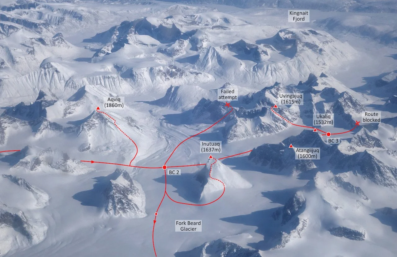
—Tom Harding, United Kingdom


Last Call for Canada Reports—AAJ 2026

The 2026 AAJ will publish four more reports from Baffin Island, in addition to the one shared above. We plan to wrap up the Canada section of the book in early February. If you or a friend climbed a long new route anywhere in Canada in 2025, and you aren’t already in contact with an AAJ editor, we’d love to hear about it no later than January 31. Reach us at [email protected]. 


New Episode—The Direct Line on El Capitan

In November 2025, Sasha DiGiulian free climbed The Direct Line (a.k.a. Platinum Wall), a 39-pitch 5.13d on El Cap, in a 23-day push, including nine days trapped by a storm high on the route. For this episode, host Jim Aikman explores the history and highlights of this relatively new route (first free ascent: 2017), which is becoming known as one of El Cap’s most sustained and high-quality free climbs. Other guests include Elliot Faber, co-developer of The Direct Line and Sasha’s partner for the climb, and Alex Honnold, who also freed the route in November, with Tommy Caldwell.


Sign Up for AAC Emails

The Line—Desert Towers in Saudi Arabia

Saudi Arabia is nearly ten times the size of Utah, and most of it is desert. Like Southern Utah, the terrain is riven with sandstone canyons and towers, nearly all of them unclimbed. Last January and February, a German trio did a three-week, 4,600-kilometer loop around the desert kingdom, exploring the traditional-climbing potential. So, how did their expedition turn out? It was a mixed bag.…

Gemini Tower, north of Wadi Al Disah in western Saudi Arabia. After the first ascent of the four-pitch formation, the German team was informed that climbing is not permitted in this area. Photo: Daniel Hahn Collection

Wadi Al Disah, Bajdah, Wadi Dham: 12 First Ascents

Excited and somewhat stressed, we plunged into the crazy traffic of the seven million–strong metropolis of Riyadh in our rental car. Excited because a journey into the unknown lay ahead: a search for climbs in a country that has only been open to Western tourism since mid-2019. And stressed because only five of our six pieces of luggage had arrived.

With a day to kill, Michael “Michi” Bänsch, Daniel Hahn, and I first shopped for supplies, then drove out of the metropolis toward the Edge of the World, a rocky escarpment northwest of Riyadh. The traffic was terrible; one construction site followed another. The entire country is being dug up; money seems endless. Due to the construction work, neither Edge of the World nor the stunning sandstone tower of Faisal’s Finger were accessible. But at least we spent a nice first night in the desert, giving us some relief and preparing us for the coming weeks.

The next day, January 20, our last piece of luggage arrived. We took a deep breath and set off toward Wadi Al Disah, 1,300 kilometers to the northwest, fairly near the Red Sea. Settlements were very sporadic, and the closer we got to the Hejaz Mountains, the more fascinating the landscape became. When we entered Wadi Al Disah, our jaws dropped: endless sandstone cliffs, magnificent scenery, and potential for generations of adventurers. Atir Tower, the valley’s landmark, glowed in the evening light. After finding a place to sleep and cook dinner, we went swimming—yes, swimming! A stream flows through the wadi, providing gloriously green vegetation and offering us a welcome cool-off every evening.

Seppo and Michi starting up the first pitch on Hinterhaus, a 200-meter formation in Wadi Dham. Photo: Daniel Hahn

The next morning, we headed straight to the Atir, a 350-meter tower and one of the few Saudi formations with documented routes. It was climbed by a chimney route on the east side in 2013, by a party including Donald Poe, a U.S. oil engineer and Saudi Arabia resident. In 2020, a group led by Leo Houlding from the U.K. found a new line on the west face and named it Astro Arabia (5.11). We climbed the original route (UIAA V or about 5.7), hoping to encounter rock roughly akin to the well-known Wadi Rum in Jordan, about 230 kilometers to the north. In fact, the rock turned out to be quite brittle and dirty. But what a summit!

Over the next few days, we searched for more climbable rock, which was harder than expected: There are endless formations, but upon closer inspection, many turned out to be too difficult, too fragile, or both. The fact that we did not have a drill or bolts didn’t make it any easier. But we soon made the first ascent of a beautiful tower (which had obviously been climbed by locals up to its forepeak), right at the valley entrance. We called it Burg (“Castle”) and the route Uralter Weg (“Ancient Path,” 80m, VI/5.10-).

Further into the valley, another peak tempted us, perhaps 100 meters high and with what appeared to be a climbable route. Soon after we started climbing, however, we heard strange noises from below. The SFES (Special Forces Environmental Safety) rangers had spotted us and were ordering us back down. After a lengthy but quite friendly discussion, we were surprised to learn that climbing is prohibited in the entire Wadi Al Disah. 

We detoured to a nearby canyon just to the north, Wadi Tarban (or Tourpan), where we climbed Gemini Tower (130m, 4 pitches, V+) and Porcelain Tower (scrambling plus 25m, VI), before being informed by friendly locals that climbing was not allowed there either. So, we left the Wadi Al Disah area earlier than planned and continued to Bajdah, a small town farther north, near the city of Tabuk, where we had been told climbing is officially permitted.

Michi in Al Gharameel Nature Reserve, where the climbers ascended five needles up to 20 meters high. Photo: Daniel Hahn

Here, a completely different landscape awaited us: an open plain from which countless rocks rise, some enormous massifs, some picturesque needles. It may be hard to imagine, but deciding where to start in a sea of rock is truly challenging. But we soon found some nice objectives, including a two-pitch needle that we named Stoneman, climbed by a new route called Triumph des Willens (“Willpower,” ca 100m, VII-/5.10). We also reached all five summits of a formation we named Felsenbrüder (“Brothers of Stone”), about 150 meters high, by the route Geschenk der Wüste (“Gift of the Desert,” VII-). The climbing here was challenging, with brittle overhangs that had to be overcome or bypassed, followed by easy scrambles to the summits.

Next, we visited the nearby Wadi Dham (Damh), where we fanned out, eyes upward, looking for opportunities. We chose a pagoda-like formation we called Hinterhaus. Although generally easy, it also had many small overhangs, and one even required aid: Weg des Willens (VI+ C1). Two more days here brought us the first ascent of another small tower and some beautiful hikes in an impressive landscape—simply a wonderful time.

On all of our climbs, we only used cams, nuts, and slings. No bolts were placed. We live in Dresden, near the famed sandstone towers of Elbsandsteingebirge and Adršpach (Czechia), and we are very experienced sandstone climbers. Yet, even though Saudi Arabia seems to offer endless sandstone climbing, the rock is very unpredictable, even when it looks great—sometimes a hold stays put when weighted, sometimes it pops off. With all the dust and coarse sand, the ropes got stiffer every day—all of our gear suffered as much as our nerves.

After two weeks I headed home, while Michi and Daniel stayed for another week. During this time, they visited Al Gharameel Nature Reserve and found countless sandstone needles. They climbed five towers, up to about 20 meters high and UIAA VI (5.9+/5.10-), without seeing a single trace of previous climbers.

During our travels, we met incredibly friendly people, some of whom offered us water or invited us to share tea or coffee, and shared interesting conversations, sometimes in perfect English, sometimes with gestures and Google Translate. We enjoyed a simple life, sleeping out on the sand. On some mornings, our sleeping bags sparkled with frost. We pushed or dug the car out of the sand twice. In all, we summited 13 formations, probably 12 of them first ascents.

—Stephan “Seppo” Gerber, Germany 


Sport Climbing in Saudi Arabia

In addition to the desert towers explored by this team in 2025 and the British group in 2020, a bit of early traditional climbing was reported on granite in the western part of Saudi Arabia, south of Ranyah (AAJ 1989). Of more interest to many climbers will be the sport routes developed in late 2018 at various sandstone, granite, and limestone crags—some of them quite impressive—by Read Macadam (Oman) and various European climbers, who worked with the Saudi Climbing and Hiking Federation. The federation has published PDF guides to these crags, and many of these routes have been posted at Mountain Project.

Overview of the impressive Olympic Crag, which has about 40 routes on steep granite, two and a half hours east of Jeddah, Saudi Arabia.


Astro Arabia

In early 2020, shortly after Saudi Arabia opened to tourism, British climbers Waldo Etherington and Leo Houlding visited Wadi Al Disah and climbed two large towers, leading to a film, Great Sheiks, as part of the Brit Rock series. Here’s the opening segment from the film, covering the first ascent of the 100-meter Leaning Tower of Disah—it gives a good sense of the “acquired taste” for exploring variable Saudi sandstone.


The Cutting Edge Podcast: Cerro Torre Solo in Winter

On September 7, Colin Haley reached the summit of Cerro Torre all alone—a climb that tested this Patagonia veteran perhaps more than any before. It was the first winter solo of the stunning granite needle, and the culmination of a nearly 20-year dream. Don’t miss this extraordinary episode of the Cutting Edge.


The Line is Powered By:


The Line is Supported By:


Sign Up for AAC Emails

The Lizard Life: A Glimpse at Hueco Climbing Culture in Its Modern Age

Photo by AAC member Michael Lim.

By Hannah Provost

Originally published in Guidebook XVI

Luis Contreras is breathing steadily, forcefully, with intention.

He is 15 feet off the deck, and has 20 more feet of textured edges, sidepulls, and huecos to top out Wyoming Cowgirls, a 35-foot V5 on Hueco Tanks’ North Mountain that has recently been reopened.

A few pads sit lonely in the rocks below. Each of his precise foot placements and composed breaths are indicators of the stakes, and they reflect the time this climber put into top-rope rehearsing such a consequential highball. His movements are linked in chains of powerful bursts punctuated by rests. A certain barely observable shaking reverberates from his core into his limbs, but his breaths and the wind are the song he is dancing to—the shaking and the fear squashed down.

For Contreras, “the best climbs are the ones that even if you’re not a climber you walk by and you say, 'Wow that’s a sick climb...' I [am] drawn to these striking tall faces.” Wyoming Cowgirls had always been one of those climbs.

Contreras tops out quietly, his focus unwavering until he is fully over the rounded slab of this immense boulder, where he sits. No whoops, no cheers. Just a private adrenaline high coursing through his veins.

Instead of celebration, he gazes out to the brush-filled desert beyond.


How do you understand the essence of a place? There are of course the facts and figures, the ecology and topography of the terrain, but there are also the traditions and rituals and history of the people who move across it. Such entanglements are why some might say that “the climbing community” (singular) is a misnomer. Our landscapes too-specifically shape us.

For example, Rifle is the land of lifers. That tight canyon, with its near-instant access to climbing seconds from the car, allows for kids splashing in the stream, craggers at Project Wall rubbernecking as you drive by, and the daily parking shuffle as you move from crag to crag. Ten Sleep is Adult Summer Camp: Given the long journey required to get there and its minimal infrastructure, the place welcomes tech bros and remote workers to set up shop for a month or the whole summer, with scheduled camp activities limited to river time, brewery time, or climbing time. As a final example, the Red River Gorge is never never land, where a dirtbag might never grow up.

Climbing cultures, like any culture, are a mixture of language, beliefs, rituals, norms, legends, and ethics that are largely shared by a community and emerge from the interaction of that community with their landscape. Hueco’s iconic roofs, abundant kneebars, airy highballs, deep bouldering history, importance to Indigenous cultures like the Tigua Indians of Ysleta del Sur, and fragile and rare ecosystem shape its climbers too, on an individual level and at scale.


Bouldering in Hueco is an intimate affair. With guides required to access most of the climbing, and groups capped at ten people, “most people know most people, and if you don’t know them it’s only a matter of time,” says Luis Contreras, who is a Hueco guide of a decade and El Paso born and raised.

Most climbers at Hueco fall into one of four groups: the El Paso “city” climbers, the lifers who own property right outside Hueco Tanks State Park, the seasonal dirtbags who migrate every winter, and the out-of-town visitors who pilgrimage there (often yearly) when they can scrabble together some PTO. Even the visitors become known entities—once you have a guide you trust, why not come back to climb with them again and again? You’ll likely find who you’re looking for at one of three community hubs: the Iron Gnome, the AAC’s Hueco Rock Ranch, or the Mountain Hut.

Photo by AAC member Dawn Kish.

Within such a small community, a run-in with an old head or unique character is considered commonplace. You might chat with Lynn Hill over beers at the Iron Gnome, or spot Jason Kehl out in the distance developing a new line. You’ll likely wave at Sid Roberts as he leaves the park from his early-morning session, or even share a laugh with the colorful John Sherman—the originator of the V-Scale.

But no matter what kind of Hueco climber you are, climbing at Hueco feels deeply entangled—it requires a self-consciousness of landscape, access, and ethics that doesn’t just fall away when you throw down your pads and pull onto rock. But that’s not a downside for locals like Luis Contreras and Joey McDaniel. That’s the richness of it.


Among the javelinas and ringtails, among the scooped huecos and textured patina crimps, it’s common to hear the idea that “climbing in Hueco is a privilege.”

Again and again, locals point to a shared ethic when asked about the culture of Hueco. There is a protectiveness over the ecological uniqueness of the place. The Chihuahuan Desert holds 25 percent of the world’s cacti diversity after all—including prickly friends like the Texas rainbow cactus, scarlet hedgehog cactus, and horse crippler cactus. Hueco guide Joey McDaniel always likes to say, when it comes to Hueco, “the more you look, the more you see.” And indeed, for the ancient water systems in the huecos for which the park gets its name—where the famous fairy shrimp eggs lie in wait, for years at a time, anticipating the water that will enable them to hatch— this is most certainly the case.

Some Hueco climbers express pride in the sandbagged nature of the grading. Others hold tight to the humbling challenge posed by the proliferation of highballs in the area.

Others note the awe of walking past ancient rock art on your way to the proj, or learning from a tribal elder during the park’s Community Fair (also known as the Interpreter Fair) about the way local tribes continue to celebrate Hueco as a sacred space.

For some, there is something special about how knowledge and local ethics are passed down orally—from guide to climber as they laze about in the shade between burns. Whether it’s the story behind the FA of Scarface and The Flame, or how Verm started it all.

Plus, climbing at Hueco doesn’t come easy. It’s serious business that you follow established trails, and climbing is an absolute no-go until at least 24 hours after it rains. Water scarcity in this desert area can be a pain for van-lifers, and group dynamics among tours can be a challenge when climbers don’t agree on an itinerary, or are restricted by the number of groups that can be in one area at a time. Evidently, going with the flow is essential.

Photo by AAC member Michael Lim.


Photo by AAC staff Foster Denney.

Book Your Stay at the Hueco Rock Ranch

The AAC’s lodging facilities are a launch pad for adventure and a hub for community and the Hueco bouldering season is upon us! Experience this place for yourself by booking your stay at the Huceo Rock Ranch today.

AAC members enjoy discounts at lodging facilities across the country. Not a member? Join today.


But these are the rules of the Hueco game.

Some of Hueco’s traditions flirt with a classic climbing motivator: competition.

Photo by AAC member Foster Denney.

Challenges are what you get when locals get bored—or when climbers want to break from the bleariness of project-send-repeat. They range from famous and lauded, like the Big Five in Fontainebleau—a circuit of five classic problems from 7c to 8a (V9 to V11) in the Cuvier Rempart sector, which pro climbers now complete in a day—to locally legendary, like the Dungeon Master challenge at Staunton Rocks, which involves sending all the 5.13s at the crag in a day (still unclaimed).

At Hueco, there’s the Wanker 101.

The Wanker 101 is a list of one-hundred-and-one boulders on North Mountain, ranging up to V2 but most in the V0 range, that essentially functions as a tour-de-North Mountain and an iconic test piece of volume, skin strength, and planning. These days, a number of the original lines are closed due to proximity to rock art or fragile environmental surroundings, so alternative problems have been chosen to ensure the challenge lives on.

Carrie Cooper, reflecting on her experience completing the challenge in an article for Climbing, highlights how unexpectedly challenging the Wanker is, even if by the numbers it looks trivial. But with that volume of climbing, and romping on beautifully sculpted holds, can come a climber’s high: “It felt like falling in love. Problems 96 to 99 were fantastic, every move a joy. We would rest at interesting holds, 15-plus feet up, no pad, almost singing to one another the beauty of the climb.”

During the 2024-2025 winter season, AAC Hueco Rock Ranch camper Jackson Jewett on-sighted the challenge in a very impressive time of 5 hours 38 minutes.

In recent years, a new challenge has emerged that’s a little more bite-sized, though one climber reflects that “so far, all who've completed it have tasted blood.” The car-to-car format of the No One Runs Out of Here Alive Challenge is familiar, but with a bouldering twist. Competitors bust up the infamous chain trail on North Mountain, top out Nobody Gets Out of Here Alive (one of the most iconic and classic V2s at Hueco) and return to the starting position. The fastest time is currently held by Jake Croft at 6 minutes, 24 seconds.

Of course, other traditions have popped up, shaped by Hueco’s unique environment. One that stands out is the newer tradition of Aoudad Feast.

Aoudads are barbary sheep that roam in and out of Hueco Tanks State Park and the surrounding area. These brown mountain-goat-looking creatures are actually invasive, and have posed a growing problem in the park, due to overgrazing, kicking up soil, displacing native animals, and competing for the same resources. For Aoudad Feast, local climber Billy Heart hunts a few aoudad (outside the park boundaries of course) and provides a meal for local climbers—an excuse to gather and bring attention to the ecological impact of the aoudad, which is often incorrectly attributed to climbers. Appropriately for the desert, the party can get a little weird.

While not necessarily making a dent in this environmental issue, the event is symbolic at the least—these local climbers are tuned in to what matters to Hueco climbing, and how access is complexly intertwined with the landscape’s environmental health.


Hueco, importantly, has a critical role in bouldering history and the cutting edge of the sport. It has become known as a proving ground for climbers of all levels. And it certainly has been the site of many a sending rampage. Though no doubt it requires “paying your dues” to learn the movement and style, the rock also largely rewards strength and power—something plenty of pro boulderers have in spades. For example, Nathaniel Coleman showed up to the AAC’s 2024 Hueco Rock Rodeo and flashed Slashface (V13) and sent Li (V13) and Coeur de Leon (V14), among plenty of other double-digit boulders.

Similarly, Michaela Kiersch had her “best bouldering day ever” at the same Rodeo, reclimbing Crown of Aragorn (V13) and standing atop plenty of other double-digit boulders, like Thrilla in Manilla (V12), Rumble in the Jungle (V12), Phantom Limb (V12), Power of Landjager (V11), and Sunshine (V11).

Matt Fultz, a pro climber known for being down-to-earth with an unusually long wingspan, has been at the forefront of recent hard ascents in Hueco in the last year. Last winter he reopened a climb that previously had been done at V12, located on the left side of the famous Martini Cave. A key hold had broken around 2005, and the route was proclaimed impossible. Fultz was able to reopen the problem again as The Hangover, playing into the martini theme of the area. According to Fultz, it was “probably the most morpho problem [he’s] ever done.” He shares: “I thought the original sequence looked so fun, but was disappointed to hear it was broken and impossible. It wasn’t until last year that I realized I could potentially span the move, but only using every inch of my [six-foot-five] wingspan, along with extra strategy on how I would grip the holds and set up for the move. After a few days of dialing in the sequence, I was able to open up the line again.”

Photo by AAC member Keith Allen Peters.

That same season, Fultz also did the second ascent of Desesperación, and has proposed an upgrade to V15 for the climb, since he thought it was at least a grade harder than its twin, Esperanza (V14). Reflecting on his process, Fultz shares that Desesperación “involves some cryptic moves in and out of a kneebar to some very intense shoulder and tension positions, all through a 60-to-70 degree roof. It’s so cool! It was a pleasure to work out the moves from scratch, as all I had for clues on beta were a couple pictures from the first ascensionist, Martin Mobraten. Projecting Desesperación was different from trying The Hangover in that the biggest challenge was solving the puzzle rather than spanning the moves.”

Of course, Jason Kehl has proved ever-prolific in his ongoing development of boulders in the park, but first ascents on the cutting edge of the sport have slowed down. Fultz thinks that will change in the future: “To my knowledge there is currently nothing harder than V15 that has been climbed at Hueco, but I believe that there is so much potential for harder problems! And with how incredibly talented the upcoming generation of boulderers are, I have no doubt V16 and beyond will come to Hueco in the near future. I think generally people can find Hueco difficult for projecting or having extended trips due to the regulations, but what I’ve found is that they're really not as bad as their reputation.”


Photo by AAC member Michael Lim.

But Hueco’s star status for the pros is just one piece of the puzzle. The close-knit “keep it small” culture at Hueco is why the mijos and mijas will rally around a friend to support a big highball attempt, lugging out pads on a rest day. It’s reinforced by how far Hueco and El Paso are from other major cities, requiring a force of will to get there. And it’s fueled by waiting in the hot desert sun in your car, living the “lizard life” as one climber called it, alongside friends and strangers, waiting in line to be one of the 70 climbers allowed into North Mountain to climb for the day—knowing that climbing access isn’t a guarantee.
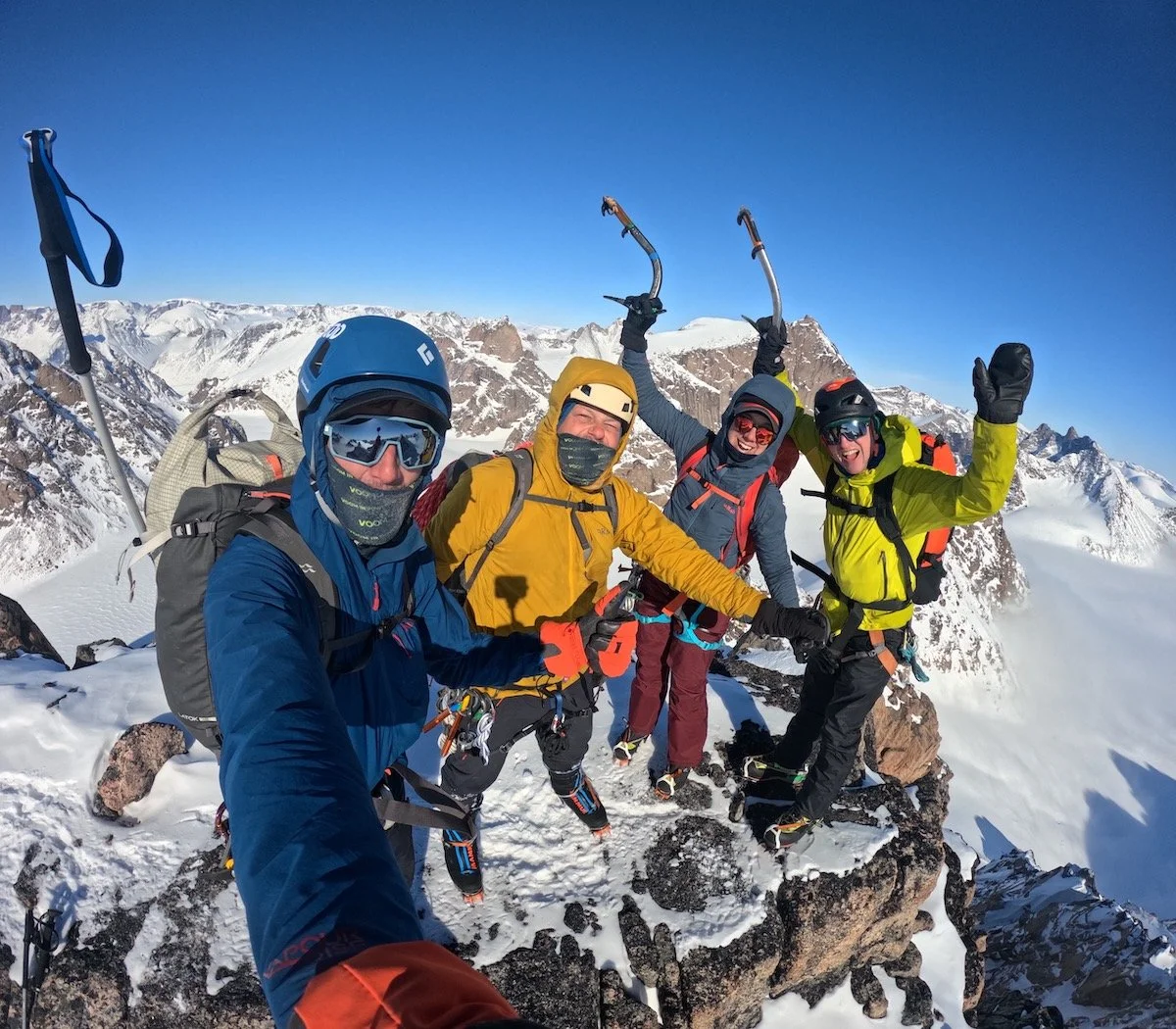
Rather than begrudging the regulations and inconvenience, many climbers of Hueco seem to recognize that the lizard life represents something necessary about an incredible world-class climbing area that climbers share with the world. This holistic take on climbing access even pervades the art coming out of the Hueco climbing scene. The Hut Smut Review is a zine that many locals and travelers have contributed to in its first few years. The driving force behind Hut Smut is to get into the complexities of who we are as climbers and how that fits into our other identities. Joe Knapp, one of the creators of the zine, says the idea originated during the dead space and boredom of hot lizard days. What else will emerge from this landscape?

Like every crag, Hueco is a unique experience. Traditions and competitions have emerged around Hueco’s boulders, ecology, and culture. Climbers aren’t afraid to hold each other to the ethics of the area. And at the center of it all are the crimps that taste like glory, that pulled us in in the first place.
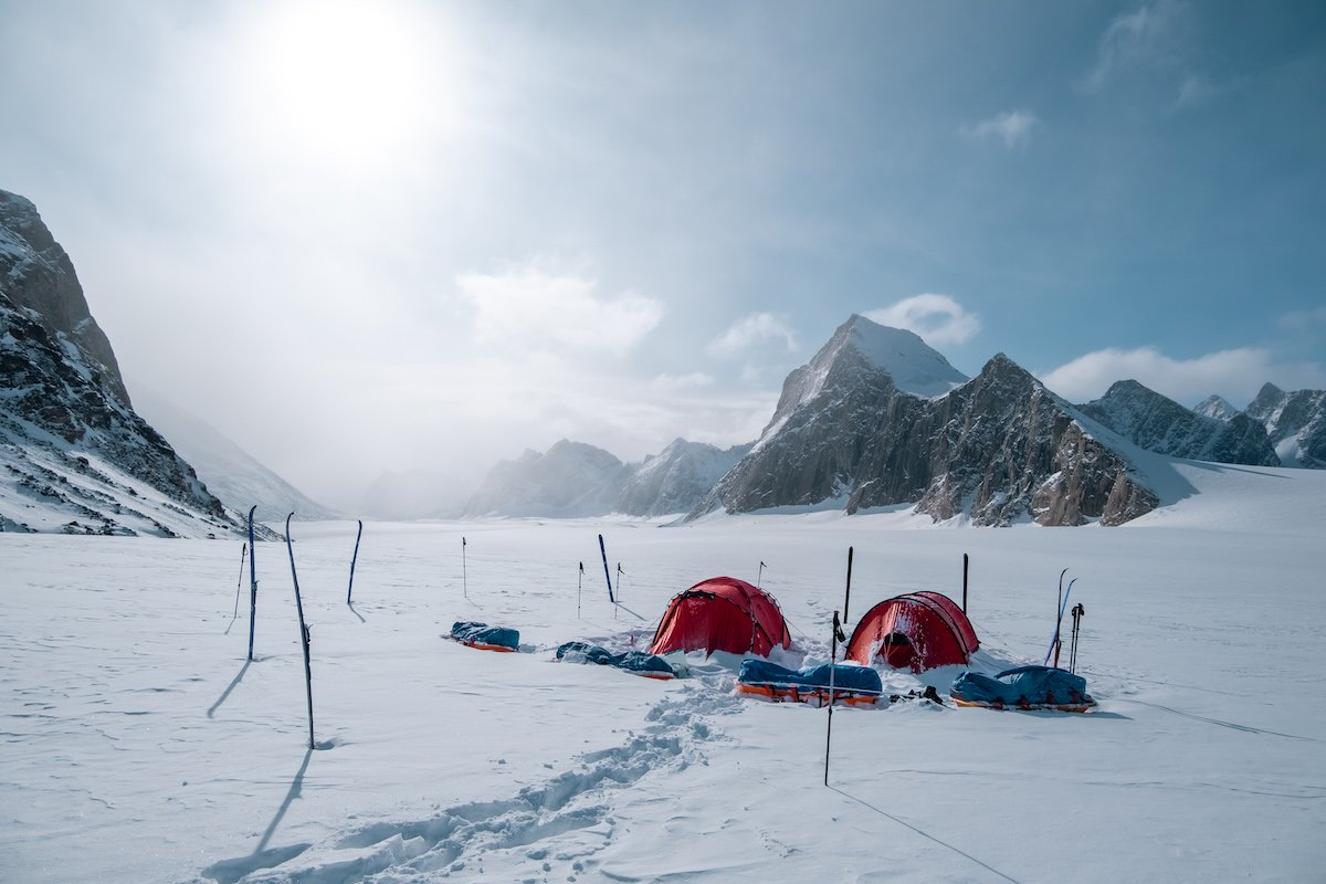
Forget stone monkeys—meet us in the dusty Hueco Tanks parking lot so we can be rock lizards.
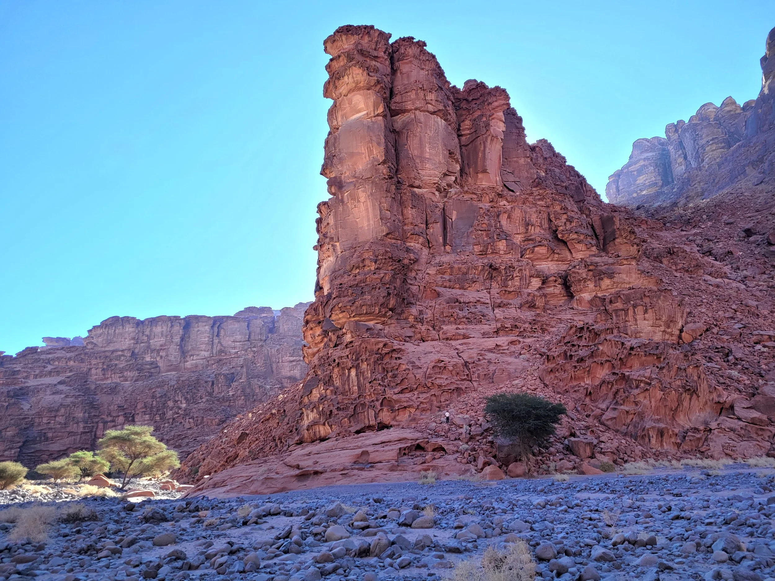
Psyched to visit Hueco? It’s imperative that you be in the know on all Hueco Tanks State Park regulations and the ins and outs of getting a guide: tpwd.texas.gov/state-parks/ hueco-tanks/activities


Sign Up for AAC Emails

The Line—Reward and Risk on Kaqur Kangri

Most of the descent from the 6,859-meter summit of Kaqur Kangri involved exposed downclimbing. Photo by Spencer Gray.

Three teams will be honored with Piolets d’Or in Italy this December, and all three contributed feature articles about their climbs to the 2025 American Alpine Journal (AAJ). Tom Livingstone wrote about his and Aleš Česen’s new route on Gasherbrum III in Pakistan; Dane Steadman described the first ascent of Yashkuk Sar, also in Pakistan, with August Franzen and Cody Winckler; and Spencer Gray told the story of climbing the southwest arête of Kaqur Kangri in Nepal with Ryan Griffiths. 

There’s a lot to love about Spencer’s AAJ piece—it documents an amazing ascent. But we were also struck by the final passage, in which he reflects on the inherent and sometimes insidious risks of Himalayan alpinism. No one got hurt on the climb of 6,859-meter Kaqur Kangri, but afterward Spencer tallied 20-plus incidents that each could have ended very badly. Honest self-assessments like this are essential to a long life in the mountains, so we’ve shared Spencer’s thoughts here for readers to consider in light of their own climbing.


Kaqur Kangri: A Dangerous Game

Objectives like the southwest arête of Kaqur Kangri used to be what most climbing was: trying something kind of hard, an inconvenient distance from home, and relying on imagination as much as effort to turn a thing dreamt into a thing done. There are still plenty of places to contrive that same experience. We just have to look harder—and be willing to court risk in an unpredictable operating environment. 

Our team didn’t have what we’d consider a close call, but in debriefing, I still counted 23 discrete times when the risk ticked up. A mule nearly broke my knee with a kick when I tried to bring it into camp one morning. On our first day of climbing, we hustled up a ramp that was probably at the outside edge of the ricochet zone of the upper serac band. Two days later, Ryan [Griffiths] and I both simultaneously realized that we were pushing our unroped luck on low-angle but hard-frozen talus above the west face. “If we slip here, it’s to the bottom, eh?” I said.

Of four minor rockfall incidents, we mitigated two by our choice of protected belays and bivvies. Another was friendly fire: On rappel, I chucked a baseball-sized rock so the ropes wouldn’t dislodge it. But I misaimed, and the rock bounced down the snow slope and nailed Ryan in the shoulder. I reasoned that Ryan had probably done something in a prior life to deserve getting punched in the clavicle. He was less sure.

On day three, below the snowfield, we pulled through suspended, stacked blocks in a roof that would have chopped the rope had they dislodged. On the upper headwall, my ice tool tethers got tangled behind a cam after I had campused out a diagonal rail. I couldn’t reverse the move, and I couldn’t continue until I had unthreaded the tools. Half growling, half screaming, I locked off on one arm, frontpoints screeching, and freed myself. When he followed, Ryan simply lowered out and jugged. 

On the descent, Ryan and I had probably our riskiest moment when we crossed a 40-foot-wide wind slab partway down the upper northwest face. It appeared suddenly, a shallow pocket of cross-loaded danger in an otherwise stable snowpack. The tension on the slope and the soft, hollow thump as our boots and ice tools pressed through the snow put us both on edge. But with no other signs of failure or propagation, and a morning of downclimbing a similar aspect and angle above us, we each judged it safe enough to proceed.

An hour before we regained the base of the mountain, fed up with navigating the messy corners of the final glacier, we briefly but obtusely committed to soloing steep glacial ice, embedded with crushed pebbles, as we traversed 15 feet above the bottom of a closed crevasse. We were spurred on by our friend Matt’s tiny light in the distance and the promise of fresh Snickers. Perhaps a week on the mountain and the tedious descent had dulled our nose for risk. 

Three days later, we stopped at Chyargo La on the trek back out and took in our final view of Kaqur. I crouched beneath fluttering prayer flags to lounge against a rock, my fingers getting sticky pulling globs of gulab jamun out of a can we’d saved until now for a treat. Kaqur’s summit seracs glinted in the midday sun from what seemed like a very long ways away. Matt and Ryan laughed as I passed them the can for a shot of syrup to wash it all down.

—Spencer Gray

In the decade between 2015 and 2024, 73 individuals received Piolets d’Or to honor alpine-style ascents completed in the prior year. Eight of these highly skilled climbers—about 11 percent—subsequently died in the mountains. It is no secret or surprise that high-level alpinism is a very dangerous game. Nonetheless, Spencer’s words remind us that the hazards are manifold and ever present, and that these often superhuman achievements also come with heavy potential costs. —Dougald MacDonald, Editor, AAJ

Ryan Griffiths rappelling the northwest ridge of Kaqur Kangri. The team exited to skier’s left off the glacier below to return to their advanced base camp. Photo by Spencer Gray.

Spencer Gray on beautiful rock at about 6,000 meters on Kaqur Kangri, below the hanging snowfield that separates the south face’s serac bands. Photo by Ryan Griffiths.

“Climb if you will, but remember that courage and strength are nought without prudence, and that a momentary negligence may destroy the happiness of a lifetime. Do nothing in haste; look well to each step; and from the beginning think what may be the end.”
— Edward Whymper, "Scrambles Amongst the Alps"

New Cutting Edge Episode—Ultar Sar’s Southeast Pillar

Ethan Berman, Sebastian Pelletti, and Maarten van Haeren (left to right) on the summit of Ultar Sar. Photo: Maarten van Haeren.

The Cutting Edge podcast has returned for a new season of in-depth interviews with climbers just back from great ascents. The October episode highlights one of the climbs of the year from the Karakoram: the first ascent of the southeast pillar of 7,388-meter Ultar Sar in Pakistan. Host Jim Aikman interviewed climbers Ethan Berman and Maarten van Haeren, along with Karakoram expert Steve Swenson (more than 20 expeditions to Pakistan!) and AAJ editor Dougald MacDonald. 

New episodes of the Cutting Edge will appear each month during the 2025–2026 season! Subscribe to the feed wherever you get podcasts to ensure you never miss an episode.


The Line is Powered By:


The Line is Supported By:


The Line is the newsletter of the American Alpine Journal (AAJ), powered by Arc’teryx, with additional support from Mountain Project by onX. The line is emailed to more than 80,000 climbers each month. Sign up below to receive future emails. Find the archive of past editions here. Got a potential story for the AAJ? Email the editors at [email protected].

To see The Line every month, sign up below!

The Fluidity of Grief and Beauty: A Story from the McNeill-Nott Award

Photo by AAC member Kelly Fields.

By Heather Smallpage

Originally published in Guidebook XVI

I move, therefore I am. I reminded myself of this throughout the journey to and from Arviqtujuq Kangiqtua, formerly known as Eglinton Fjord. Throughout our five-week, multi-sport, primarily human-powered expedition to Baffin Island, in the Canadian Arctic, Kelly Fields, Shira Biner, Natalie Afonina, and I continued to move. We skied over 100 miles across the sea ice in order to get there, and we slogged for another 100 miles over moraine fields, loose talus, sinking meadows, a frozen lake, and a partially frozen river to get out. Movement was our rule, our rhythm. And as a team of three women and a non-binary person, we were motivated to define this movement on our own terms.

Kelly, Shira, Natalie, and I met for the first time in person at the Ottawa Airport en route to the Arctic. Only a few of us had tied in together before this trip. Prior to our real-life introduction, we spent months exchanging messages, photos, screenshots, videos, and group calls on WhatsApp. Now, past the logistical chaos of prep for this expedition, we still had a lot of learning to do about each other. I’m lucky in that I know an abundance of female, non-binary, and queer people who are incredible climbing partners. I prefer to rope up with them because of my ongoing struggles with self-confidence and self-trust that I learned in the shadow of my male climbing partners.

Here was an opportunity to move toward my goals and the style of climbing that most inspires me, alongside a group of people who uplift one another. When we received our first grant—the McNeill-Nott Award from the American Alpine Club—I started to feel that other people believed in us, which gave me more belief in myself. Representation is important, and the organizations that supported us believed that too. It was coming together all too perfectly.


I stared at the vast ice and seascape before me: Circles of white interrupted the piercing blue water that settled up to a foot deep in some places. We were leaving the bay in the small Inuit community of Clyde River.

The gray sky let go of gentle snowflakes that melted on my sunglasses, making my surroundings appear as if I were looking out a window on a rainy day. “So...how thick is this ice?” I asked, my voice wavering. The last time I had put skis on was a number of years ago. On snow, on solid ground.

However, I was soon submerged within and captivated by the ice’s symphony as we glided, heaved, soared over, walked, and trudged—depending on the conditions of the sea ice—over a hundred miles on a seascape that was constantly changing. Moving through that environment was dictated by the wind, temperature, snow, and our bodies’ needs. One moment, we would be trapped in a cloud, the snow absorbing the sound around us and sticking to our ski skins so thick that we had to take them off. Moments later, after turning a corner, the winds had blown the clouds and snow off the surface, and we found ourselves flying over the best ice conditions we had yet experienced. That landscape spoke to me, telling me that it, too, exists in states of movement and change.

I often look to the natural world to find my own sense of belonging. Being a non-binary person often means that I don’t always find a type of belonging that is representative. I struggle in groups of men. In groups of women, I push back on the definitions and create an exclusionary space for myself. Asking for a non-binary category creates the exact thing I don’t want to exist within: a category. One day, I hope I can exist in a way that is outside the confines of man or woman—that I can exist as myself without needing to choose between explaining and educating, or quietly disrespecting myself.

Photo by AAC member Natalie Afonina.

The thing about gender, being non-binary specifically, is that it’s simultaneously the most painful and most beautiful experience one can have. There is a deep gratitude in being the truest form of yourself; there is a wholeness in accepting one’s authenticity. It can also often be painful to a core level. My relationship with gender is like the Arctic wind: always present, sometimes gentle and caressing, other times a chaos that threatens to knock me down.

I felt the spirits skiing into Arviqtujuq Kangiqtua. Finally, among those great walls, exhausted, hungry, sore, and cold, we debated where to set up our base camp and had a hard time getting anywhere productive with it. I remember feeling confused about how I could be in the greatest place I’ve ever stood, a place that made my soul feel so full, yet in conditions that made my humanity feel so absent. Feeling insignificant because of landscapes that humble us is familiar to me, welcomed even. I much prefer the way the land makes me feel small, compared to the way humans have that same ability.

We settled into a base camp at the toe of Eglinton Tower. For a few days, we unpacked our cache of climbing gear and food, and Kelly and I healed our blisters we got from skiing in. I had blisters, and Kelly essentially had holes in her feet. After a few days of rest and skin care, inspired by a period of good weather, we started up the talus to the mountain’s base.

Some hours later, I found myself in a massive offwidth flake high up on the route at midnight, poking my head outside of it, feeling the never-setting sun on my skin. I saw a river of clouds drifting through the canyon below us, swallowing the ground and remaking it into a moving mass of shadows, curves, and drifts that was the most spectacular portrayal of beauty my eyes have had the pleasure of taking in. I started crying in disbelief. Then crying in belief. How often is it that we have the opportunity to pause and take in the moments of beauty that surround us? I had not experienced something that forced me to see my own grandeur and the beauty of it all, or to reckon with the work that I’ve put into arriving here. I found myself in the center of all of that, celebrating this arrival as I felt my humanity swimming through my body as I swam my way up the chimney.

Eglinton Tower has two tiered summits connected by a long stretch of 2nd-to-5th-class terrain. We ascended the main headwall on the lower summit, walked along a series of ledges, and scrambled to the top of a terrace as snow and wind started blowing. From there, we saw the true summit, another 300 meters of rock with portions of snow and ice. It looked unwelcoming and uninspiring with the worsening weather and our lack of food and energy. We celebrated our high point and began our 11-hour descent.

After 49 hours, Kelly, Shira, and I had made our way up and down Eglinton Tower, establishing Lemnos in the Clouds (5.11+ A0). I could say many things about that climb—about our shiver bivy, how Kelly climbed in approach shoes because her heels still had holes in them, how beautiful the rock was to climb, witness, and respect—but the lessons it taught me in taking that pause stay with me most. A pause to let yourself listen to and sing with the birds, to witness the magnificence of your surroundings, and yourself within them; a pause to allow yourself to be in awe.

Photo by AAC member Kelly Fields.


Photo by AAC member Heather Smallpage.

After resting for a few days and monitoring the weather, we decided to start moving from base camp to our next obstacle: Ayr Pass, a six-kilometer pass that connected us to Ayr Lake. It looked cruel and intimidating, and unfortunately was our only option to get back to Clyde River. Now that we had more food, our climbing gear, packrafts, and other essentials resupplied from the cache, we found ourselves with hundreds of pounds of food and equipment. Thus, we became mules.

As we approached Ayr Pass, the fjord fingered off into an outlet and the walls grew around us—the blackest walls I’ve ever seen, where light is swallowed by the water that has dripped and stained the rocks throughout time. We did some repacking and started off on the first of our slogs. First, we crossed a moraine field flowing with a river of silt, where our steps were swallowed by saturated sand and mud. Then came heinous mounds of sand, a frozen lake covered by avalanche debris that we post-holed through, and a large field of loose talus scattered with unstable boulders of all sizes. Finally, we navigated 3rd and sometimes 4th-class terrain with our loads threatening our balance. At last we arrived at our new camp with stiff shoulders and bruised hips, surrounded by tussocks, wildflowers, mosses, streams, boulders, and probably fairies. We walked Ayr Pass five times, three times with heavy, awkward bags.

The conditions of Ayr Lake were a big question mark, and one that would dictate how fast we could move and how easy it would be to continue. Navigating an ice breakup is difficult and incredibly slow-moving work, which we hoped to avoid by getting to the lake before the weather warmed up. Fortunately, it was still solidly frozen apart from the edges, so we packed our pulks again with all our gear and headed north, across the lake toward the Kuugaaluk River.

All this slogging allowed me to take a moment to check in with myself. At this point three weeks in, I wasn’t eating or sleeping much. I felt angry and I couldn’t focus for long. Suddenly, it became abundantly clear: I wasn’t doing too well.

Despite so many moments of connection with myself, moments that could be nothing but experiencing a relationship with this landscape, I was emotionally exhausted from, of all things, disconnection.

I had hoped that going to Baffin Island with women would be a chance to be part of something that could heal some of the jealousy, insecurity, and isolation I feel when I compare myself to people I can understand but don’t identify with. Instead, I found myself drowning. The contradiction was startling: We were in a landscape that elicits a presence that connects to the soul, among certain dynamics that severed any hope of authenticity from each other. The weight of the grief grew heavier as I came to understand that I wasn’t part of a team where there was care for one another or compassionate communication, as I had dreamed.

We were a fractured group because of behaviors that placed experiences and achievements above character.

Photo by AAC member Kelly Fields.


Support This Work—AAC Grants

Today, with up to $100,000 in annual grant awards, the Club continues to support these endeavors and is proud to stand behind the individuals and their projects which seek the betterment of the climbing community and climbing landscapes.


Photo by AAC member Kelly Fields.

Approaching the end of our trip, we spent two days paddling on the Kuugaaluk River— the two most peaceful days of the expedition. On our first day, we were in light rain as we pushed off from our beachfront camp. Our second day on the river immersed us in blue skies and gentle flows.

I spent the few hours we had on the river floating and singing along with the rhythm of the water. It was a time for reflection about all the land we had moved across, by foot, ski, rock, and water; all the far-reaching sights we had seen; and the variety of noises the wind creates. It was a place that connected me to myself, and the changing currents of the water reminded me of the changes in myself—my movement going forward, my flow being the pace of the moment, needing to be nothing more than what I am. The river offered me peace and gentleness when I needed it most. When we got to shore, I thanked the Kuugaaluk as I looked up and felt the sunshine on my skin.

To me, the Arctic feels like a landscape that knows no depth, with wisdom frozen in the glaciers and a sea that is inaccessible to those just passing through. It is a place that impels one to be fully present with your surroundings.

I left Baffin Island with feelings of wonder, gratitude for the lessons from the land, and a deep exhaustion permeating my mind and body. Since coming back and having space to process the duality of the beauty and grief of it all, I’ve felt as if I’ve been laid out for the one who matters most: myself. My resiliency, grit, and authenticity stare back at me. I moved deeper into the person I am.

I move, therefore I am.


Sign Up for AAC Emails

The Line: First Ascents and New Routes on Stunning Peaks in Tibet

Sir Duk (Golden Dragon, 6,614m) in the Nyanchen Tanglha West mountains. Behind and to the left is the Nyanchen Tanglha Group, with the highest summit, Nyanchen Tanglha I (7,162m), on the left. Three routes have been climbed up the sunlit southwest face and south ridge of Sir Duk, including two summit routes and a line in 2024 that reached the west shoulder. That report is now at the AAJ website. Photo: Fan Rui

The vast Nyanchen Tanglha (a.k.a. Nyainqentanglha) ranges in Tibet span more than 750 kilometers in an arc north of Lhasa—it’s one of the world’s great collections of unclimbed or seldom-climbed high peaks. In the first decade of the 2000s, the Japanese geographer and photographer Tamotsu Nakamura, an AAC honorary member, published a series of articles describing these mountains, including a three-part opus in AAJ 2003 on mountains “East of the Himalaya” (also the title of Nakamura’s landmark 2016 book), with enticing photos from the Nyanchen Tanglha East range.

A bit of a gold rush followed, with various Western climbers snagging the first ascents of attractive summits in Nakamura’s photos. However, there are major logistical difficulties to climbing in this area, including road access and permits. The last AAJ articles about climbs in the Nyanchen Tanglha by Western climbers were published in 2017.

Into the breach has stepped a cohort of Chinese alpinists who have rapidly gained experience and skill in their home mountains in recent years. Now ready to tackle more difficult and remote objectives, they have made many impressive ascents, aided in part by rapid development of road and rail networks in Tibet. Three climbs from late 2024 are highlighted below. These reports could not be completed in time for the 2025 AAJ, but these ascents and many more in Tibet will be described in detail in next year’s book.

Many thanks to Xia Zhongming, who facilitates and writes AAJ reports from China— including these three—and has contributed greatly to the world’s knowledge of modern Chinese alpinism.


MANAMCHO FROM THE SOUTHWEST

Manamcho (6,264m) from the northwest. The original route (2007) climbed the arête facing the camera. The 2024 route by Chinese alpinists Liu Junfu and Wang Shuai climbed the right side of the sunlit face. Photo: Lai Xingzhu

In 2005, British climbers Mick Fowler and Chris Watts made the first ascent of Kajaqiao in the Nyanchen Tanghlha East mountains. Two years later, Fowler returned with fellow Brit Paul Ramsden to climb Manamcho, a spectacular, Matterhorn-like peak nearby, by the northwest ridge. In September 2024, Chinese alpinists Liu Junfu and Wang Shuai climbed Manamcho’s second route, up the southwest side of the 6,264-meter mountain, in one long day from high camp. To overcome a crux rock slab near the top, Liu tied a rope to one of his ice tools and threw it up the rock. After more than ten tries, the tool stuck and Liu was able to batman up the rope and surmount the slab, opening the way to the summit. See the full report.


CHUCHEPO, FIRST ASCENT

Chuchepo (6,613m), with the 700-meter northeast face in shadow. This face was climbed directly to the summit in September 2024. Photo: Tong Haijun/Wang Yongpeng

Wang Yongpeng on the upper northeast face of Chuchepo during the first ascent. The shapely peak in back is unclimbed Sendho (6,252m). Photo: Tong Haijun

In the southwest section Nyanchen Tanglha East lies Nenang (6,870m), the highest of this range’s unclimbed peaks. Around 10 kilometers from Nenang to the west and east stand two spectacular mountains: Chuchepo (6,613m), west of Nenang, and Jiongmudazhi (6,590m) to the east. Both peaks were noted in AAJ 2007, but no known attempts were made on either peak until August 2024, when Tong Haijun and Wang Yongpeng from China climbed Chuchepo by a direttissima on the northeast face.

On August 16, the two began their approach from the Niwu Valley to the north, establishing advanced base at 5,300 meters after an 11-hour day. From there they scoped a feasible line up the northeast face. The next day, the pair spent seven hours crossing the snow-covered, crevassed glacier before camping at 5,900 meters.

On the 18th, the two left camp at 3 a.m., and after a difficult pitch to cross the bergschrund, they continued up easier terrain to reach 6,230 meters before sunrise.

The major technical difficulties now followed. Wang led a pitch where the ice was too thin to place screws and the rock too compact for cams. Tong then climbed a very run-out pitch on snow-covered compact rock. After this, the snow became deeper and the difficulties eased. Wang made a final belay in deep snow a couple of meters below the summit ridge, and Tong then tunneled through the cornice and continued up left to the highest point. The 700-meter route was graded D+ M4 AI3 75°. See the full report.


JIONGMUDAZHI, FIRST ASCENT

The northwest face of Jiongmudazhi (6,590m) and the line of the first ascent in September 2024. Photo: Tong Haijun/Wang Yongpeng

Less than a month after climbing Chuchepo, Tong Haijun and Wang Yongpeng returned to the area in September 2024 to attempt the first ascent of Jiongmudazhi (6,590m). Again, Tong and Wang approached from the north, via the Biyong Glacier, where they spent a very difficult day bypassing an 800-meter-wide icefall surrounded by steep cliffs. On September 8, another big day brought them to their second camp, at 5,855 meters.

The next morning, they left at 3 a.m. The visibility was poor, and it began to snow heavily. They alternated trail-breaking to the foot of the northwest face, left of the fall-line from the summit. Crossing the bergschrund, Tong led a five-meter vertical ice wall followed by deep snow. Wang led both the second and third pitches, slanting right toward a rocky area. Above this, they then began simul-climbing with intermediate protection; at one point, the two pitched a 20-meter vertical section with no protection.

When dawn broke, an ice block the size of two sofas collapsed from a serac barrier less than 50 meters away. They continued, climbing the right side of another serac barrier, when suddenly the mist cleared and they saw the main summit over to their right. This clearing was fortunate, as otherwise they would have continued up to a false summit. They reached the top at 11 a.m. and were back at their first camp by 5 p.m., having rappelled most of their route. See the full report.

We’ll be adding more of these reports and others from China to the AAJ website in the coming weeks. Follow the AAJ Instagram page for updates.


The Line is Powered by:


The Line is Supported By:


The Line is the newsletter of the American Alpine Journal (AAJ), powered by Arc’teryx, with additional support from Mountain Project by onX. The line is emailed to more than 80,000 climbers each month. Sign up below to receive future emails. Find the archive of past editions here. Got a potential story for the AAJ? Email the editors at [email protected].

To see The Line every month, sign up below!

The Line: A Wild and Crazy First Ascent in Idaho

First ascents are as much about imagination as they are about strength and skill: They require seeing a possibility where few had imagined one before. River guide and climber Matt Ward had seen a huge, steep wall above Idaho’s Salmon River many times, and he dreamed of making the first ascent. The wall looked climbable, but how to get there? The wild story of how he and Ky Hart solved that problem is published below. Matt’s story appears in AAJ 2025, which is now starting to arrive in AAC members’ mailboxes. But not everyone reads the AAJ cover to cover, and we didn’t want anyone to miss this unique tale of adventure.

IMPASSABLE CANYON, REDSIDE WALL

“Beavers!” Ky Hart yelled over his shoulder.

“No! Bears!” I yelled back.

Actually, it was three bears. Two small black bear cubs were timidly swimming on an eddy line in the Middle Fork of the Salmon River. The large mama bear was waiting for her cubs to follow her across, and she stood up tall when she saw Ky and me about to swim between her and her babies.

“I’m gonna touch one!” Ky yelled out.

My instinct was to do the exact opposite—swim away from them. But the swift current was quickly moving us both directly at the cubs. Fortunately, our appearance shocked them into action. The cubs swam hard for mama, and the current shot us past them.

Looking back on the experience later that day, it occurred to me that the fact that Ky’s first thought was to swim over and touch a wild bear cub while its mother watched was one of many things that made him the perfect partner for this trip. Unhinged, yes. But our plan to hike 22 miles, swim three and a half miles of whitewater, and climb a new route on a backcountry big wall would require more than a little madness.

The view of Redside Wall from the Middle Fork of the Salmon River. It would be a challenging first ascent if it were near the road. Eighty-two miles down a heavily regulated wilderness river, Redside would require a novel approach. Matt Ward

Impassable Canyon on the Middle Fork of the Salmon, deep in the heart of Idaho’s massive Frank Church Wilderness, is legendary among river runners and all but unknown to climbers. River permits for the Middle Fork can only be won through a lucky pick in the annual lottery. Once a trip has launched, numerous necessary rules regulate the way that boaters can use the wilderness. One of these prohibits any river trip from camping more than one night in Impassable Canyon.

Over three commercial seasons as a raft guide on the Middle Fork, I had become obsessed with what appeared to be the tallest wall in Impassable Canyon. It’s a landmark for the famous Redside Rapid, and because of this, I’ve always called it the Redside Wall.

The Redside Wall is 82 river miles from the Boundary Creek boat ramp. The nearest trail to the wall crosses the river 3.5 miles upstream, but only after a 22-mile hike down Waterfall Creek. Over years of dreaming about trying to climb Redside, that seemed like the best option—except that those 3.5 downstream miles aren’t walkable at water level; the river often runs against steep, impassable walls. Hitchhiking downstream on river trips would also be illegal, since we wouldn’t be listed on the boat’s permit.

During one of many conversations with river and forest administrators on how to access the area legally, I finally asked the right question. “I don’t need a permit to swim in the river, do I?” The answer was no, I didn’t, delivered with a sideways glance and a chuckle.

At that moment, I hatched a plan. Ky and I would hike the Waterfall Creek Trail into Middle Fork Canyon, descending over 5,500 feet in 22 miles. Then we would swim with our backpacks down 3.5 miles of whitewater, including numerous Class III rapids. Then we would spend three days making the first ascent of a dramatically overhanging wall. Then we would join a friend’s river trip (for which we were listed on the permit) and paddle out.

Ky Hart adds some natural flotation to his waterlogged backpack during the three-mile swim down the Middle Fork of the Salmon River. Matt Ward

On August 29, 2024, we began the hike. After eight hours on the move, we reached the Middle Fork and made camp near the confluence with Big Creek, where a charred hillside across the river was still smoking from a wildfire. We were awoken repeatedly that night by the sound of trees falling and rockfall.

The next morning, we walked until Cutthroat Cove Rapid, where the bank cliffed out. It was time to swim. We eased into the river wearing our PFDs, gasped at the chill of the water, and began the most ridiculous stage of the plan. The bear sighting happened within the first mile. Soon after, our lips were blue, our teeth chattering. Ky found driftwood logs and lashed them to his backpack, which kept him farther out of the water. I opted for walking on sunlit banks when possible; this paid dividends when I found two beers that had been lost by some river trip.

Despite walking past several rapids, we still swam three miles. After the portage around Wall Creek Rapid, we jumped in for the final swim to the wall. Arriving at the beautiful beach beneath it felt a little surreal.

That afternoon, we started up the gully leading to the base of the wall and found the big-wall rack and portaledge I had stashed the week before, while guiding a trip down the river. We began climbing beautiful gray granite, smooth as glass in places. The gully pitches had worried us because they’d looked so polished, but we found enough cracks, bushes, and trees to make good, if dirty, progress.

Matt Ward leads the first difficult aid pitch (A3) on the upper Redside Wall. Ward had cached climbing gear and a portaledge below the wall during a previous river trip. Ky Hart

That evening, we were back on the beach, having fixed our ropes on the first three pitches. With seven river-trip launches a day on the Middle Fork, it was inevitable we would see many boats during our time on the beach. So began the endless answering of questions like, Where’s your boat? And, You didn’t really swim here, right? And, Do you need some beers? I love many things about river people, but especially the ever-present beer supply and the willingness to hand cold ones to suspect characters limping across the beach claiming they’re here to “do a little climbing.”

Hart jumaring after the bivouac on the Redside Wall, with the Middle Fork of the Salmon River about 1,500 feet below and wildfire smoke filling the air. Matt Ward

The next morning we packed the haulbag and committed to the wall. Our progress slowed considerably as the wall reared back and the cracks became seams. Beaks, hooks, and small gear got us to a decent bivy and, just like that, the first A3 pitch was in the bag. Ky went up on the next aid pitch and—long after sunset—kept hooking in the dark. We were, as usual, lost on the wall, but hadn’t found any dead ends yet.

Dawn broke hot. The smoke in the air was dense. We decided to pack a day bag, bring all of the rope we had, and see what happened. Ky swung 20’ away from the wall as he jugged the static line, a reminder of just how steep this thing was.

Looking down from high on the Redside Wall. Matt Ward

We were now in the large open book feature that splits the middle of the face, and the angle eased with every rope length. On the 12th pitch, I left the book and headed straight up with hopes of topping out. A mix of hooking and free climbing brought me onto a ledge covered in huge blocks, with a panoramic view of Impassable Canyon. We could see the Waterfall Creek Trail, most of what we’d swum to get here, Redside Rapid, and much of what lay downstream of us. A short scramble and a 5.8 pitch reminiscent of climbs in the Sawtooth Mountains brought us to the top. Not so much a summit as a high point on a ridge, 1,800 feet above the Middle Fork. We descended to the portaledge by rappelling from natural anchors.

The first lightning strikes happened at twilight but were far enough off to the west not to worry us at first. The Sawtooths and the Salmon River Mountains are both well known for exceptionally violent thunderstorms, and I’ve been pinned down by them more times than I’d like to remember. As the storm came closer, Ky began shooting photos as the lightning illuminated our exposed portaledge. It may have been an illusion, but it seemed we were above the lighting as it shot through the clouds. I pondered whether our 25 beaks could act as a lightning rod. We fell asleep late that night to a soundtrack of thunder, both silently repeating our trip’s mantra: Unkilled once again, so far.

Matt Ward and Ky Hart at the top of the Redside Wall after completing its first ascent via No Rolling Stone (13 pitches, V5.10 A3). Matt Ward

The next day, as we lazed in the shade at the beach, our friends swung by to pick us up, as planned. Our buddy J.P. and the other 13 people on his river trip loaded us up, fed us, and treated us like royalty. We spent another night on the river and the next day drove out to the city of Salmon, ecstatic and shocked that the logistics had all worked out.

Two weeks later in Stanley, Idaho, I married Makayla Hoyt, my best friend and the woman of my dreams, at a beautiful ceremony along the Salmon River. The Redside Wall was my last hurrah as an unmarried man. For the first time in my life, I ain’t No Rolling Stone (13 pitches, V 5.10 A3). 

—Matt Ward


The Line is Supported By:

The Line is Powered By:


The Line is the newsletter of the American Alpine Journal (AAJ), powered by Arc’teryx, with additional support from Mountain Project by onX. The Line is emailed to more than 80,000 climbers each month. Sign up below to receive future emails. Find the archive of past editions here. Got a potential story for the AAJ? Email the editors at [email protected].